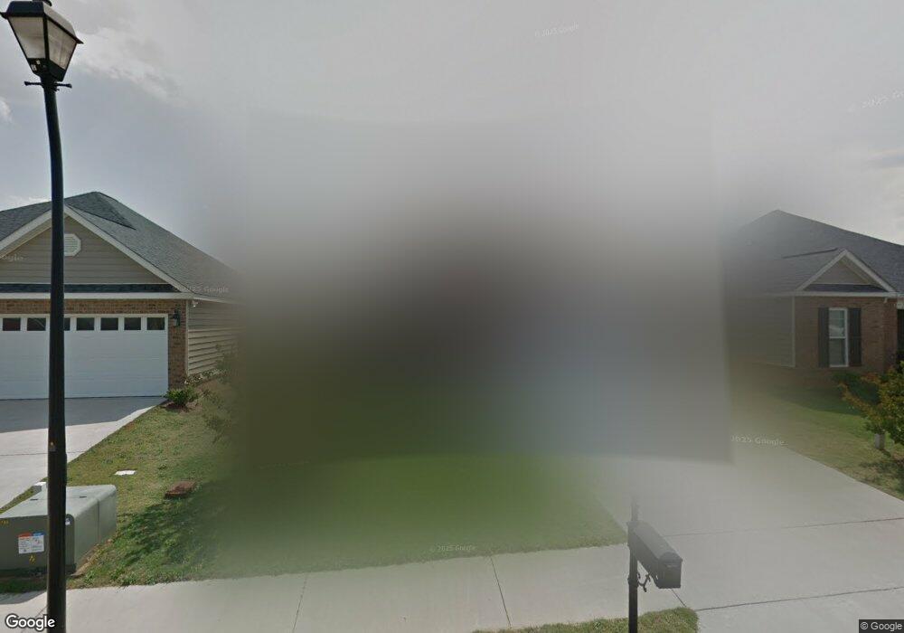
459 Bob White Rd Macon, GA 31216
Estimated Value: $193,962 - $228,000
3
Beds
2
Baths
1,300
Sq Ft
$164/Sq Ft
Est. Value
About This Home
This home is located at 459 Bob White Rd, Macon, GA 31216 and is currently estimated at $213,741, approximately $164 per square foot. 459 Bob White Rd is a home located in Bibb County with nearby schools including Heard Elementary School, Rutland Middle School, and Rutland High School.
Ownership History
Date
Name
Owned For
Owner Type
Purchase Details
Closed on
Jun 30, 2008
Sold by
Project Development & Management Llc
Bought by
Hutchings Charlotte T
Current Estimated Value
Home Financials for this Owner
Home Financials are based on the most recent Mortgage that was taken out on this home.
Original Mortgage
$123,499
Outstanding Balance
$79,026
Interest Rate
6.08%
Mortgage Type
VA
Estimated Equity
$134,715
Purchase Details
Closed on
Dec 17, 2007
Sold by
Project Development & Management Llc
Bought by
Mccrory David A
Purchase Details
Closed on
May 10, 2007
Create a Home Valuation Report for This Property
The Home Valuation Report is an in-depth analysis detailing your home's value as well as a comparison with similar homes in the area
Purchase History
| Date | Buyer | Sale Price | Title Company |
|---|---|---|---|
| Hutchings Charlotte T | $120,900 | None Available | |
| Mccrory David A | -- | None Available | |
| -- | $175,000 | -- |
Source: Public Records
Mortgage History
| Date | Status | Borrower | Loan Amount |
|---|---|---|---|
| Open | Hutchings Charlotte T | $123,499 |
Source: Public Records
Tax History
| Year | Tax Paid | Tax Assessment Tax Assessment Total Assessment is a certain percentage of the fair market value that is determined by local assessors to be the total taxable value of land and additions on the property. | Land | Improvement |
|---|---|---|---|---|
| 2025 | $1,546 | $62,916 | $10,000 | $52,916 |
| 2024 | $1,598 | $62,916 | $10,000 | $52,916 |
| 2023 | $1,555 | $61,245 | $10,000 | $51,245 |
| 2022 | $1,908 | $55,108 | $8,000 | $47,108 |
| 2021 | $1,994 | $52,465 | $7,600 | $44,865 |
| 2020 | $1,745 | $44,936 | $6,800 | $38,136 |
| 2019 | $1,759 | $44,936 | $6,800 | $38,136 |
| 2018 | $2,667 | $41,486 | $6,800 | $34,686 |
| 2017 | $1,504 | $40,152 | $6,800 | $33,352 |
| 2016 | $1,252 | $36,189 | $5,950 | $30,239 |
| 2015 | $1,772 | $36,189 | $5,950 | $30,239 |
| 2014 | $1,736 | $35,393 | $5,950 | $29,443 |
Source: Public Records
Map
Nearby Homes
- 465 Bob White Rd
- 105 Sweetgum Way
- 428 Bob White Rd
- 404 Hardwick Dr
- 660 Manning Mill
- 248 Sky Hawk Ln
- 328 Pheasant Run Trail
- 4136 Sardis Church Rd
- 116 Sarakay Cir
- 708 Coopers Lnd
- 421 Resting Fawn Place
- 143 Jabrok Cir
- 7020 Barcelona Blvd
- 102 Haylie Ct
- 104 Alayna Ct
- 813 Ocala National Trail
- 330 Cody Dr
- 7329 Houston Rd
- 405 Stonecrest Ct
- 3926 Juanita Dr
- 461 Bob White Rd
- 457 Bob White Rd
- 463 Bob White Rd
- 203 Sweetgum Way
- 115 Sweetgum Way
- 324 Karlee Dawn
- 111 Sweetgum Way
- 114 Sweetgum Way
- 467 Bob White Rd
- 320 Karlee Dawn
- 320 Karlee Dawn Unit 65
- 110 Sweetgum Way Unit 1/79
- 110 Sweetgum Way
- 110 Sweetgum Way Unit 136/4
- 109 Sweetgum Way
- 469 Bob White Rd
- 447 Bob White Rd
- 318 Karlee Dawn
- 108 Sweetgum Way
- 325 Karlee Dawn
Your Personal Tour Guide
Ask me questions while you tour the home.