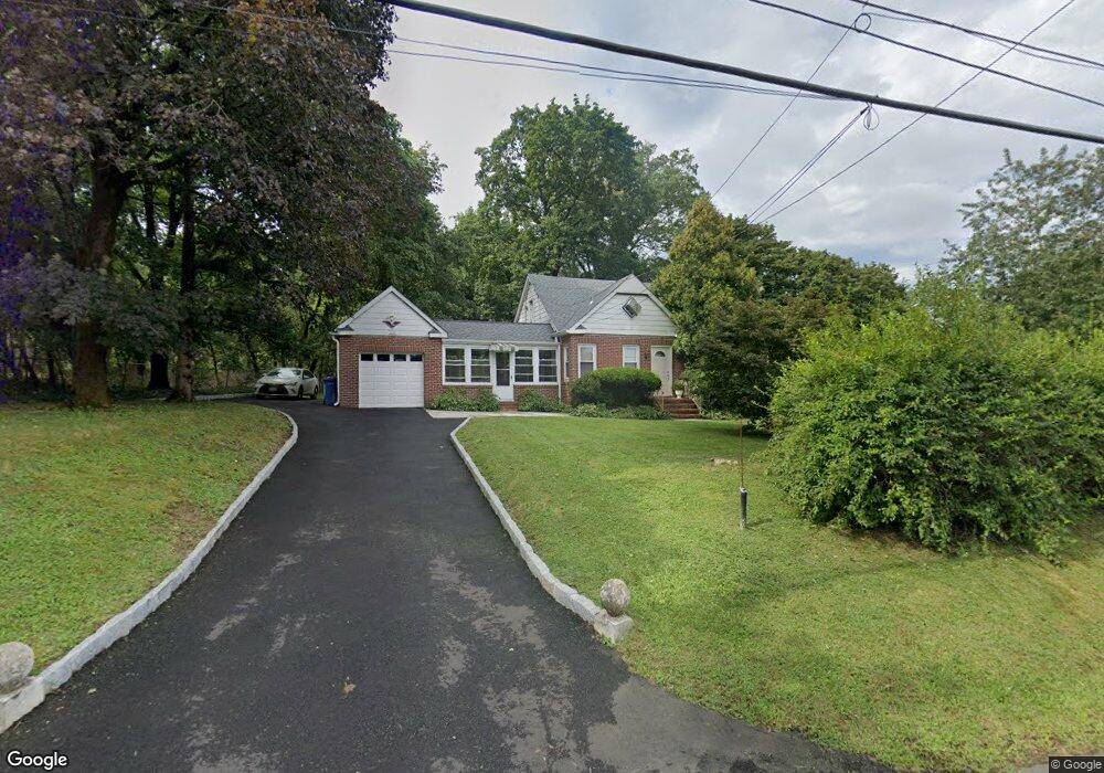
459 Bunker Hill Rd Princeton, NJ 08540
Estimated Value: $500,526 - $613,000
--
Bed
--
Bath
1,488
Sq Ft
$373/Sq Ft
Est. Value
About This Home
This home is located at 459 Bunker Hill Rd, Princeton, NJ 08540 and is currently estimated at $555,382, approximately $373 per square foot. 459 Bunker Hill Rd is a home located in Somerset County with nearby schools including Franklin High School, Guidepost Montessori at Kendall Park, and St. Augustine of Canterbury School.
Ownership History
Date
Name
Owned For
Owner Type
Purchase Details
Closed on
Nov 25, 1997
Sold by
Rozas Luisa
Bought by
Lyte Peter and Lyte Saldene
Current Estimated Value
Home Financials for this Owner
Home Financials are based on the most recent Mortgage that was taken out on this home.
Original Mortgage
$152,000
Outstanding Balance
$25,829
Interest Rate
7.28%
Estimated Equity
$529,553
Create a Home Valuation Report for This Property
The Home Valuation Report is an in-depth analysis detailing your home's value as well as a comparison with similar homes in the area
Home Values in the Area
Average Home Value in this Area
Purchase History
| Date | Buyer | Sale Price | Title Company |
|---|---|---|---|
| Lyte Peter | $160,000 | -- |
Source: Public Records
Mortgage History
| Date | Status | Borrower | Loan Amount |
|---|---|---|---|
| Open | Lyte Peter | $152,000 |
Source: Public Records
Tax History Compared to Growth
Tax History
| Year | Tax Paid | Tax Assessment Tax Assessment Total Assessment is a certain percentage of the fair market value that is determined by local assessors to be the total taxable value of land and additions on the property. | Land | Improvement |
|---|---|---|---|---|
| 2025 | $8,377 | $538,800 | $303,800 | $235,000 |
| 2024 | $8,377 | $464,600 | $303,800 | $160,800 |
| 2023 | $8,238 | $428,600 | $267,800 | $160,800 |
| 2022 | $7,323 | $361,100 | $200,300 | $160,800 |
| 2021 | $7,175 | $325,100 | $164,300 | $160,800 |
| 2020 | $7,141 | $316,100 | $155,300 | $160,800 |
| 2019 | $7,229 | $316,100 | $155,300 | $160,800 |
| 2018 | $7,302 | $316,100 | $155,300 | $160,800 |
| 2017 | $7,518 | $324,200 | $163,400 | $160,800 |
| 2016 | $7,583 | $324,200 | $163,400 | $160,800 |
| 2015 | $7,552 | $325,100 | $164,300 | $160,800 |
| 2014 | $7,418 | $324,200 | $163,400 | $160,800 |
Source: Public Records
Map
Nearby Homes
- 93 Mosher Rd
- 912 Canal Rd
- 730 Township Line Rd
- 79 Green Ave
- 9 Stirrup Way
- 128 Butler Rd
- 87 Meadow Lark Ln
- 181 Berkley Ave
- 10 Fredrick Ct
- 140 Bunker Hill Rd
- 161 Grayson Dr
- 8 Colts Run Rd
- 38 Coppermine Rd
- 512 Township Line Rd
- 15 Willow Run Ln
- 11 Briar Hill Ct
- 2 Beverly Dr
- 0 Township Line Rd
- 167 Dead Tree Run Rd
- 3995 Route 27
- 5 Dogwood Ln
- 469 Bunker Hill Rd
- 22 Honeyman St
- 6 Dogwood Ln
- 1 Dogwood Ln
- 18 Honeyman St
- 1 Three Acre Ln
- 14 Honeyman St
- 2 Dogwood Ln
- 19 Honeyman St
- 443 Bunker Hill Rd
- 15 Honeyman St
- 7 Three Acre Ln
- 483 Bunker Hill Rd
- 433 Bunker Hill Rd
- 44 Crescent Dr
- 981 Canal Rd
- 10 Honeyman St
- 38 Crescent Dr
- 2 Three Acre Ln