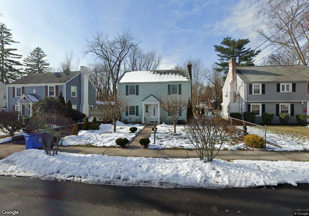
459 Cornwall St Hartford, CT 06112
Blue Hills NeighborhoodEstimated Value: $213,000 - $284,424
3
Beds
2
Baths
1,344
Sq Ft
$187/Sq Ft
Est. Value
About This Home
This home is located at 459 Cornwall St, Hartford, CT 06112 and is currently estimated at $251,856, approximately $187 per square foot. 459 Cornwall St is a home located in Hartford County with nearby schools including Rawson School, Breakthrough Magnet School - North Campus, and West Middle School.
Ownership History
Date
Name
Owned For
Owner Type
Purchase Details
Closed on
Jul 25, 2000
Sold by
Bankers Trust Co Calif
Bought by
Gold Prop Llc
Current Estimated Value
Home Financials for this Owner
Home Financials are based on the most recent Mortgage that was taken out on this home.
Original Mortgage
$60,000
Interest Rate
12%
Mortgage Type
Purchase Money Mortgage
Create a Home Valuation Report for This Property
The Home Valuation Report is an in-depth analysis detailing your home's value as well as a comparison with similar homes in the area
Home Values in the Area
Average Home Value in this Area
Purchase History
| Date | Buyer | Sale Price | Title Company |
|---|---|---|---|
| Gold Prop Llc | $60,000 | -- |
Source: Public Records
Mortgage History
| Date | Status | Borrower | Loan Amount |
|---|---|---|---|
| Closed | Gold Prop Llc | $60,000 |
Source: Public Records
Tax History
| Year | Tax Paid | Tax Assessment Tax Assessment Total Assessment is a certain percentage of the fair market value that is determined by local assessors to be the total taxable value of land and additions on the property. | Land | Improvement |
|---|---|---|---|---|
| 2025 | $4,082 | $59,204 | $6,284 | $52,920 |
| 2024 | $4,082 | $59,204 | $6,284 | $52,920 |
| 2023 | $4,082 | $59,204 | $6,284 | $52,920 |
| 2022 | $4,082 | $59,204 | $6,284 | $52,920 |
| 2021 | $3,188 | $42,910 | $7,420 | $35,490 |
| 2020 | $3,188 | $42,910 | $7,420 | $35,490 |
| 2019 | $3,188 | $42,910 | $7,420 | $35,490 |
| 2018 | $3,080 | $41,463 | $7,170 | $34,293 |
| 2016 | $2,998 | $40,359 | $6,828 | $33,531 |
| 2015 | $2,856 | $38,442 | $6,504 | $31,938 |
| 2014 | $2,786 | $37,502 | $6,345 | $31,157 |
Source: Public Records
Map
Nearby Homes
- 200 Hartland St
- 11-13 Pershing St
- 90 Manchester St
- 110 Darby St
- 26-28 Baltic St
- 18 Darby St
- 180 Brookline Ave
- 747 Blue Hills Ave
- 171 N Canaan St
- 97 E Burnham St
- 97 Boothbay St
- 83-85 Colebrook St
- 216 Cornwall St
- 51 Pembroke St
- 382 Vine St
- 25 Cornwall St
- 39 Burlington St
- 275 Westland St
- 55 Sunny Reach Dr
- 57 Love Ln
- 455 Cornwall St
- 463 Cornwall St
- 451 Cornwall St
- 467 Cornwall St
- 447 Cornwall St
- 86 Litchfield St
- 471 Cornwall St
- 462 Cornwall St
- 466 Cornwall St
- 458 Cornwall St
- 470 Cornwall St
- 454 Cornwall St
- 120 Hartland St
- 78 Litchfield St
- 474 Cornwall St
- 82 Litchfield St
- 116 Hartland St
- 479 Cornwall St
- 439 Cornwall St
- 450 Cornwall St
Your Personal Tour Guide
Ask me questions while you tour the home.