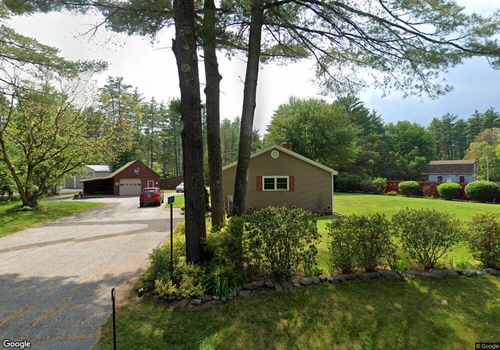
459 Hubbard Rd Berwick, ME 03901
Estimated Value: $394,090 - $436,000
2
Beds
2
Baths
1,372
Sq Ft
$302/Sq Ft
Est. Value
About This Home
This home is located at 459 Hubbard Rd, Berwick, ME 03901 and is currently estimated at $415,023, approximately $302 per square foot. 459 Hubbard Rd is a home located in York County with nearby schools including Noble High School.
Ownership History
Date
Name
Owned For
Owner Type
Purchase Details
Closed on
Nov 1, 2013
Sold by
Couture Leo C
Bought by
Moulton Robert S and Moulton Cheryl A
Current Estimated Value
Home Financials for this Owner
Home Financials are based on the most recent Mortgage that was taken out on this home.
Original Mortgage
$37,171
Outstanding Balance
$27,617
Interest Rate
4.52%
Mortgage Type
New Conventional
Estimated Equity
$387,406
Create a Home Valuation Report for This Property
The Home Valuation Report is an in-depth analysis detailing your home's value as well as a comparison with similar homes in the area
Home Values in the Area
Average Home Value in this Area
Purchase History
| Date | Buyer | Sale Price | Title Company |
|---|---|---|---|
| Moulton Robert S | -- | -- |
Source: Public Records
Mortgage History
| Date | Status | Borrower | Loan Amount |
|---|---|---|---|
| Open | Moulton Robert S | $37,171 |
Source: Public Records
Tax History
| Year | Tax Paid | Tax Assessment Tax Assessment Total Assessment is a certain percentage of the fair market value that is determined by local assessors to be the total taxable value of land and additions on the property. | Land | Improvement |
|---|---|---|---|---|
| 2025 | $4,451 | $341,300 | $98,100 | $243,200 |
| 2024 | $4,256 | $341,300 | $98,100 | $243,200 |
| 2023 | $3,563 | $194,500 | $69,900 | $124,600 |
| 2022 | $3,544 | $194,500 | $69,900 | $124,600 |
| 2021 | $3,084 | $193,500 | $69,900 | $123,600 |
| 2020 | $3,041 | $193,500 | $69,900 | $123,600 |
| 2019 | $3,392 | $193,500 | $69,900 | $123,600 |
| 2018 | $3,060 | $178,400 | $66,600 | $111,800 |
| 2017 | $3,060 | $178,400 | $66,600 | $111,800 |
| 2016 | $2,606 | $159,900 | $66,600 | $93,300 |
| 2014 | $2,542 | $159,900 | $66,600 | $93,300 |
| 2013 | $2,566 | $159,900 | $66,600 | $93,300 |
Source: Public Records
Map
Nearby Homes
- 153 Eagle Dr
- 27 Murray Dr
- 70 Diamondback Dr
- 88 Eagle Dr
- 79 Diamondback Dr
- 73 Diamondback Dr
- 72 Diamondback Dr
- 53 Diamondback Dr
- 46 Blair Dr
- 88 Big Bear Rd
- 10 York Ct
- 32 Mill St
- 11 Old Ryefield Rd
- 27 Highland St
- 9A Trestle Rd
- 0 Salmon Falls Rd Unit 133
- 859 Salmon Falls Rd
- 70 River Rd
- 46 Bailey Dr
- 67 Bailey Dr
Your Personal Tour Guide
Ask me questions while you tour the home.