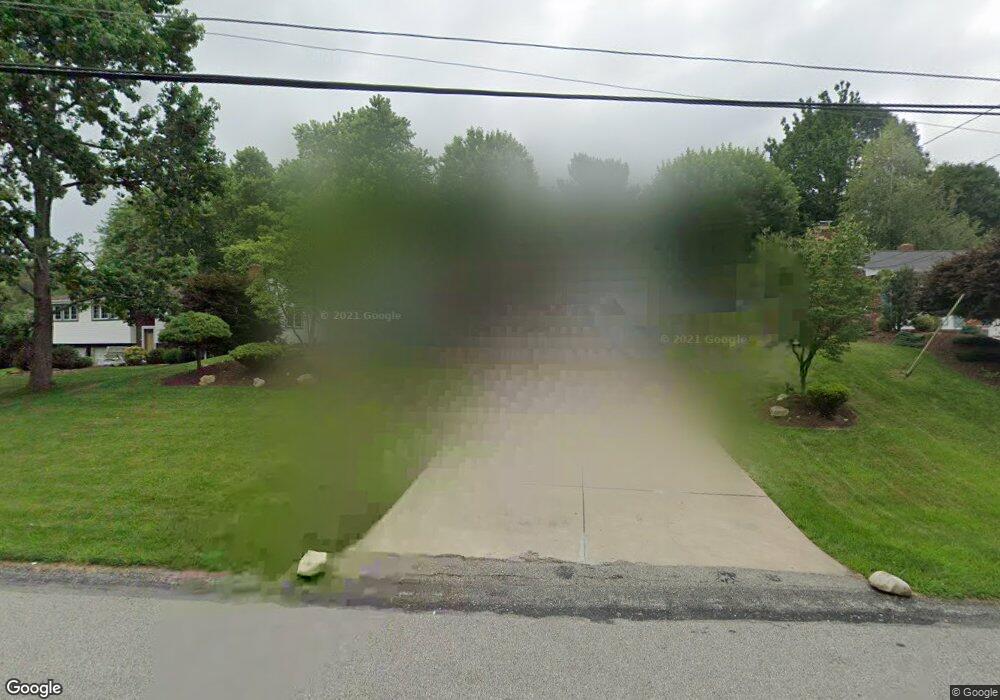
459 Lorlita Ln Bethel Park, PA 15102
Estimated Value: $294,964 - $347,000
3
Beds
2
Baths
1,508
Sq Ft
$212/Sq Ft
Est. Value
About This Home
This home is located at 459 Lorlita Ln, Bethel Park, PA 15102 and is currently estimated at $320,241, approximately $212 per square foot. 459 Lorlita Ln is a home located in Allegheny County with nearby schools including Upper St. Clair High School, St. Louise De Marillac School, and Cornerstone Christian Preparatory Academy Wilson Campus.
Ownership History
Date
Name
Owned For
Owner Type
Purchase Details
Closed on
May 14, 2009
Sold by
Leone Robin M
Bought by
Lauso Stephen J and Dennick-Ream,Carrie E
Current Estimated Value
Home Financials for this Owner
Home Financials are based on the most recent Mortgage that was taken out on this home.
Original Mortgage
$160,156
Outstanding Balance
$101,625
Interest Rate
4.93%
Mortgage Type
FHA
Estimated Equity
$218,616
Purchase Details
Closed on
Apr 24, 2006
Sold by
Franklin Douglas A
Bought by
Demers Peter G
Home Financials for this Owner
Home Financials are based on the most recent Mortgage that was taken out on this home.
Original Mortgage
$113,000
Interest Rate
6.4%
Mortgage Type
New Conventional
Purchase Details
Closed on
Oct 29, 1999
Sold by
Hassinger Wayne D and Hassinger Joyce P
Bought by
Franklin Douglas A and Franklin Julie A
Create a Home Valuation Report for This Property
The Home Valuation Report is an in-depth analysis detailing your home's value as well as a comparison with similar homes in the area
Home Values in the Area
Average Home Value in this Area
Purchase History
| Date | Buyer | Sale Price | Title Company |
|---|---|---|---|
| Lauso Stephen J | $169,250 | -- | |
| Demers Peter G | $161,500 | -- | |
| Franklin Douglas A | $134,000 | -- |
Source: Public Records
Mortgage History
| Date | Status | Borrower | Loan Amount |
|---|---|---|---|
| Open | Lauso Stephen J | $160,156 | |
| Previous Owner | Demers Peter G | $113,000 |
Source: Public Records
Tax History Compared to Growth
Tax History
| Year | Tax Paid | Tax Assessment Tax Assessment Total Assessment is a certain percentage of the fair market value that is determined by local assessors to be the total taxable value of land and additions on the property. | Land | Improvement |
|---|---|---|---|---|
| 2025 | $4,748 | $126,700 | $40,000 | $86,700 |
| 2024 | $4,748 | $144,700 | $40,000 | $104,700 |
| 2023 | $4,477 | $144,700 | $40,000 | $104,700 |
| 2022 | $4,346 | $144,700 | $40,000 | $104,700 |
| 2021 | $684 | $144,700 | $40,000 | $104,700 |
| 2020 | $4,125 | $144,700 | $40,000 | $104,700 |
| 2019 | $4,397 | $144,700 | $40,000 | $104,700 |
| 2018 | $684 | $144,700 | $40,000 | $104,700 |
| 2017 | $4,361 | $144,700 | $40,000 | $104,700 |
| 2016 | $684 | $144,700 | $40,000 | $104,700 |
| 2015 | $684 | $144,700 | $40,000 | $104,700 |
| 2014 | $4,266 | $144,700 | $40,000 | $104,700 |
Source: Public Records
Map
Nearby Homes
- 476 Oaklawn Dr
- 1069 Highfield Rd
- 1015 Highfield Rd
- 1124 Tidewood Dr
- 361 Southridge Dr
- 2597 Monterey Dr
- 115 (Lot 124) Fair Acres Dr
- 120 (Lot 106) Fair Acres Dr
- 309 (Lot 122) Red Oak Ln
- 304 Alamo Dr
- 321 Mcmurray Rd
- 311 Mcmurray Rd
- 596 Clifton Rd
- 421 Hays Rd
- 2725 Locust Dr
- 2626 Rossmoor Dr
- 400 Forest Estates Dr
- 0 Myrna Dr Unit 1712420
- 351 Middlegate Dr
- 2410 Willowbrook Rd