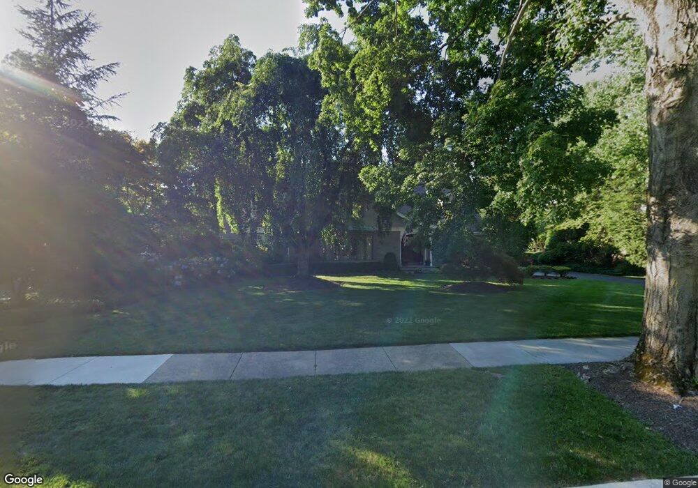
459 Loucroft Rd Haddonfield, NJ 08033
Estimated Value: $1,808,000 - $2,204,000
Studio
--
Bath
4,326
Sq Ft
$449/Sq Ft
Est. Value
About This Home
This home is located at 459 Loucroft Rd, Haddonfield, NJ 08033 and is currently estimated at $1,941,586, approximately $448 per square foot. 459 Loucroft Rd is a home located in Camden County with nearby schools including Haddonfield Memorial High School, Saint Rose of Lima Catholic School, and Brookfield Elementary School.
Ownership History
Date
Name
Owned For
Owner Type
Purchase Details
Closed on
Oct 10, 2007
Sold by
459 Loucroft Llc
Bought by
Mersky Jordan S and Nenderson Liesl A
Current Estimated Value
Home Financials for this Owner
Home Financials are based on the most recent Mortgage that was taken out on this home.
Original Mortgage
$300,000
Outstanding Balance
$190,221
Interest Rate
6.51%
Mortgage Type
New Conventional
Estimated Equity
$1,751,365
Purchase Details
Closed on
Jan 26, 2007
Sold by
Dugan Alan H
Bought by
459 Loucroft Rd Llc
Purchase Details
Closed on
May 14, 1999
Sold by
Rausch Nicholas J
Bought by
Dugan Alan H and Dugan Lynne H
Create a Home Valuation Report for This Property
The Home Valuation Report is an in-depth analysis detailing your home's value as well as a comparison with similar homes in the area
Home Values in the Area
Average Home Value in this Area
Purchase History
| Date | Buyer | Sale Price | Title Company |
|---|---|---|---|
| Mersky Jordan S | $999,000 | -- | |
| 459 Loucroft Rd Llc | $850,000 | -- | |
| Dugan Alan H | $550,000 | -- |
Source: Public Records
Mortgage History
| Date | Status | Borrower | Loan Amount |
|---|---|---|---|
| Open | Mersky Jordan S | $300,000 |
Source: Public Records
Tax History
| Year | Tax Paid | Tax Assessment Tax Assessment Total Assessment is a certain percentage of the fair market value that is determined by local assessors to be the total taxable value of land and additions on the property. | Land | Improvement |
|---|---|---|---|---|
| 2025 | $33,793 | $1,045,900 | $383,800 | $662,100 |
| 2024 | $33,343 | $1,045,900 | $383,800 | $662,100 |
| 2023 | $33,343 | $1,045,900 | $383,800 | $662,100 |
| 2022 | $33,082 | $1,045,900 | $383,800 | $662,100 |
| 2021 | $32,914 | $1,045,900 | $383,800 | $662,100 |
| 2020 | $32,684 | $1,045,900 | $383,800 | $662,100 |
| 2019 | $324 | $1,045,900 | $383,800 | $662,100 |
| 2018 | $32,036 | $1,045,900 | $383,800 | $662,100 |
| 2017 | $31,272 | $1,045,900 | $383,800 | $662,100 |
| 2016 | $30,572 | $1,045,900 | $383,800 | $662,100 |
| 2015 | $29,724 | $1,045,900 | $383,800 | $662,100 |
| 2014 | $29,066 | $1,045,900 | $383,800 | $662,100 |
Source: Public Records
Map
Nearby Homes
- 38 Birchall Dr
- 370 Station Ave
- 344 Knolltop Ln
- 233 E Kings Hwy
- 75 Birchall Dr
- 263 Hopkins Rd
- 741 W Redman Ave
- 100 3rd Ave
- 110 Avondale Ave
- 108 Avondale Ave
- 302 3rd Ave
- 103 White Horse Pike
- 109 W Euclid Ave
- 127 W Cottage Ave
- 133 Lafayette Rd
- 125 W Cottage Ave
- 112 W Atlantic Ave
- 33 Estaugh Ave
- 35 Estaugh Ave
- 425 White Horse Pike
- 465 Loucroft Rd
- 449 Loucroft Rd
- 479 Loucroft Rd
- 439 Loucroft Rd
- 456 Kings Hwy W
- 470 Kings Hwy W
- 460 Loucroft Rd
- 468 Loucroft Rd
- 450 Loucroft Rd
- 483 Loucroft Rd
- 440 Kings Hwy W
- 425 Loucroft Rd
- 474 Loucroft Rd
- 444 Loucroft Rd
- 410 Kings Hwy W
- 510 Kings Hwy W
- 434 Loucroft Rd
- 430 Kings Hwy W
- 480 Loucroft Rd
- 3 Loucroft Ave
Your Personal Tour Guide
Ask me questions while you tour the home.