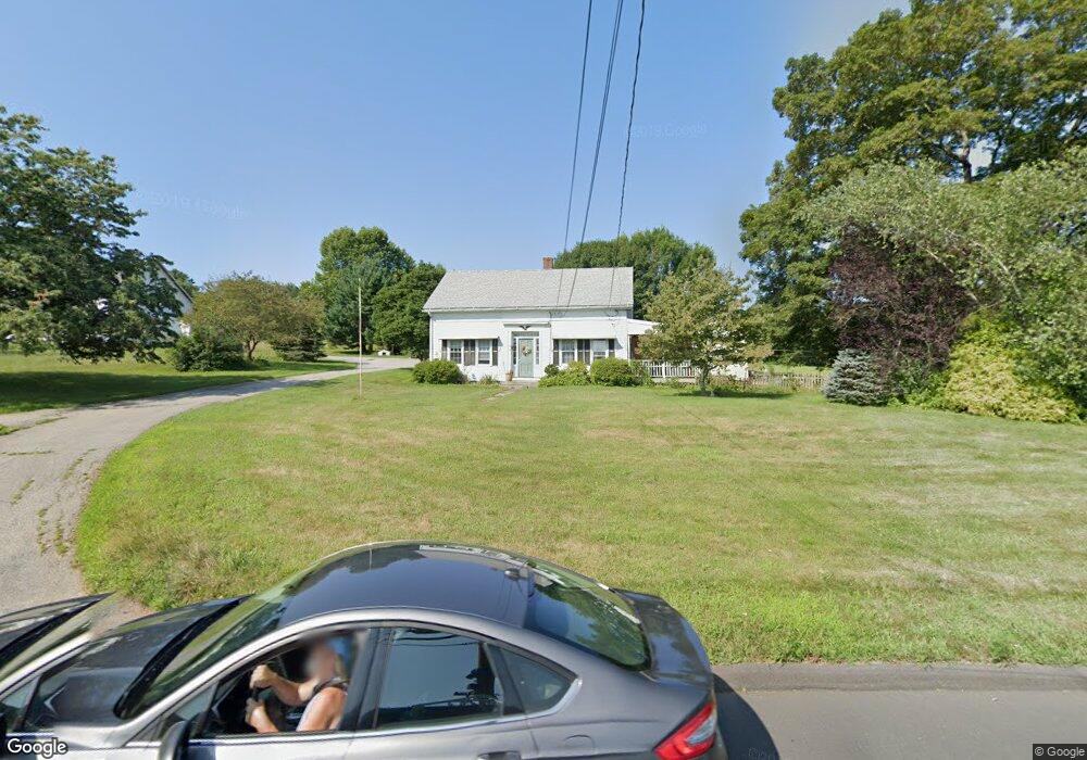
459 Mansfield City Rd Storrs Mansfield, CT 06268
Estimated Value: $298,000 - $489,000
4
Beds
2
Baths
2,099
Sq Ft
$185/Sq Ft
Est. Value
About This Home
This home is located at 459 Mansfield City Rd, Storrs Mansfield, CT 06268 and is currently estimated at $388,876, approximately $185 per square foot. 459 Mansfield City Rd is a home located in Tolland County with nearby schools including Annie E. Vinton School, Mansfield Elementary School, and Mansfield Middle School.
Ownership History
Date
Name
Owned For
Owner Type
Purchase Details
Closed on
Sep 4, 2007
Sold by
Martin Russell W
Bought by
Stearns Arthur B and Stearns Kathleen W
Current Estimated Value
Purchase Details
Closed on
Jul 10, 1997
Sold by
Slate Allan
Bought by
Stearns Arthur and Stearns Kathleen
Home Financials for this Owner
Home Financials are based on the most recent Mortgage that was taken out on this home.
Original Mortgage
$136,000
Interest Rate
7.86%
Mortgage Type
Unknown
Create a Home Valuation Report for This Property
The Home Valuation Report is an in-depth analysis detailing your home's value as well as a comparison with similar homes in the area
Home Values in the Area
Average Home Value in this Area
Purchase History
| Date | Buyer | Sale Price | Title Company |
|---|---|---|---|
| Stearns Arthur B | $170,000 | -- | |
| Stearns Arthur B | $170,000 | -- | |
| Stearns Arthur | $170,000 | -- | |
| Stearns Arthur | $170,000 | -- |
Source: Public Records
Mortgage History
| Date | Status | Borrower | Loan Amount |
|---|---|---|---|
| Previous Owner | Stearns Arthur | $38,000 | |
| Previous Owner | Stearns Arthur | $129,000 | |
| Previous Owner | Stearns Arthur | $136,000 |
Source: Public Records
Tax History Compared to Growth
Tax History
| Year | Tax Paid | Tax Assessment Tax Assessment Total Assessment is a certain percentage of the fair market value that is determined by local assessors to be the total taxable value of land and additions on the property. | Land | Improvement |
|---|---|---|---|---|
| 2025 | $5,484 | $274,200 | $64,400 | $209,800 |
| 2024 | $6,171 | $202,200 | $57,100 | $145,100 |
| 2023 | $6,373 | $202,200 | $57,100 | $145,100 |
| 2022 | $6,143 | $202,200 | $57,100 | $145,100 |
| 2021 | $6,345 | $202,200 | $57,100 | $145,100 |
| 2020 | $6,345 | $202,200 | $57,100 | $145,100 |
| 2019 | $6,289 | $200,400 | $57,100 | $143,300 |
| 2018 | $6,188 | $200,400 | $57,100 | $143,300 |
| 2017 | $6,138 | $200,400 | $57,100 | $143,300 |
| 2016 | $5,986 | $200,400 | $57,100 | $143,300 |
| 2015 | $5,986 | $200,400 | $57,100 | $143,300 |
| 2014 | $5,322 | $190,400 | $65,450 | $124,950 |
Source: Public Records
Map
Nearby Homes
- 0 Mansfield City Rd Unit LOT 2
- 58 Candide Ln
- 39 Jacobs Hill Rd
- 00 Sheffield Dr
- 76 Highland Rd
- 29 Wyllys Farm Rd
- 0 Oak Dr Unit LOT 33
- 2 Pequot Square Unit 2
- 1 Heritage Square Unit 1
- 30 Wyllys Farm Rd
- 23 Liberty Dr Unit 23
- 35 Wyllys Farm Rd
- 124 Spring Hill Rd
- 457 Stafford Rd
- 37 Wyllys Farm Rd
- 43 Wyllys Farm Rd
- 23 Circle Dr
- 31 Adeline Place
- 77 Woods Rd
- 31 Wyllys Farm Rd
- 440 Mansfield City Rd
- 435 Mansfield City Rd
- 484 Mansfield City Rd
- 516 Mansfield City Rd
- 519 Mansfield City Rd
- 538 Mansfield City Rd
- 546 Mansfield City Rd
- 144 Crane Hill Rd
- 22 Stearns Rd
- 0 Crane Hill Rd
- 2 Stearns Rd
- 0 Stearns Rd
- 140 Crane Hill Rd
- 275 Browns Rd
- 347 Browns Rd
- 124 Crane Hill Rd
- 487 Browns Rd
- 40 Stearns Rd
- 206 Crane Hill Rd
- 563 Mansfield City Rd