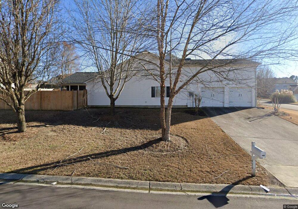
459 Moreland Cir Unit 132 Hiram, GA 30141
East Paulding County NeighborhoodEstimated Value: $345,000 - $384,000
3
Beds
2
Baths
2,003
Sq Ft
$180/Sq Ft
Est. Value
About This Home
This home is located at 459 Moreland Cir Unit 132, Hiram, GA 30141 and is currently estimated at $361,227, approximately $180 per square foot. 459 Moreland Cir Unit 132 is a home located in Paulding County with nearby schools including Mcgarity Elementary School, P. B. Ritch Middle School, and East Paulding High School.
Ownership History
Date
Name
Owned For
Owner Type
Purchase Details
Closed on
Feb 9, 2018
Sold by
Michael Tak
Bought by
Robertson Marcella A
Current Estimated Value
Home Financials for this Owner
Home Financials are based on the most recent Mortgage that was taken out on this home.
Original Mortgage
$169,750
Outstanding Balance
$143,763
Interest Rate
3.99%
Mortgage Type
New Conventional
Estimated Equity
$217,464
Purchase Details
Closed on
Jun 24, 2013
Sold by
Craig Gary R
Bought by
Tak Michael
Home Financials for this Owner
Home Financials are based on the most recent Mortgage that was taken out on this home.
Original Mortgage
$110,800
Interest Rate
3.59%
Mortgage Type
New Conventional
Create a Home Valuation Report for This Property
The Home Valuation Report is an in-depth analysis detailing your home's value as well as a comparison with similar homes in the area
Home Values in the Area
Average Home Value in this Area
Purchase History
| Date | Buyer | Sale Price | Title Company |
|---|---|---|---|
| Robertson Marcella A | $175,000 | -- | |
| Tak Michael | $138,500 | -- |
Source: Public Records
Mortgage History
| Date | Status | Borrower | Loan Amount |
|---|---|---|---|
| Open | Robertson Marcella A | $169,750 | |
| Previous Owner | Tak Michael | $110,800 |
Source: Public Records
Tax History Compared to Growth
Tax History
| Year | Tax Paid | Tax Assessment Tax Assessment Total Assessment is a certain percentage of the fair market value that is determined by local assessors to be the total taxable value of land and additions on the property. | Land | Improvement |
|---|---|---|---|---|
| 2024 | $3,666 | $150,596 | $12,000 | $138,596 |
| 2023 | $3,802 | $148,372 | $12,000 | $136,372 |
| 2022 | $3,170 | $123,468 | $12,000 | $111,468 |
| 2021 | $2,533 | $89,012 | $12,000 | $77,012 |
| 2020 | $2,460 | $84,680 | $12,000 | $72,680 |
| 2019 | $2,053 | $81,080 | $12,000 | $69,080 |
| 2018 | $2,261 | $76,920 | $12,000 | $64,920 |
| 2017 | $1,969 | $66,320 | $12,000 | $54,320 |
| 2016 | $1,609 | $55,076 | $12,000 | $43,076 |
| 2015 | $1,681 | $56,480 | $12,000 | $44,480 |
| 2014 | $1,624 | $51,440 | $12,000 | $39,440 |
| 2013 | -- | $30,920 | $10,000 | $20,920 |
Source: Public Records
Map
Nearby Homes
- 45 Waterloo Ct
- 334 Covington Dr
- 0 MacLand Rd Unit 10558702
- 258 Cristy Dr
- 17 Rackley Way
- 3529 MacLand Rd
- 184 Darbys Crossing Ct
- 119 English Barn Way
- 1083 Handy Rd
- 00 MacLand Rd
- 109 Darbys Crossing Ct
- 0B Hiram Acworth Hwy
- 0C Hiram Acworth Hwy
- 135 Powder Creek Dr
- 7 Hickory Branch
- 132 English Barn Way
- 4622 MacLand Rd
- 63 Aspen Way
- 142 English Barn Way
- 152 English Barn Way
- 459 Moreland Cir
- 180 Covington Dr
- 435 Moreland Cir
- 458 Moreland Cir
- 162 Covington Dr
- 411 Moreland Cir
- 15 Waterloo Ct
- 230 Covington Dr
- 438 Moreland Cir
- 35 Imperial Dr
- 16 Waterloo Ct
- 175 Covington Dr
- 15 Imperial Dr
- 399 Moreland Cir
- 414 Moreland Cir
- 157 Covington Dr
- 245 Covington Dr
- 47 Imperial Dr
- 242 Covington Dr
- 402 Moreland Cir