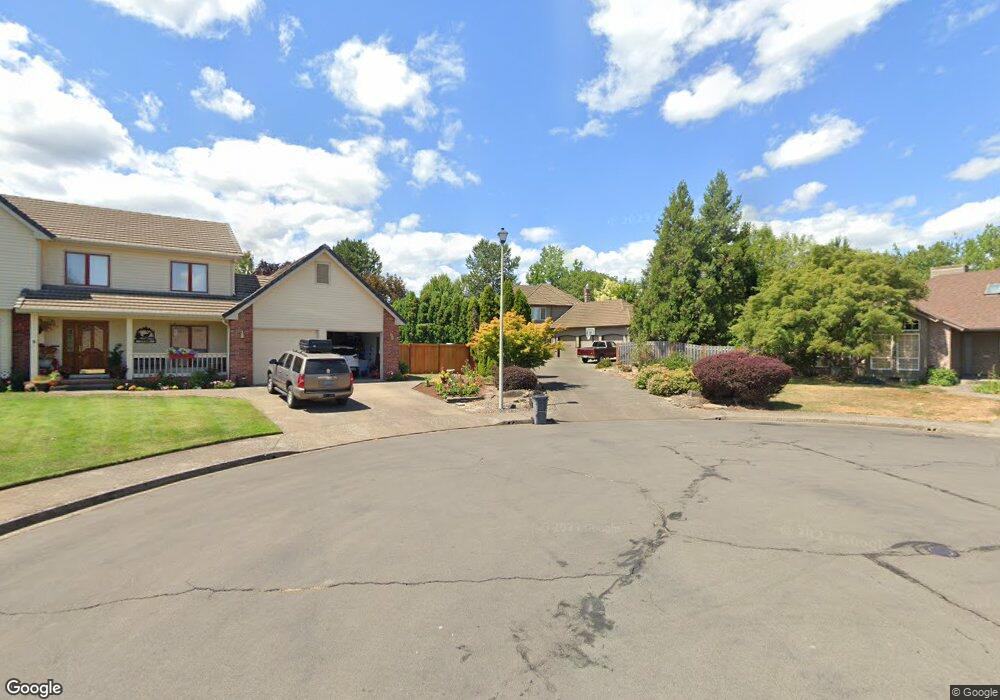
459 NW Meadowlark Ct McMinnville, OR 97128
Estimated Value: $619,000 - $720,000
3
Beds
3
Baths
2,356
Sq Ft
$287/Sq Ft
Est. Value
About This Home
This home is located at 459 NW Meadowlark Ct, McMinnville, OR 97128 and is currently estimated at $676,161, approximately $286 per square foot. 459 NW Meadowlark Ct is a home located in Yamhill County with nearby schools including Newby Elementary School, Duniway Middle School, and McMinnville High School.
Ownership History
Date
Name
Owned For
Owner Type
Purchase Details
Closed on
Sep 29, 2011
Sold by
Smith Ira T and Smith Frances J
Bought by
Franklin Daniel D and Franklin Carolyn A
Current Estimated Value
Home Financials for this Owner
Home Financials are based on the most recent Mortgage that was taken out on this home.
Original Mortgage
$248,150
Outstanding Balance
$170,467
Interest Rate
4.25%
Mortgage Type
New Conventional
Estimated Equity
$505,694
Create a Home Valuation Report for This Property
The Home Valuation Report is an in-depth analysis detailing your home's value as well as a comparison with similar homes in the area
Home Values in the Area
Average Home Value in this Area
Purchase History
| Date | Buyer | Sale Price | Title Company |
|---|---|---|---|
| Franklin Daniel D | $354,500 | First American Title |
Source: Public Records
Mortgage History
| Date | Status | Borrower | Loan Amount |
|---|---|---|---|
| Open | Franklin Daniel D | $248,150 |
Source: Public Records
Tax History Compared to Growth
Tax History
| Year | Tax Paid | Tax Assessment Tax Assessment Total Assessment is a certain percentage of the fair market value that is determined by local assessors to be the total taxable value of land and additions on the property. | Land | Improvement |
|---|---|---|---|---|
| 2024 | $6,116 | $351,904 | -- | -- |
| 2023 | $5,775 | $341,654 | $0 | $0 |
| 2022 | $5,471 | $331,703 | $0 | $0 |
| 2021 | $5,341 | $322,042 | $0 | $0 |
| 2020 | $5,299 | $312,662 | $0 | $0 |
| 2019 | $5,155 | $303,555 | $0 | $0 |
| 2018 | $5,053 | $294,714 | $0 | $0 |
| 2017 | $4,877 | $286,130 | $0 | $0 |
| 2016 | $4,702 | $277,796 | $0 | $0 |
| 2015 | $4,588 | $269,706 | $0 | $0 |
| 2014 | $4,340 | $261,852 | $0 | $0 |
Source: Public Records
Map
Nearby Homes
- 130 SW West Hills Dr
- 525 NW Hillcrest Loop
- 2317 SW Peggy St
- 197 SW Howard Dr
- 2598 NW Meadows Dr
- 2650 NW Mt Ashland Dr
- 2683 NW Mt Hood Dr
- 361 SW Howard Dr
- 295 SW Mount Saint Helens St
- 459 SW Howard Dr
- 348 SW Mt Rainier St
- 280 NW Country Ct
- 177 SW Mt Mazama St
- 398 SW Mt Mazama St
- 2805 NW Mount Ashland Ln
- 225 SW Valleys Edge St
- 11790 SW Fox Ridge Rd
- 1924 NW Wallace Rd
- 1276 NW Meadows Dr
- 2898 NW Mount Ashland Ln
- 437 NW Meadowlark Ct
- 455 NW Meadowlark Ct
- 452 NW Wintergreen Dr
- 2381 NW West Hills Dr
- 2355 NW West Hills Dr
- 407 NW Meadowlark Ct
- 452 NW Meadowlark Ct
- 436 SW Meadowlark
- 436 NW Meadowlark Ct
- 2364 NW Anthony Ct
- 408 NW Meadowlark Ct
- 2363 NW Quail Ct
- 2361 NW Anthony Ct
- 2407 NW West Hills Dr
- 2380 NW West Hills Dr
- 2269 NW Horizon Dr
- 575 NW Wintergreen Dr
- 2287 NW Horizon Dr
- 345 NW Meadowlark Way
- 2390 NW Anthony Ct