459 Old C and W Railway Rd Mount Solon, VA 22843
Estimated Value: $249,000 - $327,000
3
Beds
2
Baths
1,200
Sq Ft
$241/Sq Ft
Est. Value
About This Home
This home is located at 459 Old C and W Railway Rd, Mount Solon, VA 22843 and is currently estimated at $289,575, approximately $241 per square foot. 459 Old C and W Railway Rd is a home located in Augusta County with nearby schools including North River Elementary School, Beverley Manor Middle School, and Buffalo Gap High School.
Ownership History
Date
Name
Owned For
Owner Type
Purchase Details
Closed on
Sep 15, 2010
Sold by
Payne Cory J
Bought by
Payne Cory J and Payne Jennifer L
Current Estimated Value
Home Financials for this Owner
Home Financials are based on the most recent Mortgage that was taken out on this home.
Original Mortgage
$99,200
Interest Rate
4.12%
Mortgage Type
New Conventional
Create a Home Valuation Report for This Property
The Home Valuation Report is an in-depth analysis detailing your home's value as well as a comparison with similar homes in the area
Home Values in the Area
Average Home Value in this Area
Purchase History
| Date | Buyer | Sale Price | Title Company |
|---|---|---|---|
| Payne Cory J | -- | None Available |
Source: Public Records
Mortgage History
| Date | Status | Borrower | Loan Amount |
|---|---|---|---|
| Closed | Payne Cory J | $99,200 |
Source: Public Records
Tax History Compared to Growth
Tax History
| Year | Tax Paid | Tax Assessment Tax Assessment Total Assessment is a certain percentage of the fair market value that is determined by local assessors to be the total taxable value of land and additions on the property. | Land | Improvement |
|---|---|---|---|---|
| 2025 | $1,224 | $235,300 | $72,600 | $162,700 |
| 2024 | $856 | $238,500 | $72,600 | $165,900 |
| 2023 | $856 | $135,900 | $39,500 | $96,400 |
| 2022 | $856 | $135,900 | $39,500 | $96,400 |
| 2021 | $856 | $135,900 | $39,500 | $96,400 |
| 2020 | $856 | $135,900 | $39,500 | $96,400 |
| 2019 | $856 | $135,900 | $39,500 | $96,400 |
| 2018 | $795 | $126,174 | $39,500 | $86,674 |
| 2017 | $732 | $126,174 | $39,500 | $86,674 |
| 2016 | $732 | $126,174 | $39,500 | $86,674 |
| 2015 | $750 | $126,174 | $39,500 | $86,674 |
| 2014 | $750 | $126,174 | $39,500 | $86,674 |
| 2013 | $750 | $156,300 | $56,000 | $100,300 |
Source: Public Records
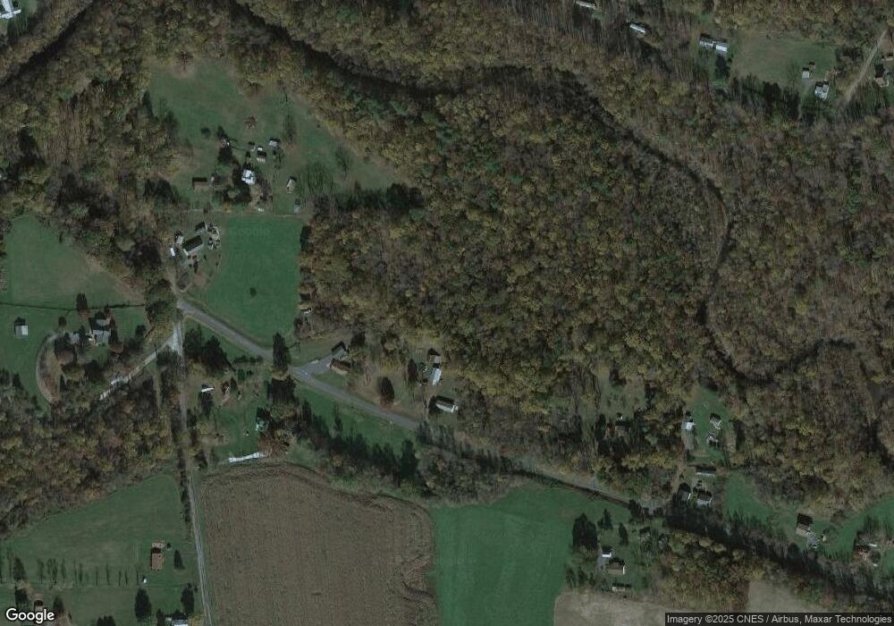
Map
Nearby Homes
- TBD Stribling Springs Rd
- 344 Freemason Run Rd
- Tbd Stribling Springs Rd
- 1003 Natural Chimneys Rd
- 1003 Natural Chimney Rd
- 8787 Thorny Branch Rd
- 347 Enterprise Rd
- 3 acres Mossy Creek Rd
- 3.39 acres Mossy Creek Rd
- 7842 Community Center Rd
- TBD Hankey Mountain Hwy
- 612 Dryden Rd
- 8016 Rebel Ln
- Rockford Plan at The Glen at Cooks Creek
- Heritage Plan at The Glen at Cooks Creek
- Ryder Plan at The Glen at Cooks Creek
- Archer Plan at The Glen at Cooks Creek
- 9108 Nazarene Church Rd
- 1526 Hankey Mountain Hwy
- 10909 Cook Town Rd
- 487 Old C and W Railway Rd
- 359 Stokesville Rd
- 413 Old C and W Railway Rd
- 413 Old C and W Railway Rd
- 400 Old C and W Railway Rd
- 398 Old C and W Railway Rd
- 393 Old C and W Railway Rd
- 385 Old C and W Railway Rd
- 3 Maggie Ln
- 42 Maggie Ln
- 338 Stokesville Rd
- 38 Maggie Ln
- 316 Stokesville Rd
- 22 Maggie Ln
- 398 Stokesville Rd
- 355 Old C and W Railway Rd
- 287 Stokesville Rd
- 296 Stokesville Rd
- 198 N River Rd
- 220 N River Rd