459 Ridgewood Dr Pendergrass, GA 30567
Estimated Value: $357,000 - $523,120
3
Beds
2
Baths
2,250
Sq Ft
$196/Sq Ft
Est. Value
About This Home
This home is located at 459 Ridgewood Dr, Pendergrass, GA 30567 and is currently estimated at $441,280, approximately $196 per square foot. 459 Ridgewood Dr is a home located in Jackson County with nearby schools including North Jackson Elementary School, West Jackson Middle School, and Jackson County High School.
Ownership History
Date
Name
Owned For
Owner Type
Purchase Details
Closed on
Jul 21, 2010
Sold by
Desmarais Lyne
Bought by
Yang Keng T
Current Estimated Value
Home Financials for this Owner
Home Financials are based on the most recent Mortgage that was taken out on this home.
Original Mortgage
$187,475
Outstanding Balance
$125,510
Interest Rate
4.87%
Mortgage Type
FHA
Estimated Equity
$315,770
Purchase Details
Closed on
Aug 6, 2003
Sold by
Hunsfeld Glen and Hunsfeld Jane
Bought by
Desmarais Lyne
Purchase Details
Closed on
Dec 29, 1998
Sold by
Scogin Worley E & Re
Bought by
Hunsfeld Glen and Hunsfeld Jane
Purchase Details
Closed on
Sep 13, 1996
Bought by
Scogin Worley E & Re
Create a Home Valuation Report for This Property
The Home Valuation Report is an in-depth analysis detailing your home's value as well as a comparison with similar homes in the area
Home Values in the Area
Average Home Value in this Area
Purchase History
| Date | Buyer | Sale Price | Title Company |
|---|---|---|---|
| Yang Keng T | $190,000 | -- | |
| Desmarais Lyne | $46,800 | -- | |
| Hunsfeld Glen | $102,600 | -- | |
| Scogin Worley E & Re | $51,000 | -- |
Source: Public Records
Mortgage History
| Date | Status | Borrower | Loan Amount |
|---|---|---|---|
| Open | Yang Keng T | $187,475 |
Source: Public Records
Tax History Compared to Growth
Tax History
| Year | Tax Paid | Tax Assessment Tax Assessment Total Assessment is a certain percentage of the fair market value that is determined by local assessors to be the total taxable value of land and additions on the property. | Land | Improvement |
|---|---|---|---|---|
| 2024 | $4,346 | $175,496 | $52,360 | $123,136 |
| 2023 | $4,346 | $162,536 | $52,360 | $110,176 |
| 2022 | $3,426 | $120,936 | $31,400 | $89,536 |
| 2021 | $3,065 | $107,456 | $17,920 | $89,536 |
| 2020 | $2,894 | $92,496 | $17,920 | $74,576 |
| 2019 | $2,939 | $92,496 | $17,920 | $74,576 |
| 2018 | $2,870 | $89,068 | $17,920 | $71,148 |
| 2017 | $2,815 | $85,932 | $17,952 | $67,980 |
| 2016 | $2,560 | $77,704 | $9,724 | $67,980 |
| 2015 | $2,571 | $77,704 | $9,724 | $67,980 |
| 2014 | $1,886 | $56,568 | $9,724 | $46,844 |
| 2013 | -- | $56,568 | $9,724 | $46,844 |
Source: Public Records
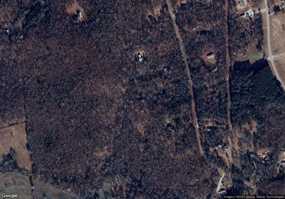
Map
Nearby Homes
- 412 Emily Forest Way
- 0 Holly Springs Rd Unit 7650967
- 0 Holly Springs Rd Unit 7650957
- 0 Holly Springs Rd Unit 10532102
- 0 Holly Springs Rd Unit 10532084
- 0 Holly Springs Rd Unit 7574834
- 0 Holly Springs Rd Unit 10516561
- 4394 Holly Springs Rd
- 2821 Hog Mountain Rd
- 0 Wayne Poultry Rd Unit 10529366
- 454 Primrose Ln
- 596 Pinetree Cir
- 599 Primrose Ln
- 2144 Hog Mountain Rd
- 309 Mulberry Creek Ct
- 0 Holly Springs Rd Unit 10571613
- 545 Jefferson Blvd
- 1992 Storey Ln
- 531 Ridgewood Dr
- 415 Ridgewood Dr
- 589 Ridgewood Dr
- 68 Ridgewood Dr
- 52 Ridgewood Dr
- 65 Ridgewood Dr
- 147 Pine Way Ln
- 0 Pine Way Ln
- Lot 52 Ridgewood Dr
- Lot 65 Ridgewood Dr
- 386 Ridgewood Dr
- 647 Ridgewood Dr
- 96 Pine Way Ln
- 594 Ridgewood Dr
- 24 Pine Way Ln
- 273 Ridgewood Dr
- 332 Ridgewood Dr
- 646 Ridgewood Dr
- 690 Ridgewood Dr
- 263 Ridgewood Dr