459 Rudeseal Rd Mount Airy, GA 30563
Estimated Value: $190,000 - $237,000
2
Beds
2
Baths
1,080
Sq Ft
$199/Sq Ft
Est. Value
About This Home
This home is located at 459 Rudeseal Rd, Mount Airy, GA 30563 and is currently estimated at $214,469, approximately $198 per square foot. 459 Rudeseal Rd is a home located in Habersham County with nearby schools including Demorest Elementary School, Habersham Success Academy, and Wilbanks Middle School.
Ownership History
Date
Name
Owned For
Owner Type
Purchase Details
Closed on
Feb 16, 2024
Sold by
Robertson Rachel Tench
Bought by
Tench Alan Theodore and Tench Elizabeth Faith
Current Estimated Value
Purchase Details
Closed on
Jan 23, 2020
Sold by
Tench Elois Franklin Estate
Bought by
Robertson Rachel Tench
Purchase Details
Closed on
Apr 1, 2007
Sold by
Not Provided
Bought by
Tench Elois Franklin
Create a Home Valuation Report for This Property
The Home Valuation Report is an in-depth analysis detailing your home's value as well as a comparison with similar homes in the area
Home Values in the Area
Average Home Value in this Area
Purchase History
| Date | Buyer | Sale Price | Title Company |
|---|---|---|---|
| Tench Alan Theodore | $160,000 | -- | |
| Robertson Rachel Tench | -- | -- | |
| Tench Elois Franklin | -- | -- |
Source: Public Records
Tax History Compared to Growth
Tax History
| Year | Tax Paid | Tax Assessment Tax Assessment Total Assessment is a certain percentage of the fair market value that is determined by local assessors to be the total taxable value of land and additions on the property. | Land | Improvement |
|---|---|---|---|---|
| 2025 | $1,256 | $69,431 | $36,960 | $32,471 |
| 2024 | $1,675 | $64,536 | $17,400 | $47,136 |
| 2023 | $1,415 | $56,612 | $17,400 | $39,212 |
| 2022 | $1,333 | $51,120 | $17,400 | $33,720 |
| 2021 | $1,200 | $46,228 | $15,952 | $30,276 |
| 2020 | $1,133 | $42,120 | $15,952 | $26,168 |
| 2019 | $1,134 | $42,120 | $15,952 | $26,168 |
| 2018 | $437 | $42,120 | $15,952 | $26,168 |
| 2017 | $0 | $40,064 | $15,952 | $24,112 |
| 2016 | $351 | $100,160 | $15,952 | $24,112 |
| 2015 | -- | $100,160 | $15,952 | $24,112 |
| 2014 | $339 | $99,110 | $15,952 | $23,692 |
| 2013 | -- | $39,644 | $15,952 | $23,692 |
Source: Public Records
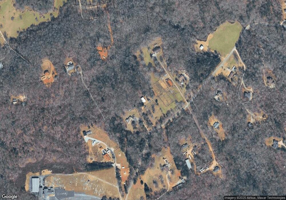
Map
Nearby Homes
- 1116 Cody Rd
- 309 Morning Star Ln
- 1605 Cody Rd
- 0 N Highway 365 Unit 10006830
- 849 Blacksnake Rd
- 222 N Mize Rd
- 268 Northwoods Dr
- 336 Dixie Ct
- 115 Northridge Dr
- 473 Linwood Dr
- 161 Wayward Winds Dr
- 799 Sweetgrass Dr
- 136 Sweetgrass Dr
- 110 Waterloo Dr
- 1831 Bermuda Ave
- 1734 Rabbit Brush Dr
- 1126 Sydney Ln
- 1132 Sydney Ln
- 815 Sweetgrass Ct
- 167 Bridgewater Dr
- 419 Rudeseal Rd
- 627 Rudeseal Rd
- 541 Rudeseal Rd
- 538 Rudeseal Rd
- 289 Rudeseal Rd
- 320 Rudeseal Rd
- 283 Rudeseal Rd
- 670 Rudeseal Rd
- 630 Rudeseal Rd
- 695 Rudeseal Rd
- 399 Rudeseal Rd
- 698 Rudeseal Rd
- 544 Rudeseal Rd
- 516 Glenbrook Dr
- 708 Rudeseal Rd
- 217 Rudeseal Rd
- 214 Rudeseal Rd
- 514 Glenbrook Dr
- 711 Cody Rd
- 243 Hazel Creek Church Rd