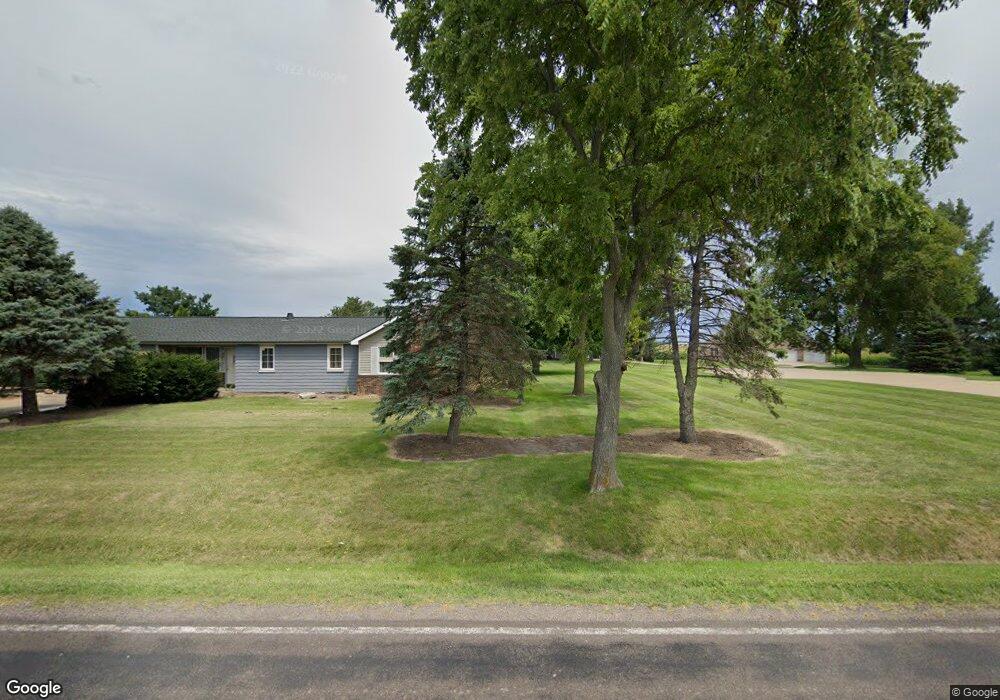
459 W Queenwood Rd Morton, IL 61550
Estimated Value: $429,000 - $522,000
3
Beds
3
Baths
2,964
Sq Ft
$161/Sq Ft
Est. Value
About This Home
This home is located at 459 W Queenwood Rd, Morton, IL 61550 and is currently estimated at $477,624, approximately $161 per square foot. 459 W Queenwood Rd is a home located in Tazewell County with nearby schools including Morton High School, Bethel Lutheran School, and Blessed Sacrament School.
Ownership History
Date
Name
Owned For
Owner Type
Purchase Details
Closed on
Apr 4, 2005
Sold by
Irvin Robert C
Bought by
Schmidgall Timothy L and Schmidgall Paula M
Current Estimated Value
Home Financials for this Owner
Home Financials are based on the most recent Mortgage that was taken out on this home.
Original Mortgage
$160,000
Outstanding Balance
$81,815
Interest Rate
5.64%
Mortgage Type
New Conventional
Estimated Equity
$395,809
Create a Home Valuation Report for This Property
The Home Valuation Report is an in-depth analysis detailing your home's value as well as a comparison with similar homes in the area
Home Values in the Area
Average Home Value in this Area
Purchase History
| Date | Buyer | Sale Price | Title Company |
|---|---|---|---|
| Schmidgall Timothy L | $28,000 | -- |
Source: Public Records
Mortgage History
| Date | Status | Borrower | Loan Amount |
|---|---|---|---|
| Open | Schmidgall Timothy L | $160,000 |
Source: Public Records
Tax History Compared to Growth
Tax History
| Year | Tax Paid | Tax Assessment Tax Assessment Total Assessment is a certain percentage of the fair market value that is determined by local assessors to be the total taxable value of land and additions on the property. | Land | Improvement |
|---|---|---|---|---|
| 2024 | $9,853 | $150,660 | $20,010 | $130,650 |
| 2023 | $9,853 | $140,360 | $18,640 | $121,720 |
| 2022 | $9,491 | $128,900 | $17,120 | $111,780 |
| 2021 | $9,111 | $123,940 | $16,460 | $107,480 |
| 2020 | $8,828 | $122,720 | $16,300 | $106,420 |
| 2019 | $8,805 | $122,720 | $16,300 | $106,420 |
| 2018 | $8,643 | $122,720 | $16,300 | $106,420 |
| 2017 | $8,420 | $108,290 | $14,380 | $93,910 |
| 2016 | $8,254 | $108,290 | $14,380 | $93,910 |
| 2015 | $7,953 | $0 | $0 | $0 |
| 2013 | $7,872 | $108,290 | $14,380 | $93,910 |
Source: Public Records
Map
Nearby Homes
- 2100 S 2nd Ave Unit 2100
- 2020 S 2nd Ave Unit 2020
- 749 S Columbus Ave
- 1220 S Main St
- 50 Brooke Cir Unit 50
- 600 S Columbus Ave
- 210 E Crestwood St
- 384 E Maywood St
- 504 S Glen Ave
- 329 S Nelson Ave
- 315 E Birchwood St
- 118 S Liberty Ave
- 115 S Liberty Ave
- 5859 Broadway Rd
- 5559 Broadway Rd
- 507 E Adams St
- 407 E Jefferson St
- 19314 Springfield Rd
- 1156 Brentwood Rd
- 324 S Kansas Ave
- 453 W Queenwood Rd
- 465 W Queenwood Rd
- 447 W Queenwood Rd
- 430 W Queenwood Rd
- 505 W Queenwood Rd
- 18657 Unsicker Rd
- 18533 Unsicker Rd
- 350 W Queenwood Rd
- 18261 Unsicker Rd
- 300 W Queenwood Rd
- 18775 Unsicker Rd
- 19050 Unsicker Rd
- 18225 Unsicker Rd
- 0 E Queenwood Rd Unit 5479932
- 0 E Queenwood Rd
- 17901 Unsicker Rd
- 17810 Unsicker Rd
- 17971 Unsicker Rd
- 151 Dufelmeier Rd
- 5953 E Queenwood Rd