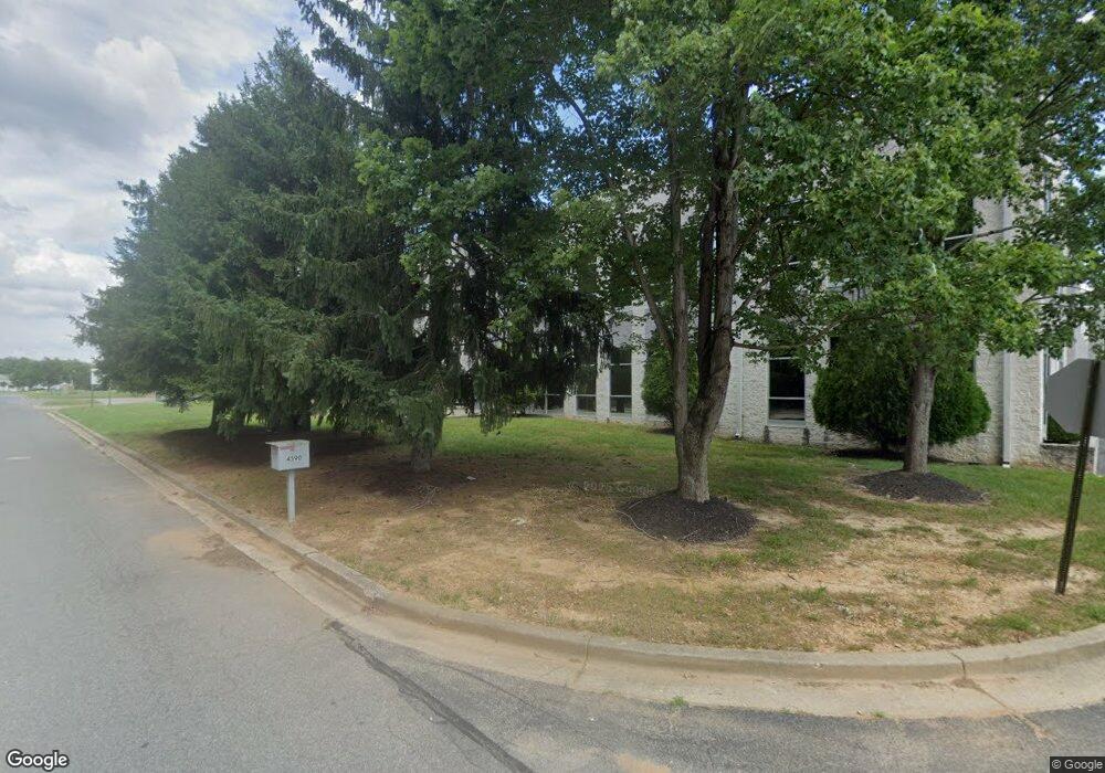
4590 Graphics Dr White Plains, MD 20695
--
Bed
--
Bath
103,000
Sq Ft
5.38
Acres
About This Home
This home is located at 4590 Graphics Dr, White Plains, MD 20695. 4590 Graphics Dr is a home located in Charles County with nearby schools including Mary B. Neal Elementary School, Milton M. Somers Middle School, and St. Charles High School.
Ownership History
Date
Name
Owned For
Owner Type
Purchase Details
Closed on
Aug 21, 1990
Sold by
French Frank B and French Rachel B
Bought by
Demarr Partnership
Home Financials for this Owner
Home Financials are based on the most recent Mortgage that was taken out on this home.
Original Mortgage
$2,700,000
Interest Rate
10.05%
Create a Home Valuation Report for This Property
The Home Valuation Report is an in-depth analysis detailing your home's value as well as a comparison with similar homes in the area
Home Values in the Area
Average Home Value in this Area
Purchase History
| Date | Buyer | Sale Price | Title Company |
|---|---|---|---|
| Demarr Partnership | $2,760,000 | -- |
Source: Public Records
Mortgage History
| Date | Status | Borrower | Loan Amount |
|---|---|---|---|
| Closed | Demarr Partnership | $2,700,000 |
Source: Public Records
Tax History Compared to Growth
Tax History
| Year | Tax Paid | Tax Assessment Tax Assessment Total Assessment is a certain percentage of the fair market value that is determined by local assessors to be the total taxable value of land and additions on the property. | Land | Improvement |
|---|---|---|---|---|
| 2025 | $123,637 | $9,360,833 | -- | -- |
| 2024 | $108,541 | $8,237,000 | $669,900 | $7,567,100 |
| 2023 | $117,448 | $8,218,867 | $0 | $0 |
| 2022 | $108,271 | $8,200,733 | $0 | $0 |
| 2021 | $103,727 | $8,182,600 | $669,900 | $7,512,700 |
| 2020 | $103,727 | $7,859,600 | $0 | $0 |
| 2019 | $100,778 | $7,536,600 | $0 | $0 |
| 2018 | $95,322 | $7,213,600 | $669,900 | $6,543,700 |
| 2017 | $92,667 | $7,016,333 | $0 | $0 |
| 2016 | -- | $6,819,067 | $0 | $0 |
| 2015 | $67,459 | $6,621,800 | $0 | $0 |
| 2014 | $67,459 | $6,347,233 | $0 | $0 |
Source: Public Records
Map
Nearby Homes
- 10918 Timothy Ct
- 10691 Millport St
- 4340 Crain Hwy
- 11117 Commanders Ln
- 4683 Diamond Ridge Ln
- 712 University Dr
- 10526 Willetts Crossing Rd
- 10664 Deacon Rd
- 4909 Keswick Ct
- 4930 Shoal Creek Ln
- 10701 Millport St
- Lot 13 Billingsley Rd
- Lot 14 Billingsley Rd
- 749 University Dr
- 9 Wicklow Ct
- 531 Garner Ave
- 15 Cardigan Ct
- 610 University Dr
- 5 Redcar Ct
- 4586 Scottsdale Place
- 10304 Sequoia Way
- 4560 Graphics Dr
- 0 Graphics Dr Unit 1006786222
- 0 Graphics Dr Unit 1006720440
- 0 Graphics Dr Unit CH7377188
- 0 Graphics Dr Unit CH7505980
- 4585 Graphics Dr
- 4665 Olga Place
- 4565 Graphics Dr
- 4550 Graphics Dr
- 10882 Demarr Rd
- 4659 Olga Place
- 4555 Graphics Dr
- 4540 Graphics Dr Unit C, D , E
- 4540 Graphics Dr
- 10885 Demarr Rd
- 4530 Graphics Dr
- 4681 Duley Dr
- 4685 Duley Dr
- 10904 Demarr Rd