Estimated Value: $100,000 - $176,000
About This Home
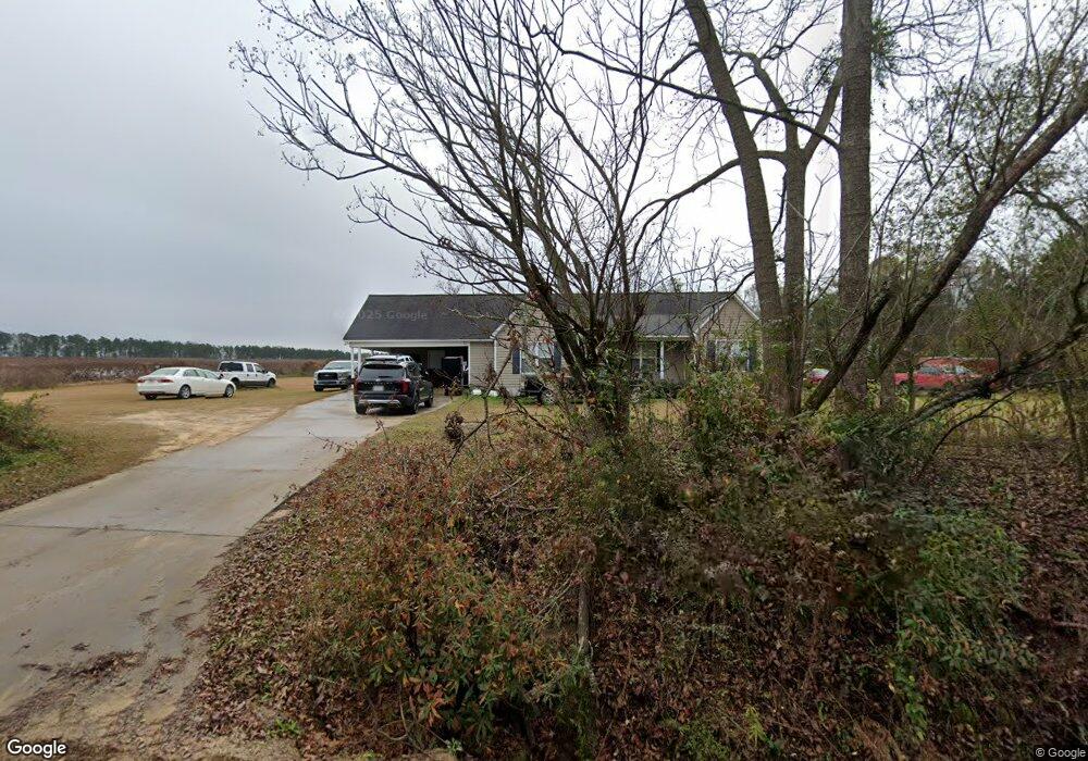
This home is located at 4591 High Rocks Rd, Pitts, GA 31072 and is currently estimated at $151,319, approximately $102 per square foot. 4591 High Rocks Rd is a home located in Wilcox County with nearby schools including Wilcox County Elementary School, Wilcox County Middle School, and Wilcox County High School.
Ownership History
We collect this data history from publicly available records. To have your information removed, we recommend requesting removal directly through your county’s website.
Purchase Details
Home Financials for this Owner
Home Financials are based on the most recent Mortgage that was taken out on this home.Purchase Details
Purchase Details
Purchase History
We collect this data history from publicly available records. To have your information removed, we recommend requesting removal directly through your county’s website.
| Date | Buyer | Sale Price | Title Company |
|---|---|---|---|
| $107,700 | -- | ||
| -- | -- | ||
| $3,000 | -- |
Mortgage History
We collect this data history from publicly available records. To have your information removed, we recommend requesting removal directly through your county’s website.
| Date | Status | Borrower | Loan Amount |
|---|---|---|---|
| Open | $107,700 |
Tax History
We collect this data history from publicly available records. To have your information removed, we recommend requesting removal directly through your county’s website.
| Year | Tax Paid | Tax Assessment Tax Assessment Total Assessment is a certain percentage of the fair market value that is determined by local assessors to be the total taxable value of land and additions on the property. | Land | Improvement |
|---|---|---|---|---|
| 2025 | $1,550 | $62,910 | $1,650 | $61,260 |
| 2024 | $1,644 | $55,926 | $1,100 | $54,826 |
| 2023 | $1,307 | $44,338 | $1,100 | $43,238 |
| 2022 | $1,308 | $44,338 | $1,100 | $43,238 |
| 2021 | $1,307 | $44,338 | $1,100 | $43,238 |
| 2020 | $1,200 | $38,015 | $1,215 | $36,800 |
| 2019 | $1,200 | $38,015 | $1,215 | $36,800 |
| 2018 | $1,200 | $38,015 | $1,215 | $36,800 |
| 2017 | $1,221 | $38,615 | $1,215 | $37,400 |
| 2016 | -- | $38,615 | $1,215 | $37,400 |
| 2015 | -- | $38,615 | $1,215 | $37,400 |
| 2014 | -- | $38,615 | $1,215 | $37,400 |
| 2013 | -- | $38,615 | $1,215 | $37,400 |
Map
- Griffin Rd
- 0 Backwoods Rd
- 1962 Tremont Rd
- 0 Powell Rd Tract 1 Rd
- 16540 Ga Highway 112
- 847 Dockweiler Rd N
- 107 10th St
- 0 Powell Rd Tract 2 Unit 10678971
- 000 Brady Rd
- 8166 Georgia 215
- 0 Lois Rd
- 800 Listonia Rd
- 0 Holly Ln
- 9782 Georgia 112
- 1 Acre Cannonville Rd
- 337 Friendship Church Rd
- 4065 Gordon Rd
- 2.8 +/- ACRES Pineway Hwy
- Lot 47 Bellflower Dr
- 0 Tippettville Rd
- 4540 High Rocks Rd
- 396 Hope Rd
- 450 Hope Rd
- 425 Hope Rd
- 256 Hope Rd
- 4929 Pearce Rd
- 4973 High Rocks Rd
- 150 Hope Rd
- 5180 High Rocks Rd
- 5129 Pearce Rd
- 5129 Pearce Rd
- 5079 High Rocks Rd
- 281 Thompson Rd
- 5145 High Rocks Rd
- 4190 Pearce Rd
- 227 Thompson Rd
- 6316 Ga Highway 215
- 6316 Ga Hwy 215
- 6316 Georgia 215
- 160 Thompson Rd
Ask me questions while you tour the home.