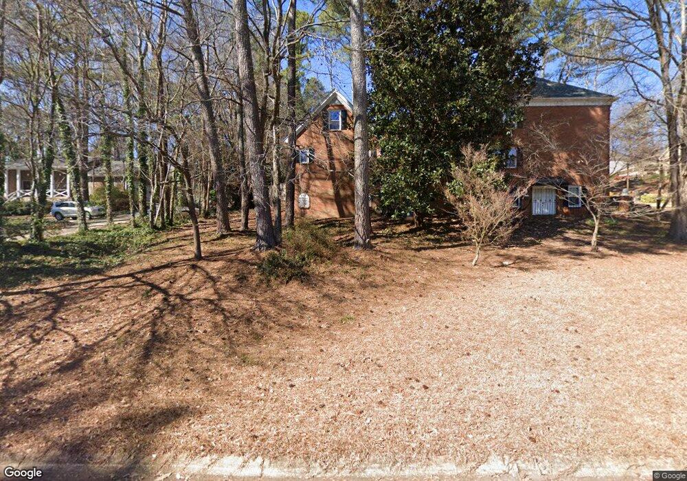
4591 Montauk Rd SW Unit 4 Lilburn, GA 30047
Estimated Value: $430,000 - $499,000
4
Beds
3
Baths
2,918
Sq Ft
$160/Sq Ft
Est. Value
About This Home
This home is located at 4591 Montauk Rd SW Unit 4, Lilburn, GA 30047 and is currently estimated at $467,629, approximately $160 per square foot. 4591 Montauk Rd SW Unit 4 is a home located in Gwinnett County with nearby schools including Knight Elementary School, Trickum Middle School, and Parkview High School.
Ownership History
Date
Name
Owned For
Owner Type
Purchase Details
Closed on
Jan 15, 1997
Sold by
Francis William Donna
Bought by
Simon Kunjannamma Saleeb
Current Estimated Value
Purchase Details
Closed on
Jul 28, 1995
Sold by
Gorrell Karl E Annette
Bought by
Francis William L Danna B
Create a Home Valuation Report for This Property
The Home Valuation Report is an in-depth analysis detailing your home's value as well as a comparison with similar homes in the area
Home Values in the Area
Average Home Value in this Area
Purchase History
| Date | Buyer | Sale Price | Title Company |
|---|---|---|---|
| Simon Kunjannamma Saleeb | $184,000 | -- | |
| Francis William L Danna B | $182,400 | -- |
Source: Public Records
Mortgage History
| Date | Status | Borrower | Loan Amount |
|---|---|---|---|
| Closed | Francis William L Danna B | $0 |
Source: Public Records
Tax History Compared to Growth
Tax History
| Year | Tax Paid | Tax Assessment Tax Assessment Total Assessment is a certain percentage of the fair market value that is determined by local assessors to be the total taxable value of land and additions on the property. | Land | Improvement |
|---|---|---|---|---|
| 2025 | $5,365 | $230,440 | $30,000 | $200,440 |
| 2024 | $4,180 | $164,840 | $30,000 | $134,840 |
| 2023 | $4,180 | $183,560 | $25,200 | $158,360 |
| 2022 | $4,348 | $173,360 | $25,200 | $148,160 |
| 2021 | $3,268 | $117,200 | $25,200 | $92,000 |
| 2020 | $3,982 | $117,200 | $25,200 | $92,000 |
| 2019 | $3,972 | $117,200 | $25,200 | $92,000 |
| 2018 | $3,987 | $117,200 | $25,200 | $92,000 |
| 2016 | $3,735 | $106,560 | $20,400 | $86,160 |
| 2015 | $3,766 | $106,560 | $20,400 | $86,160 |
| 2014 | -- | $95,280 | $20,400 | $74,880 |
Source: Public Records
Map
Nearby Homes
- 4740 Nantucket Dr SW
- 4627 Nantucket Dr SW
- 4151 Tillrock Ln
- 4171 Tillrock Ln
- 4191 Tillrock Ln
- 4131 Tillrock Ln
- The Tyndall Plan at Annsbury Park
- The Maisie II Plan at Annsbury Park
- The Sadler Plan at Annsbury Park
- The Talbot Plan at Annsbury Park
- The Idlewild Plan at Annsbury Park
- 147 Railroad Ave NW
- 4909 Woodfall Dr SW
- 146 King David Dr SW
- 4160 Tillrock Ln
- 4181 Tillrock Ln
- 217 Sandra Dr NW Unit 4
- 219 Poplar St NW
- 4879 Joy Ln SW
- 237 Sandra Dr NW
- 4581 Montauk Rd SW
- 4639 Montauk Rd SW
- 0 Montauk Rd SW Unit 8568059
- 0 Montauk Rd SW Unit 3222053
- 0 Montauk Rd SW Unit 8182822
- 0 Montauk Rd SW Unit 7476765
- 0 Montauk Rd SW Unit 8044308
- 0 Montauk Rd SW Unit 8069626
- 0 Montauk Rd SW Unit 8132047
- 0 Montauk Rd SW
- 4592 Montauk Rd SW
- 4602 Montauk Rd SW
- 4632 Montauk Rd SW Unit 4632
- 4632 Montauk Rd SW
- 4649 Montauk Rd SW
- 4670 Bryson Cove SW Unit 4
- 4571 Montauk Rd SW Unit 19
- 4571 Montauk Rd SW
- 4582 Montauk Rd SW Unit 4
- 4622 Montauk Rd SW