4592 Paxton Rd Saint Johns, MI 48879
Estimated Value: $227,000 - $368,000
3
Beds
2
Baths
2,568
Sq Ft
$113/Sq Ft
Est. Value
About This Home
This home is located at 4592 Paxton Rd, Saint Johns, MI 48879 and is currently estimated at $289,953, approximately $112 per square foot. 4592 Paxton Rd is a home located in Clinton County with nearby schools including St. Johns High School.
Ownership History
Date
Name
Owned For
Owner Type
Purchase Details
Closed on
Jul 17, 2015
Sold by
Ward Robert M
Bought by
Ward Robert M and Ward Talon Joseph
Current Estimated Value
Purchase Details
Closed on
Apr 5, 2007
Sold by
Nadeau Eloisa and Nadeau Terry
Bought by
Fv-1 Inc
Purchase Details
Closed on
Jun 28, 2006
Sold by
Motz Timothy R and Motz Cheryl K
Bought by
Nadeau Eloisa
Home Financials for this Owner
Home Financials are based on the most recent Mortgage that was taken out on this home.
Original Mortgage
$120,000
Interest Rate
8.44%
Mortgage Type
Purchase Money Mortgage
Purchase Details
Closed on
Jun 20, 2005
Sold by
Horan Gerald F and Horan Patricia A
Bought by
Motz Timothy R and Motz Cheryl K
Home Financials for this Owner
Home Financials are based on the most recent Mortgage that was taken out on this home.
Original Mortgage
$416,000
Interest Rate
5.87%
Mortgage Type
Fannie Mae Freddie Mac
Create a Home Valuation Report for This Property
The Home Valuation Report is an in-depth analysis detailing your home's value as well as a comparison with similar homes in the area
Home Values in the Area
Average Home Value in this Area
Purchase History
| Date | Buyer | Sale Price | Title Company |
|---|---|---|---|
| Ward Robert M | -- | Attorney | |
| Fv-1 Inc | $112,200 | None Available | |
| Nadeau Eloisa | $150,000 | None Available | |
| Motz Timothy R | $400,000 | -- |
Source: Public Records
Mortgage History
| Date | Status | Borrower | Loan Amount |
|---|---|---|---|
| Previous Owner | Nadeau Eloisa | $120,000 | |
| Previous Owner | Motz Timothy R | $416,000 |
Source: Public Records
Tax History Compared to Growth
Tax History
| Year | Tax Paid | Tax Assessment Tax Assessment Total Assessment is a certain percentage of the fair market value that is determined by local assessors to be the total taxable value of land and additions on the property. | Land | Improvement |
|---|---|---|---|---|
| 2025 | $765 | $82,500 | $14,700 | $67,800 |
| 2024 | $343 | $76,300 | $11,800 | $64,500 |
| 2023 | $325 | $69,200 | $0 | $0 |
| 2022 | $692 | $64,000 | $10,600 | $53,400 |
| 2021 | $672 | $58,500 | $9,500 | $49,000 |
| 2020 | $652 | $51,300 | $8,500 | $42,800 |
| 2019 | $620 | $44,700 | $8,000 | $36,700 |
| 2015 | -- | $27,800 | $0 | $0 |
| 2011 | -- | $42,500 | $0 | $0 |
Source: Public Records
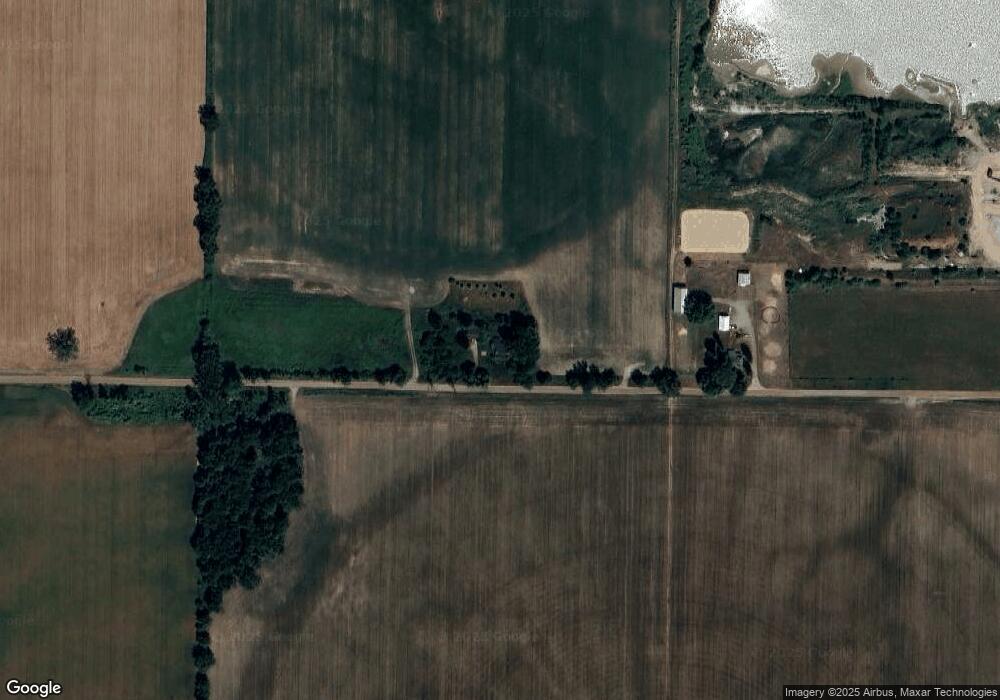
Map
Nearby Homes
- 5233 Paxton Rd
- 0 W Colony Unit 286993
- 5550 Paxton Rd
- 0 V/L W Colony Rd
- 4841 N Essex Center Rd
- 1630 W Kinley Rd
- 3445 W County Line Rd
- The Claire Plan at Fieldstone Village
- The Lilly Plan at Fieldstone Village
- 905 N Lansing St
- 606 W Gibbs St
- 608 N Morton St
- 505 Euclid St
- 823 N Lansing St
- 715 N Clinton Ave
- 800 W State St
- 812 W Cass St
- 1021 Randy Ln Unit 34
- 111 N Ottawa St
- 812 W Park St
- 4462 Paxton Rd
- 4960 Paxton Rd
- 4424 N Grove Rd
- 4237 Paxton Rd
- 4177 Paxton Rd
- 4125 Paxton Rd
- 4648 W Colony Rd
- 4253 N Grove Rd
- 4323 N Airport Rd
- 4425 N Airport Rd
- 4501 W Colony Rd
- 4655 W Colony Rd
- 4541 W Colony Rd
- 4677 W Colony Rd
- 4701 W Colony Rd
- 4733 W Colony Rd
- 4817 W Colony Rd
- 5129 N Mcneil Rd
- 4373 W Colony Rd
- 4343 N Airport Rd