4594 N Nichols Rd Mansfield, MO 65704
Estimated Value: $149,000 - $238,000
2
Beds
--
Bath
864
Sq Ft
$208/Sq Ft
Est. Value
About This Home
This home is located at 4594 N Nichols Rd, Mansfield, MO 65704 and is currently estimated at $180,024, approximately $208 per square foot. 4594 N Nichols Rd is a home with nearby schools including Wilder Elementary School, Mansfield Junior High School, and Mansfield High School.
Ownership History
Date
Name
Owned For
Owner Type
Purchase Details
Closed on
Nov 27, 2024
Sold by
Sampson Melissa D and Cantrell Michelle L
Bought by
Sampson Melissa D
Current Estimated Value
Home Financials for this Owner
Home Financials are based on the most recent Mortgage that was taken out on this home.
Original Mortgage
$80,000
Interest Rate
6.44%
Mortgage Type
New Conventional
Purchase Details
Closed on
Sep 6, 2022
Sold by
Napier Michael D
Bought by
Napier Michael D and Sampson Melissa D
Create a Home Valuation Report for This Property
The Home Valuation Report is an in-depth analysis detailing your home's value as well as a comparison with similar homes in the area
Home Values in the Area
Average Home Value in this Area
Purchase History
| Date | Buyer | Sale Price | Title Company |
|---|---|---|---|
| Sampson Melissa D | -- | None Listed On Document | |
| Sampson Melissa D | -- | None Listed On Document | |
| Napier Michael D | -- | None Listed On Document |
Source: Public Records
Mortgage History
| Date | Status | Borrower | Loan Amount |
|---|---|---|---|
| Previous Owner | Sampson Melissa D | $80,000 |
Source: Public Records
Tax History Compared to Growth
Tax History
| Year | Tax Paid | Tax Assessment Tax Assessment Total Assessment is a certain percentage of the fair market value that is determined by local assessors to be the total taxable value of land and additions on the property. | Land | Improvement |
|---|---|---|---|---|
| 2024 | $6 | $15,670 | $0 | $0 |
| 2023 | $587 | $15,790 | $0 | $0 |
| 2022 | $536 | $14,240 | $0 | $0 |
| 2021 | $452 | $14,240 | $0 | $0 |
| 2020 | $585 | $13,250 | $0 | $0 |
| 2019 | $587 | $13,250 | $0 | $0 |
| 2018 | $575 | $12,990 | $0 | $0 |
| 2017 | $578 | $12,990 | $0 | $0 |
| 2016 | $616 | $13,880 | $0 | $0 |
| 2015 | -- | $13,420 | $0 | $0 |
| 2013 | -- | $13,420 | $0 | $0 |
Source: Public Records
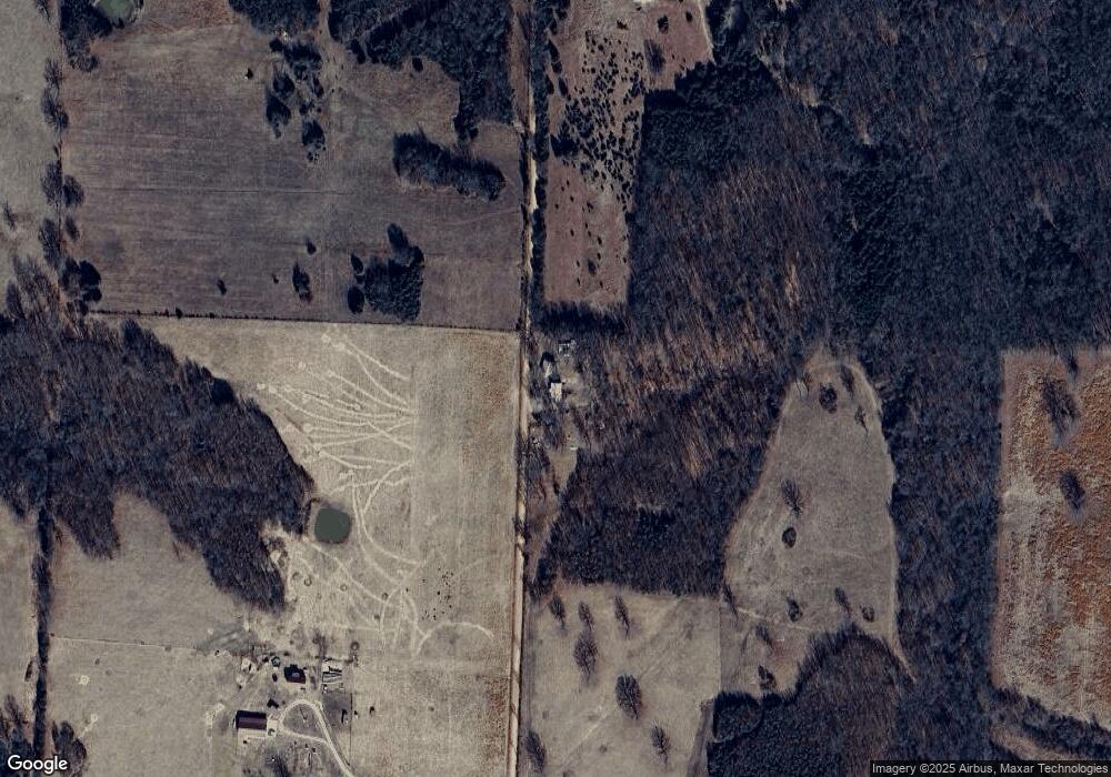
Map
Nearby Homes
- 4317 P Rd
- 0000 P Rd
- 0 Tbd Hwy 38
- 3048 Ryan Ln
- 000 State Highway C
- 2491 Amber Ln
- 6472 Cass Rd
- 0000 Old Jericho Rd
- 0 Old Jericho Rd
- 124 Plainview Dr
- 2453 Severs Rd
- 2268 Severs Rd
- 0 Whispering Meadows Ln
- 0000 Grapevine Rd
- 000 Sunshine Unit 2
- 000 Sunshine Unit 1
- 000 Sunshine Unit 3
- 000 Sunshine
- 000 Sunshine Unit LotWP001
- 000 Sunshine Unit LotWP002
- 4692 N Nichols Rd
- 4730 N Nichols Rd
- 1003 State Highway V
- 980 Highway V
- 1001 Pea Ridge Rd
- 826 Highway V
- 1060 Pea Ridge Rd
- 4451 N Nichols Rd
- 1029 Pea Ridge Rd
- 1113 Pea Ridge Rd
- 1180 Pea Ridge Rd
- 1191 Pea Ridge Rd
- 0 Hwy F Unit 15044809
- 0 Hwy F Unit 10805138
- 0 Hwy F Unit 11007049
- 0 Hwy F Unit 60064229
- 0 F Unit 11101158
- 4581 State Highway F
- 0 State Highway F
- 1202 Highway V