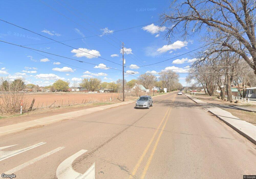
4594 Rusty Ave Snowflake, AZ 85937
Estimated Value: $335,000 - $371,081
--
Bed
--
Bath
1,942
Sq Ft
$178/Sq Ft
Est. Value
About This Home
This home is located at 4594 Rusty Ave, Snowflake, AZ 85937 and is currently estimated at $346,520, approximately $178 per square foot. 4594 Rusty Ave is a home with nearby schools including Joseph City Elementary School, Joseph City Junior High School, and Joseph City High School.
Ownership History
Date
Name
Owned For
Owner Type
Purchase Details
Closed on
Sep 25, 2023
Sold by
Brent And Joan Solomon Trust
Bought by
Whipple Jerald and Whipple Kourtney Ann
Current Estimated Value
Home Financials for this Owner
Home Financials are based on the most recent Mortgage that was taken out on this home.
Original Mortgage
$313,200
Outstanding Balance
$306,853
Interest Rate
6.96%
Mortgage Type
New Conventional
Estimated Equity
$39,667
Purchase Details
Closed on
Dec 19, 2022
Sold by
Brent & Joan Solomon Trust
Bought by
Whipple Jerald and Whipple Kourtney Ann
Purchase Details
Closed on
Aug 7, 2007
Sold by
Hall Jody
Bought by
Solomon Delwin B and Solomon Joan R
Create a Home Valuation Report for This Property
The Home Valuation Report is an in-depth analysis detailing your home's value as well as a comparison with similar homes in the area
Home Values in the Area
Average Home Value in this Area
Purchase History
| Date | Buyer | Sale Price | Title Company |
|---|---|---|---|
| Whipple Jerald | -- | Lawyers Title | |
| Whipple Jerald | $14,000 | -- | |
| Solomon Delwin B | $11,000 | First American Title |
Source: Public Records
Mortgage History
| Date | Status | Borrower | Loan Amount |
|---|---|---|---|
| Open | Whipple Jerald | $313,200 |
Source: Public Records
Tax History Compared to Growth
Tax History
| Year | Tax Paid | Tax Assessment Tax Assessment Total Assessment is a certain percentage of the fair market value that is determined by local assessors to be the total taxable value of land and additions on the property. | Land | Improvement |
|---|---|---|---|---|
| 2026 | $105 | -- | -- | -- |
| 2025 | $103 | $28,950 | $834 | $28,116 |
| 2024 | $101 | $1,251 | $1,251 | $0 |
| 2023 | $103 | $1,003 | $1,003 | $0 |
| 2022 | $101 | $0 | $0 | $0 |
| 2021 | $93 | $0 | $0 | $0 |
| 2020 | $169 | $0 | $0 | $0 |
| 2019 | $158 | $0 | $0 | $0 |
| 2018 | $151 | $0 | $0 | $0 |
| 2017 | $145 | $0 | $0 | $0 |
| 2016 | $144 | $0 | $0 | $0 |
| 2015 | $139 | $1,351 | $1,351 | $0 |
Source: Public Records
Map
Nearby Homes
- 0 N Joseph City Unit 257217
- 4590 Roberson Ave
- 0 104-15-011 Unit 255943
- 4620 1st Ave N
- 0002 N Porter Rd
- 4551 3rd Ave S
- 0006 N Porter Rd
- 0003 N Porter Rd
- 0008 N Porter Rd
- 005 N Porter Rd
- tbd 105-61-405 Rancho 106 -- Unit 69
- 10313 Porter Ave
- 0 N Porter Rd Unit 238403
- 0 N Porter Rd Unit 254447
- 1501 Heritage Ln
- N N Porter Rd
- 104-02-032 Navajo County -- Unit 32
- XXX N 2 Mi From Joseph City Tank St
- 0 Pueblo Mesa Ranch Unit 241365
- 1505 Hunsaker Rd
- 8240 N Randall Ave
- 4580 Rusty Ave
- 8236 Randall Ave
- 8248 N Randall Ave
- 8234 N Randall Ave
- 8241 N Randall Ave
- 8229 N Randall Ave
- 8228 N Randall Ave
- 8223 N Randall Ave
- 8248 Baird Ave
- 4610 8th N
- 8224 N Randall Ave
- 8219 N Randall Ave
- 8220A N Randall Ave
- 8215 N Randall Ave
- 4612 7th N
- 8205 N Randall Ave
- 4622 8th North Ave
- 8201 N Randall Ave
- 8210 Baird Ave
