4595 Burnt Fork Cir Douglasville, GA 30135
Anneewakee NeighborhoodEstimated Value: $300,270 - $331,000
3
Beds
2
Baths
2,016
Sq Ft
$158/Sq Ft
Est. Value
About This Home
This home is located at 4595 Burnt Fork Cir, Douglasville, GA 30135 and is currently estimated at $318,568, approximately $158 per square foot. 4595 Burnt Fork Cir is a home located in Douglas County with nearby schools including New Manchester Elementary School, Factory Shoals Middle School, and New Manchester High School.
Ownership History
Date
Name
Owned For
Owner Type
Purchase Details
Closed on
Dec 13, 2023
Sold by
Kerley Family Homes Llc
Bought by
Johnson Raymond Phillip
Current Estimated Value
Purchase Details
Closed on
Jun 29, 2006
Sold by
Weekley Homes
Bought by
Wood Robert M and Wood Katherine E
Purchase Details
Closed on
Nov 10, 2005
Sold by
Anneewakee Falls Llc
Bought by
Weekley Homes Lp
Create a Home Valuation Report for This Property
The Home Valuation Report is an in-depth analysis detailing your home's value as well as a comparison with similar homes in the area
Home Values in the Area
Average Home Value in this Area
Purchase History
| Date | Buyer | Sale Price | Title Company |
|---|---|---|---|
| Johnson Raymond Phillip | $629,900 | None Listed On Document | |
| Wood Robert M | $193,400 | -- | |
| Weekley Homes Lp | $116,000 | -- |
Source: Public Records
Tax History Compared to Growth
Tax History
| Year | Tax Paid | Tax Assessment Tax Assessment Total Assessment is a certain percentage of the fair market value that is determined by local assessors to be the total taxable value of land and additions on the property. | Land | Improvement |
|---|---|---|---|---|
| 2024 | $864 | $105,880 | $26,920 | $78,960 |
| 2023 | $864 | $105,880 | $26,920 | $78,960 |
| 2022 | $897 | $94,600 | $12,640 | $81,960 |
| 2021 | $758 | $61,160 | $9,960 | $51,200 |
| 2020 | $749 | $61,160 | $9,960 | $51,200 |
| 2019 | $605 | $59,720 | $9,960 | $49,760 |
| 2018 | $1,810 | $59,600 | $10,200 | $49,400 |
| 2017 | $1,712 | $55,480 | $10,520 | $44,960 |
| 2016 | $1,652 | $52,800 | $10,440 | $42,360 |
| 2015 | $1,262 | $50,280 | $10,200 | $40,080 |
| 2014 | $1,262 | $39,240 | $8,440 | $30,800 |
| 2013 | -- | $32,600 | $7,040 | $25,560 |
Source: Public Records
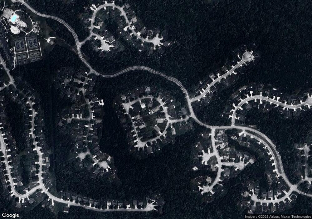
Map
Nearby Homes
- 2902 Grazing Bull Ct
- 4605 Lightning Bolt Trail
- 4375 Split Creek Dr
- 4378 Lodgeview Place
- 4405 Feather Way
- 4370 Pipestone Place
- 4590 River Stone Trail
- 3258 Hunting Creek Pass
- 2940 Highland Hill Pkwy
- 2950 Highland Hill Pkwy Unit 1
- 4475 River Stone Tr
- 3161 Berthas Overlook
- 4893 Spanish Oak Rd
- 2625 Thunder Basin Way Unit 1
- 4702 Moccasin Ct
- 2590 Gilbert Branch
- 0 Highway 92 Unit 7658655
- 0 Highway 92 Unit 10616110
- 4591 Burnt Fork Cir
- 4591 Burnt Fork Cir Unit 1
- 4601 Burnt Fork Cir
- 4605 Burnt Fork Cir
- 4589 Burnt Fork Cir
- 4623 Burnt Fork Cir
- 4621 Burnt Fork Cir
- 4592 Burnt Fork Cir
- 4594 Burnt Fork Cir
- 4596 Burnt Fork Cir
- 4645 Burnt Fork Cir
- 4625 Burnt Fork Cir
- 4613 Burnt Fork Cir
- 4598 Burnt Fork Cir
- 2884 Open Sky Way
- 4600 Burnt Fork Cir
- 4627 Burnt Fork Cir
- 4602 Burnt Fork Cir
- 2874 Open Sky Way
- 4604 Burnt Fork Cir