


4595 Fieldbrook Rd McKinleyville, CA 95519
Fieldbrook Neighborhood
1
Bed
1
Bath
--
Sq Ft
0.5
Acres
About This Home
Property Id: 2268159
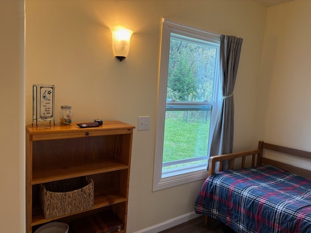
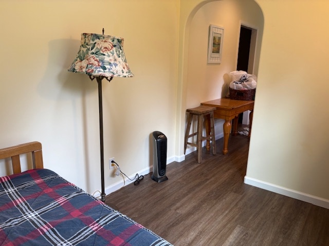
1 bedroom, 1 bath. Fully furnished. New appliances including an induction stove top, countertop oven / air fryer. Kitchen and bathroom windows look out onto a scenic garden and koi pond.
Tankless separator toilet.
Looking for a single tenant. No smoking or pets.
Rent is $800 per month plus $150 for utilities. $800 security deposit.
Listing Provided By

Map
Property History
| Date | Event | Price | List to Sale | Price per Sq Ft |
|---|---|---|---|---|
| 12/11/2025 12/11/25 | For Rent | $950 | -- | -- |
Nearby Homes
- 4504 Fieldbrook Rd
- 000 Tonopah Ln
- 1085 Tip Top Ridge Rd
- 038 Parcel Elizabeth Rd
- 1950 Norton Rd
- 1896 Blake Rd
- 1830 Dixie Ln
- 1825 Dixie Ln
- 000 Visser Ct
- 2616 Visser Ct
- 3848 Dows Prairie Rd
- 0 Central Ave Unit 267673
- Lot 19 Central Ave
- 2032 Nelson Rd
- 2331 Central Ave
- 1711 Orrin's Ln
- 1241 Silverado Ave
- 4373 Central Ave
- 2257 Walnut Ave
- 1126 Killdeer Rd