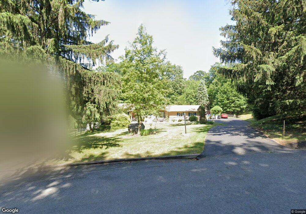
4597 Rose Dr Emmaus, PA 18049
Estimated Value: $354,000 - $428,000
3
Beds
2
Baths
1,655
Sq Ft
$239/Sq Ft
Est. Value
About This Home
This home is located at 4597 Rose Dr, Emmaus, PA 18049 and is currently estimated at $395,779, approximately $239 per square foot. 4597 Rose Dr is a home located in Lehigh County with nearby schools including Macungie Elementary School, Eyer Middle School, and Emmaus High School.
Ownership History
Date
Name
Owned For
Owner Type
Purchase Details
Closed on
Jun 18, 2004
Sold by
Willitts Carolyn A and Schaeffer Pauline M
Bought by
Keck David A and Keck Kathy S
Current Estimated Value
Home Financials for this Owner
Home Financials are based on the most recent Mortgage that was taken out on this home.
Original Mortgage
$175,000
Interest Rate
6.32%
Mortgage Type
Purchase Money Mortgage
Purchase Details
Closed on
Oct 15, 1986
Bought by
Schaeffer Pauline M
Purchase Details
Closed on
Nov 19, 1979
Bought by
Bortz Dale R and Bortz Paticia E
Create a Home Valuation Report for This Property
The Home Valuation Report is an in-depth analysis detailing your home's value as well as a comparison with similar homes in the area
Home Values in the Area
Average Home Value in this Area
Purchase History
| Date | Buyer | Sale Price | Title Company |
|---|---|---|---|
| Keck David A | $250,000 | -- | |
| Schaeffer Pauline M | $133,000 | -- | |
| Bortz Dale R | $17,200 | -- |
Source: Public Records
Mortgage History
| Date | Status | Borrower | Loan Amount |
|---|---|---|---|
| Closed | Keck David A | $175,000 |
Source: Public Records
Tax History
| Year | Tax Paid | Tax Assessment Tax Assessment Total Assessment is a certain percentage of the fair market value that is determined by local assessors to be the total taxable value of land and additions on the property. | Land | Improvement |
|---|---|---|---|---|
| 2025 | $4,886 | $191,400 | $44,600 | $146,800 |
| 2024 | $4,670 | $191,400 | $44,600 | $146,800 |
| 2023 | $4,576 | $191,400 | $44,600 | $146,800 |
| 2022 | $4,466 | $191,400 | $146,800 | $44,600 |
| 2021 | $4,370 | $191,400 | $44,600 | $146,800 |
| 2020 | $4,328 | $191,400 | $44,600 | $146,800 |
| 2019 | $4,301 | $191,400 | $44,600 | $146,800 |
| 2018 | $4,191 | $191,400 | $44,600 | $146,800 |
| 2017 | $4,117 | $191,400 | $44,600 | $146,800 |
| 2016 | -- | $191,400 | $44,600 | $146,800 |
| 2015 | -- | $191,400 | $44,600 | $146,800 |
| 2014 | -- | $191,400 | $44,600 | $146,800 |
Source: Public Records
Map
Nearby Homes
- 4835 Shimerville Rd
- 5160 Maple Ridge Way
- 3868 Mink Rd
- 830 E Main St
- 4441 Taviston Ct E
- 725 E Main St
- 5095 Maple Ridge Way Unit Homesite 13
- 5065 Maple Ridge Way
- 5125 Maple Ridge Way
- 4434 Taviston Ct E
- 4338 Taviston Ct E Unit Homesite 26
- 3721 Samantha Ln Unit 76
- 3677 Samantha Ln Unit 61
- 4290 Taviston Ct E
- 316 S 16th St
- 3728 Samantha Ln Unit 10
- 210 S 16th St
- Foxgrove I - TR Plan at The Fields at Twin Run
- Folcroft -TR Plan at The Fields at Twin Run
- Sierra - TR Plan at The Fields at Twin Run