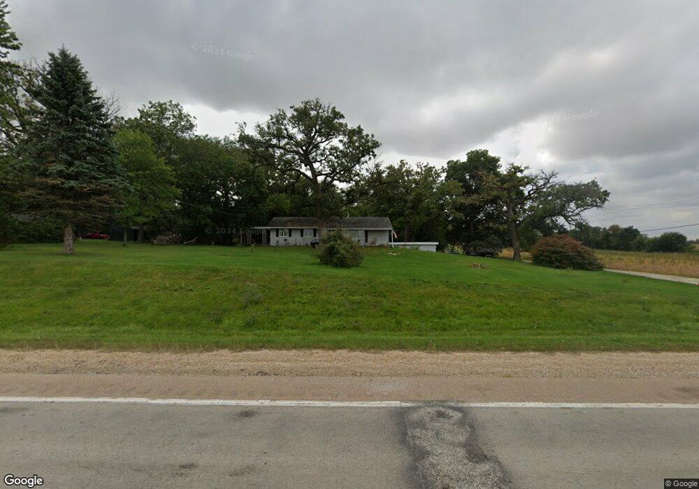
45W369 Il Route 38 Maple Park, IL 60151
Estimated Value: $315,000 - $350,000
3
Beds
--
Bath
1,568
Sq Ft
$212/Sq Ft
Est. Value
About This Home
This home is located at 45W369 Il Route 38, Maple Park, IL 60151 and is currently estimated at $333,091, approximately $212 per square foot. 45W369 Il Route 38 is a home with nearby schools including Kaneland John Stewart Elementary School, Harter Middle School, and Kaneland Senior High School.
Ownership History
Date
Name
Owned For
Owner Type
Purchase Details
Closed on
Aug 2, 2021
Sold by
Armesy Thomas W and Armesy Timothy E
Bought by
Brundige Levi and Flamand Kalina
Current Estimated Value
Home Financials for this Owner
Home Financials are based on the most recent Mortgage that was taken out on this home.
Original Mortgage
$222,000
Outstanding Balance
$202,138
Interest Rate
2.99%
Mortgage Type
New Conventional
Estimated Equity
$130,953
Purchase Details
Closed on
Aug 16, 2017
Sold by
Armsey Dorothy M and Armsey Thomas W
Bought by
Armesy Thomas W and Armesy Timothy E
Create a Home Valuation Report for This Property
The Home Valuation Report is an in-depth analysis detailing your home's value as well as a comparison with similar homes in the area
Home Values in the Area
Average Home Value in this Area
Purchase History
| Date | Buyer | Sale Price | Title Company |
|---|---|---|---|
| Brundige Levi | $242,000 | None Available | |
| Armesy Thomas W | -- | Attorney |
Source: Public Records
Mortgage History
| Date | Status | Borrower | Loan Amount |
|---|---|---|---|
| Open | Brundige Levi | $222,000 |
Source: Public Records
Tax History Compared to Growth
Tax History
| Year | Tax Paid | Tax Assessment Tax Assessment Total Assessment is a certain percentage of the fair market value that is determined by local assessors to be the total taxable value of land and additions on the property. | Land | Improvement |
|---|---|---|---|---|
| 2024 | $7,591 | $98,785 | $39,268 | $59,517 |
| 2023 | $7,509 | $91,731 | $36,464 | $55,267 |
| 2022 | $7,296 | $84,991 | $33,785 | $51,206 |
| 2021 | $7,944 | $95,832 | $32,063 | $63,769 |
| 2020 | $4,385 | $92,440 | $30,928 | $61,512 |
| 2019 | $4,467 | $88,722 | $29,684 | $59,038 |
| 2018 | $4,567 | $83,503 | $27,938 | $55,565 |
| 2017 | $6,775 | $78,702 | $26,332 | $52,370 |
| 2016 | $4,785 | $73,627 | $24,706 | $48,921 |
| 2015 | -- | $69,237 | $23,233 | $46,004 |
| 2014 | -- | $67,220 | $22,556 | $44,664 |
| 2013 | -- | $67,220 | $22,556 | $44,664 |
Source: Public Records
Map
Nearby Homes
- 526 N Main St
- 205 W Pierce St
- 1120 Walker Ct
- 231 E Shannon St
- 235 Walker Dr
- 630 Maple Ct Unit 2
- 1427 Garfield Dr
- 524 Highland Dr
- 000 Illinois 47
- 653 Downing St
- The Aspen - Front Load Plan at Williams Ridge
- The Halsted Plan at Williams Ridge
- The Superior Plan at Williams Ridge
- The Varner Plan at Williams Ridge
- The Williamson Plan at Williams Ridge
- The Westwood Plan at Williams Ridge
- The Lincoln Plan at Williams Ridge
- The Ontario Plan at Williams Ridge
- The Ashbury Plan at Williams Ridge
- The Bettendorf Plan at Williams Ridge
- 2N300 Saddlewood Dr
- 45W371 Il Route 38
- 2N280 Saddlewood Dr
- 2N321 Saddlewood Dr
- 2N289 Saddlewood Dr
- 2N178 Saddlewood Dr
- 2N215 Saddlewood Dr
- 2N215 Saddlewood Dr
- 2N195 Saddlewood Dr
- 2N158 Saddlewood Dr
- 2N160 Saddlewood Dr
- 45W521 State Route 38
- 2N155 Saddlewood Dr
- 2N138 Saddlewood Dr
- Lot 8 Route 38
- Lot 6 Saddlewood Dr
- 2N129 Saddlewood Dr
- 2N128 Saddlewood Dr
- 2N090 Saddlewood Dr
- 2N079 Saddlewood Dr