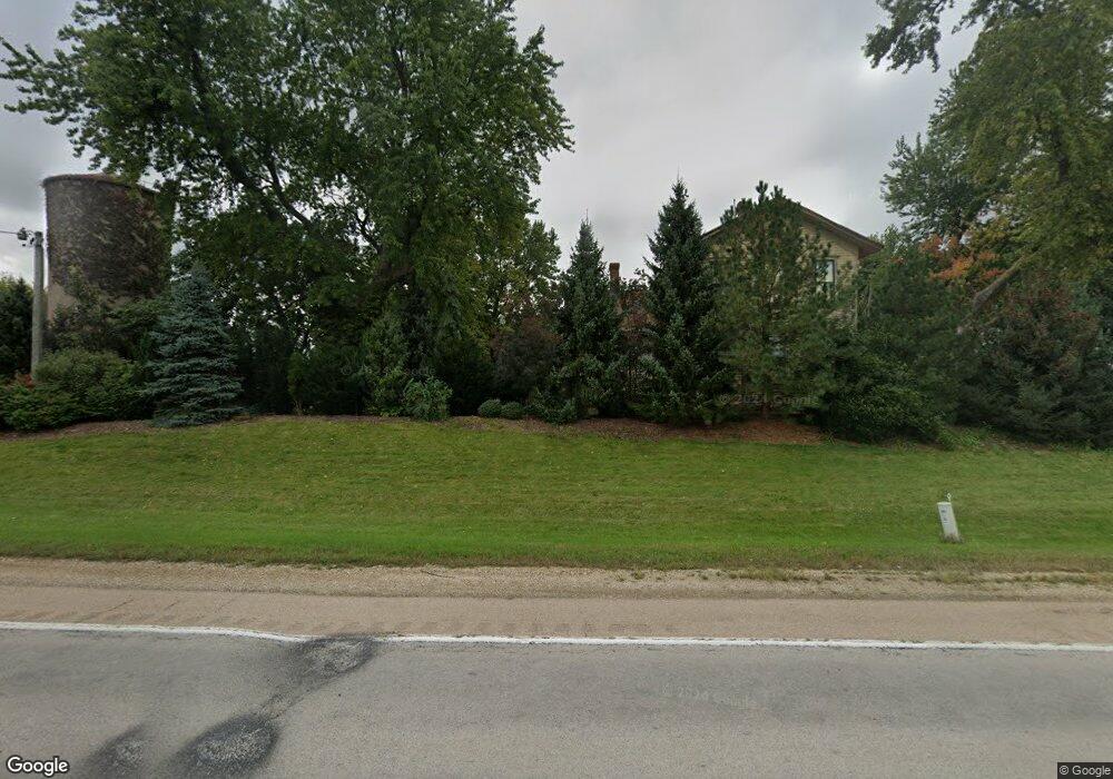
45W521 State Route 38 Maple Park, IL 60151
Estimated Value: $380,000 - $573,000
--
Bed
--
Bath
1,876
Sq Ft
$259/Sq Ft
Est. Value
About This Home
This home is located at 45W521 State Route 38, Maple Park, IL 60151 and is currently estimated at $485,601, approximately $258 per square foot. 45W521 State Route 38 is a home with nearby schools including Kaneland John Stewart Elementary School, Harter Middle School, and Kaneland Senior High School.
Create a Home Valuation Report for This Property
The Home Valuation Report is an in-depth analysis detailing your home's value as well as a comparison with similar homes in the area
Home Values in the Area
Average Home Value in this Area
Tax History Compared to Growth
Tax History
| Year | Tax Paid | Tax Assessment Tax Assessment Total Assessment is a certain percentage of the fair market value that is determined by local assessors to be the total taxable value of land and additions on the property. | Land | Improvement |
|---|---|---|---|---|
| 2024 | $11,744 | $156,585 | $47,020 | $109,565 |
| 2023 | $11,593 | $145,403 | $43,662 | $101,741 |
| 2022 | $11,416 | $134,720 | $40,454 | $94,266 |
| 2021 | $10,513 | $127,854 | $38,392 | $89,462 |
| 2020 | $10,614 | $123,328 | $37,033 | $86,295 |
| 2019 | $10,335 | $118,369 | $35,544 | $82,825 |
| 2018 | $9,883 | $111,406 | $33,453 | $77,953 |
| 2017 | $9,399 | $105,001 | $31,530 | $73,471 |
| 2016 | $8,998 | $98,215 | $29,583 | $68,632 |
| 2015 | -- | $90,483 | $27,819 | $62,664 |
| 2014 | -- | $87,848 | $27,009 | $60,839 |
| 2013 | -- | $87,848 | $27,009 | $60,839 |
Source: Public Records
Map
Nearby Homes
- 526 N Main St
- 205 W Pierce St
- 1120 Walker Ct
- 231 E Shannon St
- 630 Maple Ct Unit 2
- 235 Walker Dr
- 1427 Garfield Dr
- 000 Illinois 47
- 524 Highland Dr
- 653 Downing St
- The Aspen - Front Load Plan at Williams Ridge
- The Halsted Plan at Williams Ridge
- The Superior Plan at Williams Ridge
- The Varner Plan at Williams Ridge
- The Williamson Plan at Williams Ridge
- The Westwood Plan at Williams Ridge
- The Lincoln Plan at Williams Ridge
- The Ontario Plan at Williams Ridge
- The Ashbury Plan at Williams Ridge
- The Bettendorf Plan at Williams Ridge
- Lot 8 Route 38
- 45W369 Il Route 38
- 45W371 Il Route 38
- 2N158 Saddlewood Dr
- 2N178 Saddlewood Dr
- 2N300 Saddlewood Dr
- 2N138 Saddlewood Dr
- 2N280 Saddlewood Dr
- 2N160 Saddlewood Dr
- 2N128 Saddlewood Dr
- 2N090 Saddlewood Dr
- Lot 6 Saddlewood Dr
- 2N321 Saddlewood Dr
- 2N215 Saddlewood Dr
- 2N215 Saddlewood Dr
- 2N289 Saddlewood Dr
- 2N155 Saddlewood Dr
- 2N195 Saddlewood Dr
- 45W799 Il Route 38
- 45W799 Il Route 38