45W656 Middleton Rd Hampshire, IL 60140
Estimated Value: $553,000 - $616,137
4
Beds
2
Baths
2,821
Sq Ft
$208/Sq Ft
Est. Value
About This Home
This home is located at 45W656 Middleton Rd, Hampshire, IL 60140 and is currently estimated at $587,046, approximately $208 per square foot. 45W656 Middleton Rd is a home with nearby schools including Lily Lake Grade School, Central Middle School, and Prairie Knolls Middle School.
Ownership History
Date
Name
Owned For
Owner Type
Purchase Details
Closed on
May 30, 2002
Sold by
John William P and John Karen G
Bought by
Anderson Mark R and Anderson Heidi A
Current Estimated Value
Home Financials for this Owner
Home Financials are based on the most recent Mortgage that was taken out on this home.
Original Mortgage
$248,250
Interest Rate
6.3%
Mortgage Type
Construction
Purchase Details
Closed on
May 1, 1998
Sold by
Turner Nora
Bought by
Farmers State Bk&Tr Co Of Mt Sterling Tr
Create a Home Valuation Report for This Property
The Home Valuation Report is an in-depth analysis detailing your home's value as well as a comparison with similar homes in the area
Home Values in the Area
Average Home Value in this Area
Purchase History
| Date | Buyer | Sale Price | Title Company |
|---|---|---|---|
| Anderson Mark R | $73,500 | Chicago Title Insurance Co | |
| Farmers State Bk&Tr Co Of Mt Sterling Tr | $1,326,000 | Law Title Insurance Company |
Source: Public Records
Mortgage History
| Date | Status | Borrower | Loan Amount |
|---|---|---|---|
| Previous Owner | Anderson Mark R | $248,250 |
Source: Public Records
Tax History Compared to Growth
Tax History
| Year | Tax Paid | Tax Assessment Tax Assessment Total Assessment is a certain percentage of the fair market value that is determined by local assessors to be the total taxable value of land and additions on the property. | Land | Improvement |
|---|---|---|---|---|
| 2024 | $12,774 | $164,753 | $29,344 | $135,409 |
| 2023 | $12,576 | $152,895 | $27,021 | $125,874 |
| 2022 | $12,086 | $141,514 | $24,798 | $116,716 |
| 2021 | $11,655 | $133,513 | $23,215 | $110,298 |
| 2020 | $11,442 | $129,120 | $22,314 | $106,806 |
| 2019 | $11,241 | $125,359 | $21,539 | $103,820 |
| 2018 | $10,756 | $119,691 | $20,414 | $99,277 |
| 2017 | $10,475 | $115,043 | $19,484 | $95,559 |
| 2016 | $10,636 | $109,286 | $18,353 | $90,933 |
| 2015 | -- | $106,751 | $17,831 | $88,920 |
| 2014 | -- | $97,521 | $18,968 | $78,553 |
| 2013 | -- | $105,868 | $23,195 | $82,673 |
Source: Public Records
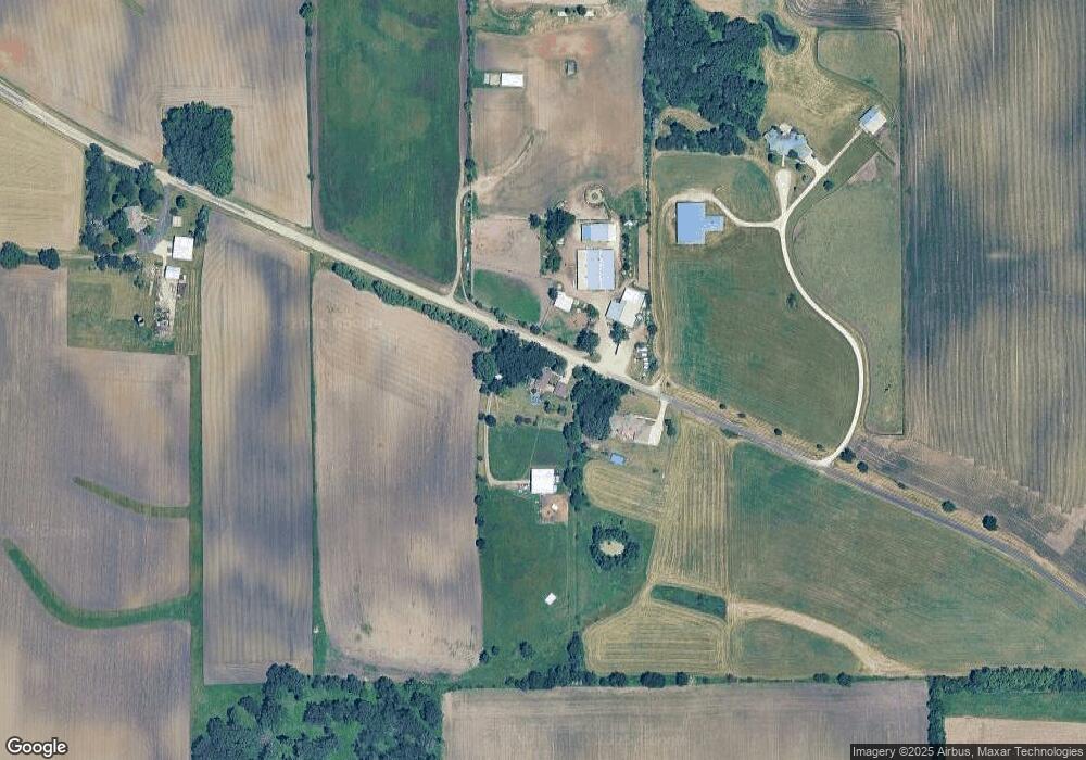
Map
Nearby Homes
- 44W669 Ramm Rd
- 1853 Chandolin Ln
- 1831 Chandolin Ln
- 1855 Chandolin Ln
- LOT 1 E Sunset Views Dr
- 24 Autumn Ct
- 41W591 Lenz Rd
- 10N874 Rippburger Rd
- 42W534 Empire Rd
- 42W641 Jens Jensen Ln Unit 2
- 41W455 Brierwood Dr
- 44W465 Plank Rd
- 41W072 Bowes Rd
- 5N683 Ravine Dr
- 42W697 Bridle Ct
- 300 Rolling Oaks Dr
- LOT 5 Rolling Oaks Dr
- 5N461 Hidden Springs Dr
- 4378 John Milton Rd
- 40W513 Old Mill Ct
- 45W300 Middleton Rd
- 45W316 McDonald Rd
- 45W230 McDonald Rd
- 46 Middleton Rd
- 45W016 McDonald Rd
- 8N852 Burlington Rd
- 45W659 Middleton Rd
- 45W420 McDonald Rd
- 13 Middleton Rd
- 1 Middleton Rd
- 45W689 Middleton Rd
- 45W728 McDonald Rd
- 44w McDonald Rd
- 44W649 McDonald Rd
- 44W512 McDonald Rd
- 45W895 Middleton Rd
- 44W601 McDonald Rd
- 9N410 Burlington Rd
- 8N675 Thomas Rd
- 45W930 McDonald Rd