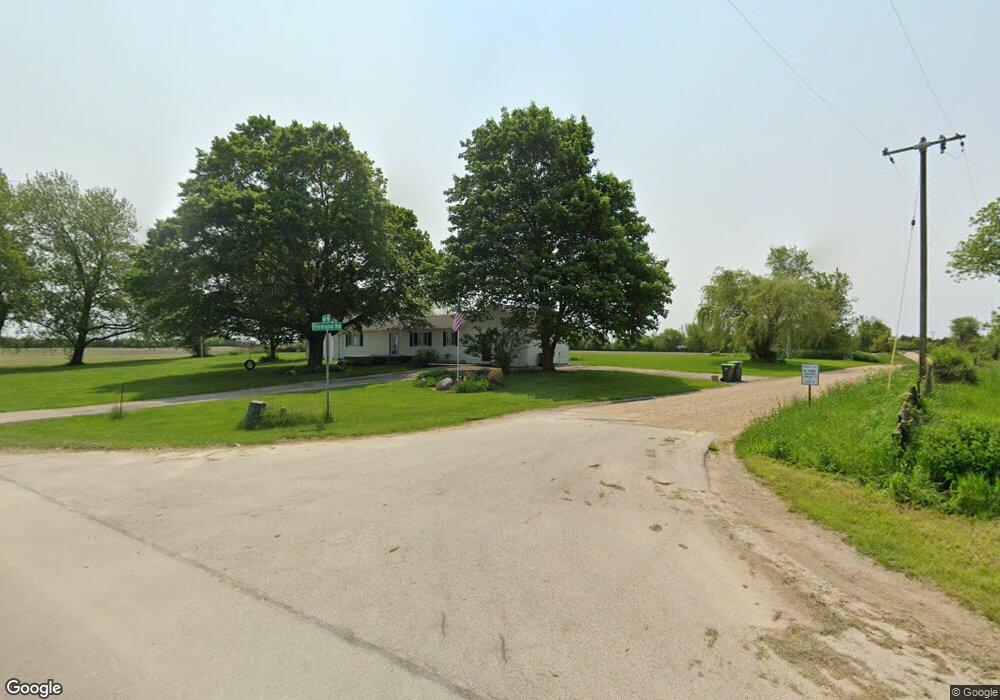
45W725 Beith Rd Maple Park, IL 60151
Estimated Value: $360,133 - $473,000
3
Beds
2
Baths
2,064
Sq Ft
$198/Sq Ft
Est. Value
About This Home
This home is located at 45W725 Beith Rd, Maple Park, IL 60151 and is currently estimated at $408,783, approximately $198 per square foot. 45W725 Beith Rd is a home located in Kane County with nearby schools including Kaneland John Stewart Elementary School, Harter Middle School, and Kaneland High School.
Ownership History
Date
Name
Owned For
Owner Type
Purchase Details
Closed on
Sep 27, 2002
Sold by
The Old Second National Bank Of Aurora
Bought by
Johnson Lincoln M and Johnson Stephanie A
Current Estimated Value
Home Financials for this Owner
Home Financials are based on the most recent Mortgage that was taken out on this home.
Original Mortgage
$135,000
Outstanding Balance
$57,135
Interest Rate
6.29%
Estimated Equity
$351,648
Create a Home Valuation Report for This Property
The Home Valuation Report is an in-depth analysis detailing your home's value as well as a comparison with similar homes in the area
Home Values in the Area
Average Home Value in this Area
Purchase History
| Date | Buyer | Sale Price | Title Company |
|---|---|---|---|
| Johnson Lincoln M | $151,500 | First American Title Co |
Source: Public Records
Mortgage History
| Date | Status | Borrower | Loan Amount |
|---|---|---|---|
| Open | Johnson Lincoln M | $135,000 |
Source: Public Records
Tax History
| Year | Tax Paid | Tax Assessment Tax Assessment Total Assessment is a certain percentage of the fair market value that is determined by local assessors to be the total taxable value of land and additions on the property. | Land | Improvement |
|---|---|---|---|---|
| 2024 | $7,493 | $97,613 | $20,731 | $76,882 |
| 2023 | $7,411 | $90,643 | $19,251 | $71,392 |
| 2022 | $7,203 | $83,984 | $17,837 | $66,147 |
| 2021 | $6,905 | $79,704 | $16,928 | $62,776 |
| 2020 | $6,705 | $76,883 | $16,329 | $60,554 |
| 2019 | $6,533 | $73,791 | $15,672 | $58,119 |
| 2018 | $6,253 | $69,450 | $14,750 | $54,700 |
| 2017 | $5,953 | $65,457 | $13,902 | $51,555 |
| 2016 | $5,703 | $61,204 | $13,044 | $48,160 |
| 2015 | -- | $55,491 | $12,266 | $43,225 |
| 2014 | -- | $53,875 | $11,909 | $41,966 |
| 2013 | -- | $53,875 | $11,909 | $41,966 |
Source: Public Records
Map
Nearby Homes
- 43W880 Pathfinder Dr Unit 3
- 276 Ream Dr
- 43W951 Fox Hill Ct
- 844 N 1st St
- 410 W Reader St
- 526 N Main St
- 214 Read St
- 620 Ridge Dr
- 644 Houtz Cir
- Lot 77 Houtz Cir
- 875 Station Blvd
- 516 Banbury Ave
- 000 Illinois 47
- 42W668 Steeplechase
- 000 Winters Rd
- 42W470 Red Bud Ct
- 4N890 Chaffield Dr
- 00 Welter Rd
- 2N879 Howard Rd
- 607 Virginia St
- 45W705 Beith Rd
- 45W825 Beith Rd
- 44W180 Beith Rd
- 3N901 Francis Rd
- 3N545 Freeland Rd
- 3N481 Freeland Rd
- 3N480 Freeland Rd
- 46W235 Beith Rd
- 3N445 Freeland Rd
- 3N360 Freeland Rd
- 3N570 Francis Rd
- 3N325 Freeland Rd
- 3N452 Francis Rd
- 3N204 Freeland Rd
- 3N112 Freeland Rd
- 0000 Freeland Rd
- 3N098 Freeland Rd
- 45W160 Beith Rd
Your Personal Tour Guide
Ask me questions while you tour the home.