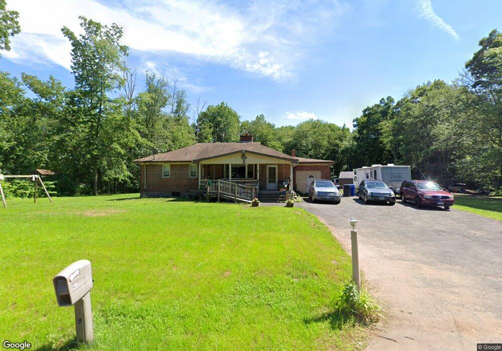
46 Abbe Rd East Windsor, CT 06088
Estimated Value: $306,000 - $409,000
3
Beds
2
Baths
1,692
Sq Ft
$210/Sq Ft
Est. Value
About This Home
This home is located at 46 Abbe Rd, East Windsor, CT 06088 and is currently estimated at $355,386, approximately $210 per square foot. 46 Abbe Rd is a home located in Hartford County with nearby schools including Broad Brook Elementary School, East Windsor Middle School, and East Windsor High School.
Ownership History
Date
Name
Owned For
Owner Type
Purchase Details
Closed on
Jun 20, 1994
Sold by
Alvarenga Martin and Santana Francisco
Bought by
Smith Michael
Current Estimated Value
Home Financials for this Owner
Home Financials are based on the most recent Mortgage that was taken out on this home.
Original Mortgage
$85,378
Interest Rate
2%
Mortgage Type
Unknown
Purchase Details
Closed on
Aug 20, 1993
Sold by
Vick Ivory
Bought by
Alvarenga Martin and Santana Francesco
Create a Home Valuation Report for This Property
The Home Valuation Report is an in-depth analysis detailing your home's value as well as a comparison with similar homes in the area
Home Values in the Area
Average Home Value in this Area
Purchase History
| Date | Buyer | Sale Price | Title Company |
|---|---|---|---|
| Smith Michael | $95,000 | -- | |
| Alvarenga Martin | $90,000 | -- |
Source: Public Records
Mortgage History
| Date | Status | Borrower | Loan Amount |
|---|---|---|---|
| Open | Alvarenga Martin | $224,988 | |
| Closed | Alvarenga Martin | $168,419 | |
| Closed | Alvarenga Martin | $45,000 | |
| Closed | Alvarenga Martin | $85,378 |
Source: Public Records
Tax History Compared to Growth
Tax History
| Year | Tax Paid | Tax Assessment Tax Assessment Total Assessment is a certain percentage of the fair market value that is determined by local assessors to be the total taxable value of land and additions on the property. | Land | Improvement |
|---|---|---|---|---|
| 2025 | $6,138 | $227,070 | $78,760 | $148,310 |
| 2024 | $5,940 | $227,070 | $78,760 | $148,310 |
| 2023 | $4,417 | $120,760 | $49,320 | $71,440 |
| 2022 | $4,387 | $120,760 | $49,320 | $71,440 |
| 2021 | $4,396 | $120,760 | $49,320 | $71,440 |
| 2020 | $4,398 | $120,760 | $49,320 | $71,440 |
| 2019 | $4,305 | $120,760 | $49,320 | $71,440 |
| 2018 | $4,263 | $120,760 | $49,320 | $71,440 |
| 2017 | $3,877 | $113,790 | $57,270 | $56,520 |
| 2016 | $3,656 | $113,790 | $57,270 | $56,520 |
| 2015 | $3,449 | $113,790 | $57,270 | $56,520 |
| 2014 | $3,389 | $113,790 | $57,270 | $56,520 |
Source: Public Records
Map
Nearby Homes
- 17 Cathy (Lot 18) Ln
- 19 Cathy (Lot 19) Ln
- 27 W River Rd
- 18 Cathy (Lot 17) Ln
- 34 W River Rd
- 21 Ln
- 20 Cathy (Lot 16) Ln
- 23 Cathy (Lot 21) Ln
- 22 Cathy (Lot 15) Ln
- 24 Cathy (Lot 14) Ln
- 26 Cathy (Lot 13) Ln
- 29 W River Rd
- 372 Scantic Rd Unit 8
- 43 W River Rd
- 20 Phelps Rd
- 153 Scantic Rd
- 145 Scantic Rd
- 701 Meadowview Dr
- 47 Ferry Ln
- 24 MacKtown Rd