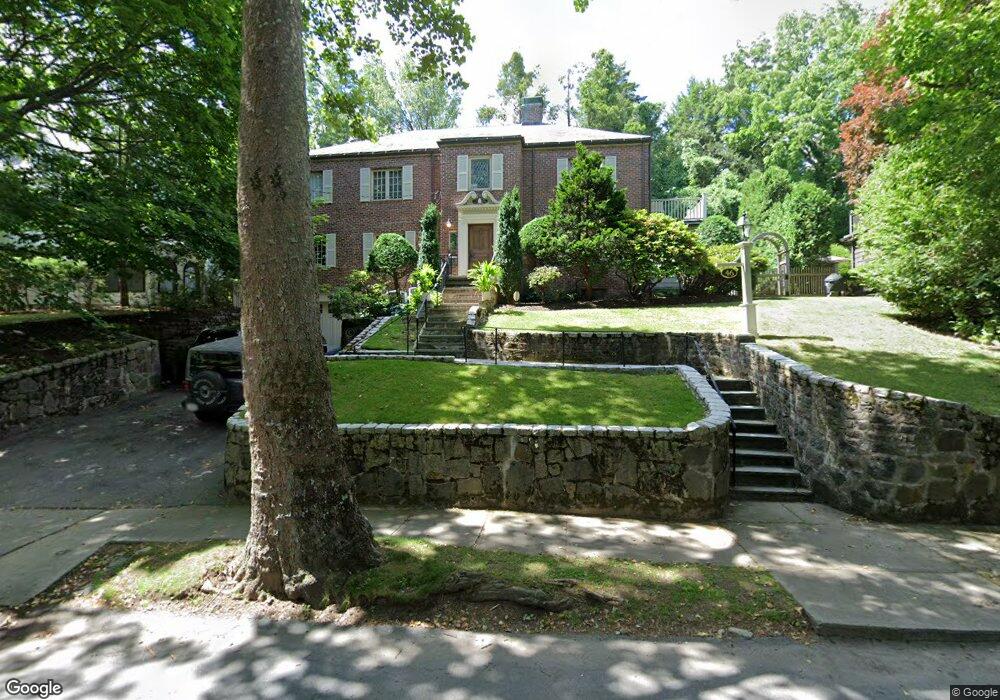
46 Alberta Rd Chestnut Hill, MA 02467
South Brookline NeighborhoodEstimated Value: $2,137,000 - $2,697,000
4
Beds
5
Baths
3,373
Sq Ft
$710/Sq Ft
Est. Value
About This Home
This home is located at 46 Alberta Rd, Chestnut Hill, MA 02467 and is currently estimated at $2,396,101, approximately $710 per square foot. 46 Alberta Rd is a home located in Norfolk County with nearby schools including Baker School, Brookline High School, and Dexter School.
Ownership History
Date
Name
Owned For
Owner Type
Purchase Details
Closed on
Nov 20, 2024
Sold by
Altman Susan M and Altman Steven E
Bought by
Susan M Altman Ret and Altman
Current Estimated Value
Purchase Details
Closed on
Jun 29, 2001
Sold by
Aaronson Scott T and Aaronson Paula D
Bought by
Altman Steven E and Altman Susan M
Create a Home Valuation Report for This Property
The Home Valuation Report is an in-depth analysis detailing your home's value as well as a comparison with similar homes in the area
Home Values in the Area
Average Home Value in this Area
Purchase History
| Date | Buyer | Sale Price | Title Company |
|---|---|---|---|
| Susan M Altman Ret | -- | None Available | |
| Susan M Altman Ret | -- | None Available | |
| Altman Steven E | $1,100,000 | -- |
Source: Public Records
Mortgage History
| Date | Status | Borrower | Loan Amount |
|---|---|---|---|
| Previous Owner | Altman Steven E | $180,000 | |
| Previous Owner | Altman Steven E | $620,000 |
Source: Public Records
Tax History
| Year | Tax Paid | Tax Assessment Tax Assessment Total Assessment is a certain percentage of the fair market value that is determined by local assessors to be the total taxable value of land and additions on the property. | Land | Improvement |
|---|---|---|---|---|
| 2025 | $23,119 | $2,342,400 | $769,600 | $1,572,800 |
| 2024 | $24,327 | $2,490,000 | $740,000 | $1,750,000 |
| 2023 | $23,090 | $2,315,900 | $600,000 | $1,715,900 |
| 2022 | $22,476 | $2,205,700 | $571,500 | $1,634,200 |
| 2021 | $20,784 | $2,120,800 | $549,500 | $1,571,300 |
| 2020 | $19,372 | $2,049,900 | $499,500 | $1,550,400 |
| 2019 | $18,293 | $1,952,300 | $475,700 | $1,476,600 |
| 2018 | $18,376 | $1,942,500 | $475,700 | $1,466,800 |
| 2017 | $18,105 | $1,832,500 | $448,800 | $1,383,700 |
| 2016 | $17,845 | $1,712,600 | $419,400 | $1,293,200 |
| 2015 | $16,734 | $1,566,900 | $392,000 | $1,174,900 |
| 2014 | $17,832 | $1,565,600 | $356,400 | $1,209,200 |
Source: Public Records
Map
Nearby Homes
- 60 Alberta Rd
- 16 Alberta Rd
- 55 Bellingham Rd
- 36 Goodnough Rd
- 72 Wallis Rd
- 10 Hallwood Rd
- 91 Grove St
- 95 Beverly Rd
- 227 Bonad Rd
- 55 Fairgreen Place
- 17 Fairgreen Place
- 134 Rangeley Rd
- 50-56 Broadlawn Park Unit 221
- 170 Bonad Rd
- 28 Westgate Rd Unit 3
- 44 Broadlawn Park Unit 22
- 64 Bryon Rd Unit 1
- 67 Risley Rd
- 25 Clearwater Rd
- 42 Bryon Rd Unit 6
Your Personal Tour Guide
Ask me questions while you tour the home.