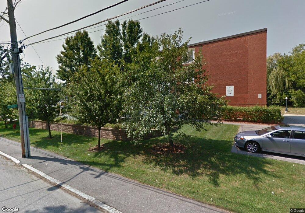
46 Ashford St Unit 2 Methuen, MA 01844
The East End NeighborhoodEstimated Value: $197,000 - $298,000
2
Beds
1
Bath
740
Sq Ft
$361/Sq Ft
Est. Value
About This Home
This home is located at 46 Ashford St Unit 2, Methuen, MA 01844 and is currently estimated at $267,250, approximately $361 per square foot. 46 Ashford St Unit 2 is a home located in Essex County with nearby schools including Timony Grammar School, Methuen High School, and Community Day Charter Public School - Gateway.
Ownership History
Date
Name
Owned For
Owner Type
Purchase Details
Closed on
Sep 9, 2024
Sold by
Forty Six Ashford Condo T and Mackin
Bought by
Lovato Ft and Jolicoeur
Current Estimated Value
Purchase Details
Closed on
May 9, 2014
Sold by
Lovato Ft and Lovato
Bought by
Lovato Ft and Sheehan
Purchase Details
Closed on
Aug 6, 2012
Sold by
Lovato Maryanne A
Bought by
Lovato Ft and Lovato
Purchase Details
Closed on
Aug 5, 2011
Sold by
Thompson Debra Est and Thompson
Bought by
Lavato Maryanne A
Purchase Details
Closed on
Aug 6, 2010
Sold by
Massachusetts Hsng Opp
Bought by
Thompson Deborah
Create a Home Valuation Report for This Property
The Home Valuation Report is an in-depth analysis detailing your home's value as well as a comparison with similar homes in the area
Home Values in the Area
Average Home Value in this Area
Purchase History
| Date | Buyer | Sale Price | Title Company |
|---|---|---|---|
| Lovato Ft | -- | None Available | |
| Lovato Ft | -- | None Available | |
| Lovato Ft | -- | -- | |
| Lovato Ft | -- | -- | |
| Lovato Ft | -- | -- | |
| Lovato Ft | -- | -- | |
| Lavato Maryanne A | $94,900 | -- | |
| Lavato Maryanne A | $94,900 | -- | |
| Thompson Deborah | $95,000 | -- | |
| Thompson Deborah | $95,000 | -- |
Source: Public Records
Tax History
| Year | Tax Paid | Tax Assessment Tax Assessment Total Assessment is a certain percentage of the fair market value that is determined by local assessors to be the total taxable value of land and additions on the property. | Land | Improvement |
|---|---|---|---|---|
| 2025 | $2,176 | $205,700 | $0 | $205,700 |
| 2024 | $1,725 | $158,800 | $0 | $158,800 |
| 2023 | $1,946 | $166,300 | $0 | $166,300 |
| 2022 | $1,986 | $152,200 | $0 | $152,200 |
| 2021 | $1,914 | $145,100 | $0 | $145,100 |
| 2020 | $1,836 | $136,600 | $0 | $136,600 |
| 2019 | $1,710 | $120,500 | $0 | $120,500 |
| 2018 | $1,792 | $125,600 | $0 | $125,600 |
| 2017 | $1,765 | $120,500 | $0 | $120,500 |
| 2016 | $1,868 | $126,100 | $0 | $126,100 |
| 2015 | $1,613 | $110,500 | $0 | $110,500 |
Source: Public Records
Map
Nearby Homes
- 68 Ashford St
- 7 Erhardt Terrace
- 18 Erhardt Terrace
- 12 Annette St
- 65 Arthur St
- 39 Swan Ave
- 32 Josephine Ave
- 14 Court St
- 106 Leroy Ave
- 264 E Haverhill St Unit 2
- 37 Albion St
- 1 Riverview Blvd Unit 8-203
- 25-27 Bicknell Ave
- 30 Anderson Dr
- 2 Leslie St
- 173 Jackson St
- 593 Prospect St
- 5 Kendrick St
- 60 Ames St
- 611 Prospect St
- 46 Ashford St Unit 20
- 46 Ashford St Unit 19
- 46 Ashford St Unit 18
- 46 Ashford St Unit 17
- 46 Ashford St Unit 16
- 46 Ashford St Unit 15
- 46 Ashford St Unit 13
- 46 Ashford St Unit 12
- 46 Ashford St Unit 11
- 46 Ashford St Unit 10
- 46 Ashford St Unit 9
- 46 Ashford St Unit 8
- 46 Ashford St Unit 7
- 46 Ashford St Unit 6
- 46 Ashford St Unit 5
- 46 Ashford St Unit 4
- 46 Ashford St Unit 3
- 46 Ashford St Unit 1
- 36 Ashford St
- 39 Ashford St
Your Personal Tour Guide
Ask me questions while you tour the home.