46 Basking Brook Ln Shelton, CT 06484
Estimated Value: $592,000 - $629,000
3
Beds
3
Baths
2,046
Sq Ft
$301/Sq Ft
Est. Value
About This Home
This home is located at 46 Basking Brook Ln, Shelton, CT 06484 and is currently estimated at $616,247, approximately $301 per square foot. 46 Basking Brook Ln is a home located in Fairfield County with nearby schools including Perry Hill School, Shelton Intermediate School, and Shelton High School.
Ownership History
Date
Name
Owned For
Owner Type
Purchase Details
Closed on
Jan 5, 1999
Sold by
South 40 Inc
Bought by
Shaishaa Ismail I and Shaishaa Fatima Z
Current Estimated Value
Home Financials for this Owner
Home Financials are based on the most recent Mortgage that was taken out on this home.
Original Mortgage
$217,400
Interest Rate
6.5%
Create a Home Valuation Report for This Property
The Home Valuation Report is an in-depth analysis detailing your home's value as well as a comparison with similar homes in the area
Home Values in the Area
Average Home Value in this Area
Purchase History
| Date | Buyer | Sale Price | Title Company |
|---|---|---|---|
| Shaishaa Ismail I | $228,900 | -- | |
| Shaishaa Ismail I | $228,900 | -- |
Source: Public Records
Mortgage History
| Date | Status | Borrower | Loan Amount |
|---|---|---|---|
| Open | Shaishaa Ismail I | $175,900 | |
| Closed | Shaishaa Ismail I | $217,400 |
Source: Public Records
Tax History
| Year | Tax Paid | Tax Assessment Tax Assessment Total Assessment is a certain percentage of the fair market value that is determined by local assessors to be the total taxable value of land and additions on the property. | Land | Improvement |
|---|---|---|---|---|
| 2025 | $6,272 | $333,270 | $84,840 | $248,430 |
| 2024 | $6,392 | $333,270 | $84,840 | $248,430 |
| 2023 | $5,822 | $333,270 | $84,840 | $248,430 |
| 2022 | $5,822 | $333,270 | $84,840 | $248,430 |
| 2021 | $5,552 | $252,000 | $84,420 | $167,580 |
| 2020 | $5,650 | $252,000 | $84,420 | $167,580 |
| 2019 | $5,650 | $252,000 | $84,420 | $167,580 |
| 2017 | $5,597 | $252,000 | $84,420 | $167,580 |
| 2015 | $3,940 | $236,880 | $79,870 | $157,010 |
| 2014 | $5,285 | $236,880 | $79,870 | $157,010 |
Source: Public Records
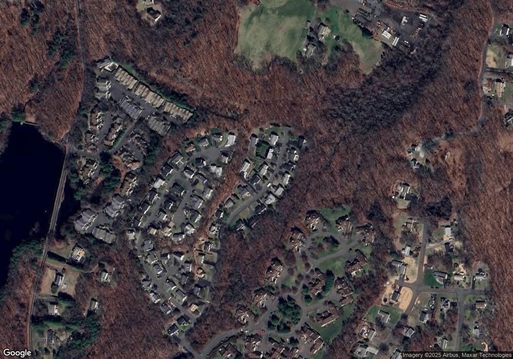
Map
Nearby Homes
- 31 Greystone
- 5 Greystone
- 88 Kings Hwy
- 19 Pine Needle Dr Unit 19
- 5 Independence Dr
- 3 Maler Ave
- 82 Country Walk
- 305 Aspetuck Trail
- 315 Aspetuck Trail Unit 315
- 2 Brookview Heights Ct
- 93 Shelton Ave
- 33 Monroe St
- 111 Long Hill Ave
- 353 Green Rock
- 0 Riverview Ave
- 28 Ridge Ln
- 430 Owls Roost Unit 430
- 7 Liberty St
- 120 Maltby St Unit 1
- 16 Scotch Pine Dr
- 42 Basking Brook Ln
- 38 Basking Brook Ln
- 45 Basking Brook Ln
- 41 Basking Brook Ln
- 34 Basking Brook Ln
- 37 Basking Brook Ln
- 54 Basking Brook Ln
- 10 Hickory Hill
- 33 Basking Brook Ln
- 50 Basking Brook Ln
- 49 Basking Brook Ln
- 53 Basking Ridge Rd
- 14 Hickory Hill
- 30 Basking Brook Ln
- 30 Basking Brook Ln Unit 30
- 18 Hickory Hill
- 53 Basking Brook Ln
- 62 Basking Brook Ln
- 26 Basking Brook Ln
- 6 Hickory Hill
Your Personal Tour Guide
Ask me questions while you tour the home.