46 Bentley Rd Buchanan, GA 30113
Estimated Value: $393,000 - $530,055
3
Beds
2
Baths
2,075
Sq Ft
$225/Sq Ft
Est. Value
About This Home
This home is located at 46 Bentley Rd, Buchanan, GA 30113 and is currently estimated at $466,018, approximately $224 per square foot. 46 Bentley Rd is a home with nearby schools including Haralson County High School.
Ownership History
Date
Name
Owned For
Owner Type
Purchase Details
Closed on
Oct 22, 2014
Sold by
Mosley Nick Dewayne
Bought by
Dellorso Matthew Wayne and Dellorso Crystal Gail
Current Estimated Value
Purchase Details
Closed on
Jan 21, 2003
Sold by
Sanders James H and Sanders Kay
Bought by
Mosley Hoyt and Nick Dewayne
Purchase Details
Closed on
Jul 2, 1998
Sold by
Kirk Earl B
Bought by
Sanders James H and Sanders Kay
Purchase Details
Closed on
May 28, 1998
Sold by
Kirk Timothy W
Bought by
Sanders James H and Sanders Kay
Purchase Details
Closed on
Apr 2, 1998
Sold by
Crook Max W
Bought by
Crook Max W
Purchase Details
Closed on
Aug 25, 1990
Bought by
Crook Max W
Create a Home Valuation Report for This Property
The Home Valuation Report is an in-depth analysis detailing your home's value as well as a comparison with similar homes in the area
Purchase History
| Date | Buyer | Sale Price | Title Company |
|---|---|---|---|
| Dellorso Matthew Wayne | $80,000 | -- | |
| Mosley Hoyt | $18,000 | -- | |
| Mosley Hoyt | $14,700 | -- | |
| Sanders James H | $7,900 | -- | |
| Sanders James H | $12,000 | -- | |
| Kirk Timothy W | $9,000 | -- | |
| Crook Max W | $7,400 | -- | |
| Crook Max W | $2,000 | -- |
Source: Public Records
Tax History
| Year | Tax Paid | Tax Assessment Tax Assessment Total Assessment is a certain percentage of the fair market value that is determined by local assessors to be the total taxable value of land and additions on the property. | Land | Improvement |
|---|---|---|---|---|
| 2025 | $4,258 | $236,052 | $41,639 | $194,413 |
| 2024 | $4,258 | $166,240 | $13,180 | $153,060 |
| 2023 | $4,262 | $160,949 | $10,955 | $149,994 |
| 2022 | $3,364 | $127,461 | $10,955 | $116,506 |
| 2021 | $3,335 | $121,389 | $10,955 | $110,434 |
| 2020 | $3,382 | $122,535 | $10,955 | $111,580 |
| 2019 | $3,211 | $112,215 | $10,955 | $101,260 |
| 2018 | $3,344 | $115,151 | $13,891 | $101,260 |
| 2017 | $3,279 | $100,835 | $13,891 | $86,944 |
| 2016 | $395 | $12,887 | $12,887 | $0 |
| 2015 | $395 | $12,887 | $12,887 | $0 |
| 2014 | -- | $12,887 | $12,887 | $0 |
Source: Public Records
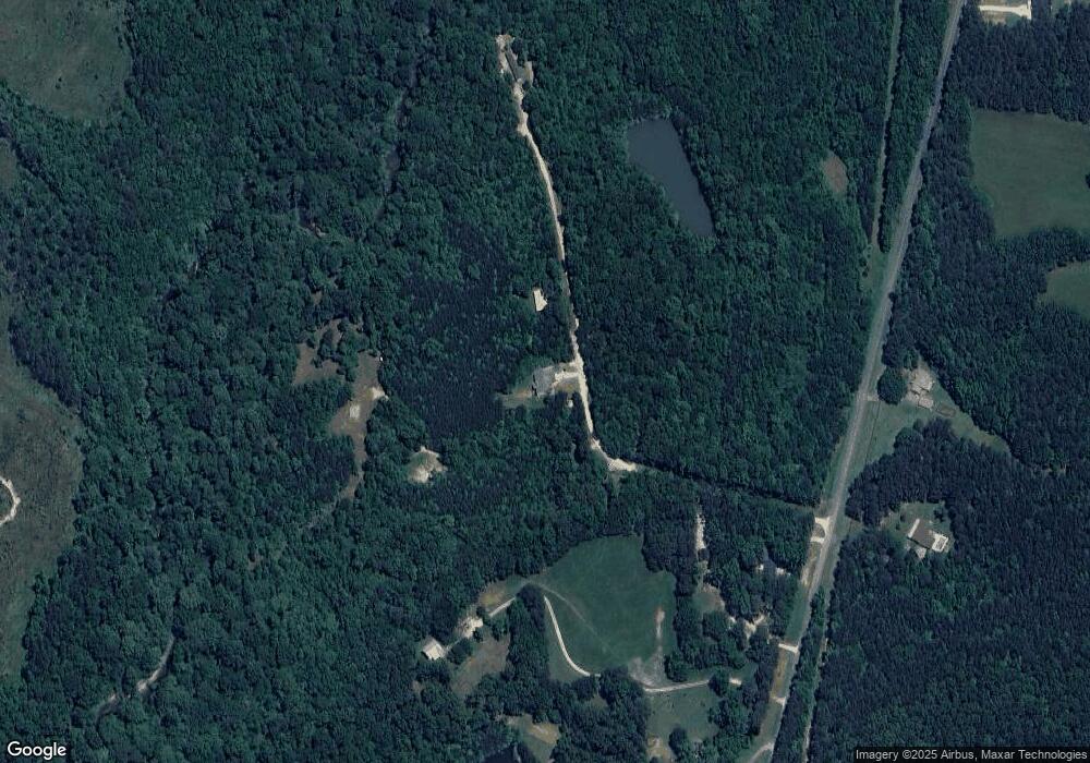
Map
Nearby Homes
- 1470 Ben Davis Rd
- 0 Hutcheson Road Off
- 1475 Ben Davis Rd
- 420 Ed Church Rd
- 33 Tolbert Rd
- 73 Friendship Church Rd
- 3462 Vinson Mountain Rd
- 1225 Coppermine Rd
- 1806 Browning Rd
- 0000 Corinth-Five Points Rd
- 0 Corinth Five Points Rd Unit 10704513
- None Maner Rd
- 265 Evans Dr
- 748 Maner Rd
- 327 Jeffers Rd
- 0 Allgood Church Rd Unit 144628
- 0 Allgood Church Rd Unit 26324021
- 295 Miller Path
- 342 Miller Path
- 62 Joe Rowell Rd
- 2260 Rockmart Rd
- 48 Bentley Rd
- 65 Bentley Rd
- 2284 Rockmart Rd
- 2274 Rockmart Rd
- 50 Bentley Rd
- 2371 Rockmart Rd
- 2354 Rockmart Rd
- 39 Estep Rd
- 2495 Rockmart Rd
- 2091 Rockmart Rd
- 369 Oscar Gentry Rd
- 2523 Rockmart Rd
- 2525 Rockmart Rd
- 2052 Rockmart Rd
- 2035 Rockmart Rd
- 276 Oscar Gentry Rd
- 463 Bill Gentry Rd
- 2033 Rockmart Rd
- 20 Maple Ridge Ln
Your Personal Tour Guide
Ask me questions while you tour the home.