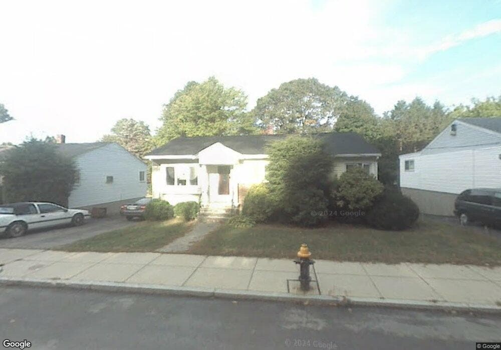
46 Brockton St Mattapan, MA 02126
Southern Mattapan NeighborhoodEstimated Value: $614,000 - $662,753
3
Beds
2
Baths
1,578
Sq Ft
$402/Sq Ft
Est. Value
About This Home
This home is located at 46 Brockton St, Mattapan, MA 02126 and is currently estimated at $634,938, approximately $402 per square foot. 46 Brockton St is a home located in Suffolk County with nearby schools including KIPP Academy Boston Charter School and Berea Seventh-day Adventist Academy.
Ownership History
Date
Name
Owned For
Owner Type
Purchase Details
Closed on
Apr 3, 1995
Sold by
Hoover Clarence C and Hoover Theresa D
Bought by
Israel Kenneth and Hoover Yvette T R
Current Estimated Value
Home Financials for this Owner
Home Financials are based on the most recent Mortgage that was taken out on this home.
Original Mortgage
$115,500
Interest Rate
8.8%
Mortgage Type
Purchase Money Mortgage
Create a Home Valuation Report for This Property
The Home Valuation Report is an in-depth analysis detailing your home's value as well as a comparison with similar homes in the area
Home Values in the Area
Average Home Value in this Area
Purchase History
| Date | Buyer | Sale Price | Title Company |
|---|---|---|---|
| Israel Kenneth | $115,500 | -- |
Source: Public Records
Mortgage History
| Date | Status | Borrower | Loan Amount |
|---|---|---|---|
| Closed | Israel Kenneth | $115,500 |
Source: Public Records
Tax History Compared to Growth
Tax History
| Year | Tax Paid | Tax Assessment Tax Assessment Total Assessment is a certain percentage of the fair market value that is determined by local assessors to be the total taxable value of land and additions on the property. | Land | Improvement |
|---|---|---|---|---|
| 2025 | $6,780 | $585,500 | $177,700 | $407,800 |
| 2024 | $5,865 | $538,100 | $174,000 | $364,100 |
| 2023 | $5,502 | $512,300 | $165,700 | $346,600 |
| 2022 | $5,161 | $474,400 | $153,400 | $321,000 |
| 2021 | $4,645 | $435,300 | $146,100 | $289,200 |
| 2020 | $4,413 | $417,900 | $144,300 | $273,600 |
| 2019 | $4,237 | $402,000 | $108,200 | $293,800 |
| 2018 | $3,937 | $375,700 | $108,200 | $267,500 |
| 2017 | $3,649 | $344,600 | $108,200 | $236,400 |
| 2016 | $3,446 | $313,300 | $108,200 | $205,100 |
| 2015 | $3,482 | $287,500 | $102,000 | $185,500 |
| 2014 | $3,316 | $263,600 | $102,000 | $161,600 |
Source: Public Records
Map
Nearby Homes
- 95 Woodhaven St
- 20 Monterey Ave
- 10 Brockton St
- 100 Itasca St
- 60 and 64 Monterey Ave
- 770 Cummins Hwy Unit 1
- 770 Cummins Hwy Unit 22
- 116 Almont St
- 1465 Blue Hill Ave
- 231 Itasca St
- 12 Hiawatha Rd
- 839-843 Cummins Hwy
- 14-14R Kennebec St
- 49 Fottler Rd
- 58 Mattapan St
- 45 1st Ave Unit 111
- 10 Itasca St
- 710 Walk Hill St
- 4 Crossman St Unit 4
- 11 French St