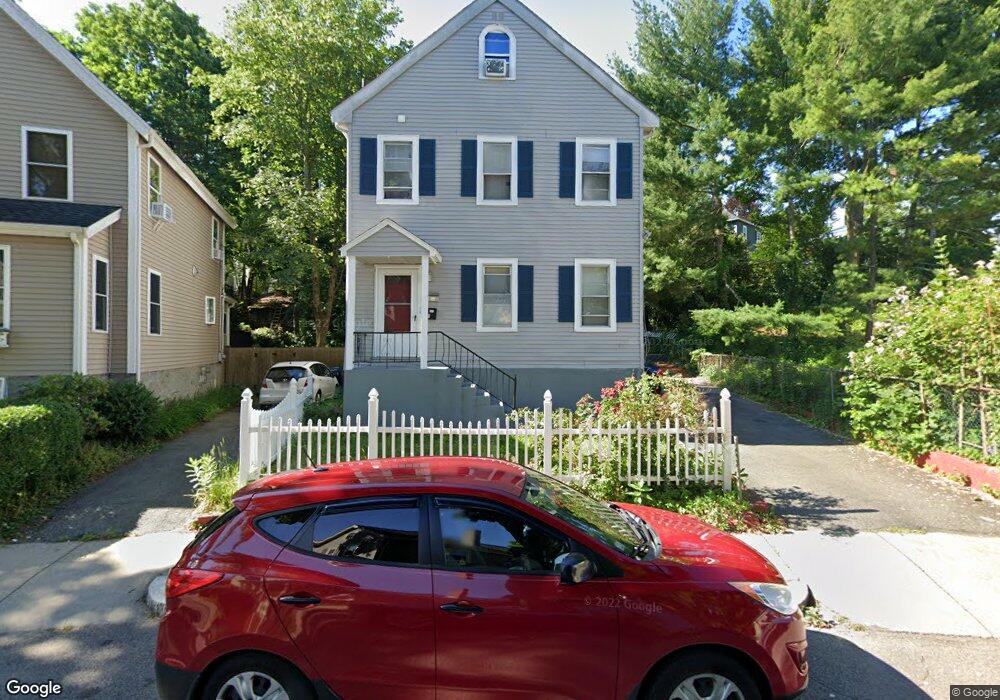
46 Brookdale St Roslindale, MA 02131
Roslindale NeighborhoodEstimated Value: $777,000 - $1,037,000
4
Beds
3
Baths
1,902
Sq Ft
$462/Sq Ft
Est. Value
About This Home
This home is located at 46 Brookdale St, Roslindale, MA 02131 and is currently estimated at $879,134, approximately $462 per square foot. 46 Brookdale St is a home located in Suffolk County with nearby schools including Brooke Charter School Roslindale, KIPP Academy Boston Charter School, and Roxbury Preparatory Charter School.
Ownership History
Date
Name
Owned For
Owner Type
Purchase Details
Closed on
Jul 3, 2000
Sold by
Prepetit Robert F and Prepetit Mireilee
Bought by
Youyou Clairta C and Duprelien Jean G
Current Estimated Value
Purchase Details
Closed on
Aug 21, 1997
Sold by
Konstantinidis Helen
Bought by
Prepetit Robert F and Prepetit Mireille
Purchase Details
Closed on
Aug 22, 1988
Sold by
Alexandropoulos G
Bought by
Gianasmidis Chris
Create a Home Valuation Report for This Property
The Home Valuation Report is an in-depth analysis detailing your home's value as well as a comparison with similar homes in the area
Home Values in the Area
Average Home Value in this Area
Purchase History
| Date | Buyer | Sale Price | Title Company |
|---|---|---|---|
| Youyou Clairta C | $225,000 | -- | |
| Prepetit Robert F | $150,000 | -- | |
| Gianasmidis Chris | $160,000 | -- |
Source: Public Records
Mortgage History
| Date | Status | Borrower | Loan Amount |
|---|---|---|---|
| Open | Gianasmidis Chris | $240,000 | |
| Closed | Gianasmidis Chris | $230,000 | |
| Closed | Gianasmidis Chris | $219,000 |
Source: Public Records
Tax History Compared to Growth
Tax History
| Year | Tax Paid | Tax Assessment Tax Assessment Total Assessment is a certain percentage of the fair market value that is determined by local assessors to be the total taxable value of land and additions on the property. | Land | Improvement |
|---|---|---|---|---|
| 2025 | $8,685 | $750,000 | $244,600 | $505,400 |
| 2024 | $8,016 | $735,400 | $230,400 | $505,000 |
| 2023 | $7,593 | $707,000 | $221,500 | $485,500 |
| 2022 | $6,993 | $642,700 | $201,300 | $441,400 |
| 2021 | $6,723 | $630,100 | $197,400 | $432,700 |
| 2020 | $5,760 | $545,500 | $177,900 | $367,600 |
| 2019 | $5,424 | $514,600 | $143,700 | $370,900 |
| 2018 | $5,089 | $485,600 | $143,700 | $341,900 |
| 2017 | $5,040 | $475,900 | $143,700 | $332,200 |
| 2016 | $4,847 | $440,600 | $143,700 | $296,900 |
| 2015 | $4,547 | $375,500 | $139,600 | $235,900 |
| 2014 | $4,349 | $345,700 | $139,600 | $206,100 |
Source: Public Records
Map
Nearby Homes
- 117 Sycamore St Unit 1
- 108 Florence St Unit 3
- 108 Florence St Unit 1
- 187 Florence St Unit 2L
- 27 Rowe St
- 67 Cummins Hwy Unit 101
- 67 Cummins Hwy Unit 304
- 21 Bexley Rd
- 391 Hyde Park Ave Unit 112
- 472 Hyde Park Ave Unit 472
- 41 Hawthorne St Unit 2
- 375 Hyde Park Ave Unit 3
- 39 Harrison St Unit B
- 28-30 Mount Hope St
- 32 Jewett St
- 543 Hyde Park Ave Unit 1
- 250 Poplar St Unit 1
- 34 Sammett Ave
- 20 Taft Hill Park Unit 5
- 12 Wyvern St Unit 2
- 42 Brookdale St
- 64 Sherwood St
- 52 Brookdale St
- 68 Sherwood St
- 68 Sherwood St
- 68 Sherwood St Unit 1
- 40 Brookdale St Unit 1
- 40 Brookdale St Unit 2
- 40 Brookdale St
- 72 Sherwood St
- 41 Brookdale St
- 53 Prospect Ave
- 56 Brookdale St Unit 58
- 47 Prospect Ave
- 55 Prospect Ave
- 76 Sherwood St
- 37 Brookdale St
- 36 Brookdale St
- 57 Prospect Ave
- 43 Prospect Ave