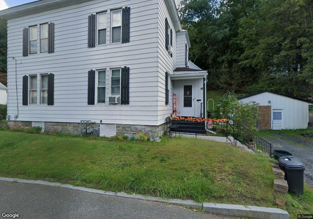
46 Brooklyn St Unit 48 North Adams, MA 01247
Estimated Value: $199,000 - $240,000
6
Beds
3
Baths
3,067
Sq Ft
$73/Sq Ft
Est. Value
About This Home
This home is located at 46 Brooklyn St Unit 48, North Adams, MA 01247 and is currently estimated at $222,465, approximately $72 per square foot. 46 Brooklyn St Unit 48 is a home located in Berkshire County with nearby schools including Greylock Elementary School and Drury High School.
Ownership History
Date
Name
Owned For
Owner Type
Purchase Details
Closed on
Aug 3, 2011
Sold by
Demarco Joseph W and Demarco Rita D
Bought by
Pierce Ronald J and Pierce Tracy L
Current Estimated Value
Home Financials for this Owner
Home Financials are based on the most recent Mortgage that was taken out on this home.
Original Mortgage
$108,000
Outstanding Balance
$42,545
Interest Rate
4.51%
Mortgage Type
Purchase Money Mortgage
Estimated Equity
$179,920
Create a Home Valuation Report for This Property
The Home Valuation Report is an in-depth analysis detailing your home's value as well as a comparison with similar homes in the area
Home Values in the Area
Average Home Value in this Area
Purchase History
| Date | Buyer | Sale Price | Title Company |
|---|---|---|---|
| Pierce Ronald J | $138,000 | -- | |
| Pierce Ronald J | $138,000 | -- |
Source: Public Records
Mortgage History
| Date | Status | Borrower | Loan Amount |
|---|---|---|---|
| Open | Pierce Ronald J | $108,000 | |
| Closed | Pierce Ronald J | $108,000 | |
| Previous Owner | Pierce Ronald J | $75,000 | |
| Previous Owner | Pierce Ronald J | $34,000 |
Source: Public Records
Tax History Compared to Growth
Tax History
| Year | Tax Paid | Tax Assessment Tax Assessment Total Assessment is a certain percentage of the fair market value that is determined by local assessors to be the total taxable value of land and additions on the property. | Land | Improvement |
|---|---|---|---|---|
| 2025 | $3,529 | $211,200 | $33,400 | $177,800 |
| 2024 | $3,313 | $193,300 | $30,500 | $162,800 |
| 2023 | $3,060 | $173,200 | $30,500 | $142,700 |
| 2022 | $2,970 | $160,300 | $30,500 | $129,800 |
| 2021 | $2,764 | $148,500 | $28,300 | $120,200 |
| 2020 | $2,640 | $141,800 | $27,000 | $114,800 |
| 2019 | $2,647 | $138,500 | $27,600 | $110,900 |
| 2018 | $2,506 | $142,100 | $29,600 | $112,500 |
| 2017 | $2,486 | $140,700 | $29,300 | $111,400 |
| 2016 | $2,447 | $140,700 | $29,300 | $111,400 |
| 2015 | $2,372 | $142,100 | $30,300 | $111,800 |
Source: Public Records
Map
Nearby Homes
- 24 Bryant St
- 333 Eagle St
- 70-72 Chase Ave
- 166 Houghton St
- 137 Bracewell Ave
- 50 1/2 Williams St
- 51 Bracewell Ave
- 33-35 Hall St
- 54 Marietta St
- 22 Marietta St
- 24 Franklin St
- 450 N Eagle St
- 0 River St
- 31 Millard Ave
- 20 Wesleyan St
- 38 Wesleyan St
- 97 Barth St
- 35 Jackson St
- 101 Prospect St
- 19 N Church St Unit 12
- 42 Brooklyn St
- 49 Brooklyn St
- 41 Brooklyn St
- 53 Brooklyn St Unit 55
- 53-55 Brooklyn St
- 70 Brooklyn St
- 61 Brooklyn St
- 32 Brooklyn St
- 65 Brooklyn St
- 23 Brooklyn St Unit 25
- 76 Brooklyn St
- 278 Houghton St
- 69 Brooklyn St
- 266 N Houghton St
- 266 Houghton St Unit 268
- 288 Houghton St
- 73 Brooklyn St
- 111 Hospital Ave
- 282 Houghton St Unit 286
- 75 Brooklyn St