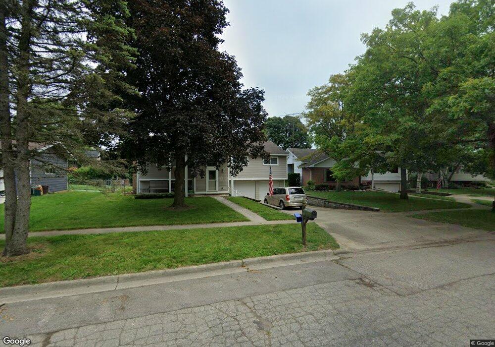
46 Butternut Ct Chelsea, MI 48118
Estimated Value: $344,695 - $411,000
3
Beds
3
Baths
1,868
Sq Ft
$200/Sq Ft
Est. Value
About This Home
This home is located at 46 Butternut Ct, Chelsea, MI 48118 and is currently estimated at $373,424, approximately $199 per square foot. 46 Butternut Ct is a home located in Washtenaw County with nearby schools including North Creek Elementary School, South Meadows Elementary School, and Beach Middle School.
Ownership History
Date
Name
Owned For
Owner Type
Purchase Details
Closed on
Mar 1, 2018
Sold by
Bareis Andrea C
Bought by
Bareis Michael W
Current Estimated Value
Home Financials for this Owner
Home Financials are based on the most recent Mortgage that was taken out on this home.
Original Mortgage
$182,000
Outstanding Balance
$156,553
Interest Rate
4.45%
Estimated Equity
$216,871
Purchase Details
Closed on
Apr 6, 1999
Sold by
Village Chelsea
Create a Home Valuation Report for This Property
The Home Valuation Report is an in-depth analysis detailing your home's value as well as a comparison with similar homes in the area
Home Values in the Area
Average Home Value in this Area
Purchase History
| Date | Buyer | Sale Price | Title Company |
|---|---|---|---|
| Bareis Michael W | -- | None Available | |
| -- | $160,000 | -- |
Source: Public Records
Mortgage History
| Date | Status | Borrower | Loan Amount |
|---|---|---|---|
| Open | -- | $182,000 | |
| Closed | Bareis Michael W | $182,000 |
Source: Public Records
Tax History Compared to Growth
Tax History
| Year | Tax Paid | Tax Assessment Tax Assessment Total Assessment is a certain percentage of the fair market value that is determined by local assessors to be the total taxable value of land and additions on the property. | Land | Improvement |
|---|---|---|---|---|
| 2025 | $2,593 | $139,400 | $0 | $0 |
| 2024 | $2,517 | $130,500 | $0 | $0 |
| 2023 | $4,506 | $122,100 | $0 | $0 |
| 2022 | $3,920 | $105,900 | $0 | $0 |
| 2021 | $4,212 | $104,300 | $0 | $0 |
| 2020 | $4,158 | $107,800 | $0 | $0 |
| 2019 | $4,059 | $104,200 | $104,200 | $0 |
| 2018 | $3,934 | $97,000 | $0 | $0 |
| 2017 | $0 | $93,900 | $0 | $0 |
| 2016 | $0 | $77,651 | $0 | $0 |
| 2015 | -- | $77,419 | $0 | $0 |
| 2014 | -- | $81,600 | $0 | $0 |
| 2013 | -- | $81,600 | $0 | $0 |
Source: Public Records
Map
Nearby Homes
- 51 Chestnut Dr
- 889 Mckinley Rd
- 5975 Sibley Rd
- 316 N East St Unit 1 and 2
- 657 Swift Creek Dr
- Juliet Plan at Heritage Farms
- Sawyer Plan at Heritage Farms
- 516 Heritage Farms Blvd
- Aubrey Plan at Heritage Farms
- Brooklyn Plan at Heritage Farms
- Peyton Plan at Heritage Farms
- 651 Countryside Dr
- 660 Countryside Dr
- 684 Countryside Dr
- 725 Knollwood Bend
- 719 Knollwood Bend
- 707 Knollwood Bend
- 232 South St
- 706 Knollwood Bend
- 0 N Freer Rd Unit 25015352
- 48 Butternut Ct
- 44 Butternut Ct
- 47 Chestnut Dr
- 49 Chestnut Dr
- 50 Butternut Ct
- 45 Chestnut Dr
- 42 Butternut Ct
- 45 Butternut Ct
- 43 Chestnut Dr
- 47 Butternut Ct
- 52 Butternut Ct
- 43 Butternut Ct
- 41 Chestnut Dr
- 53 Chestnut Dr
- 49 Butternut Ct
- 40 Butternut Ct
- 41 Butternut Ct
- 54 Butternut Ct
- 48 Chestnut Dr
- 23 Chestnut Dr