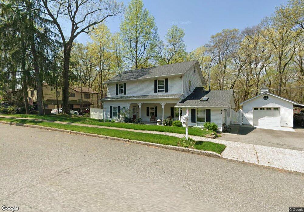
46 Cannonball Rd Wanaque, NJ 07465
Estimated Value: $532,275 - $659,000
Studio
--
Bath
2,181
Sq Ft
$281/Sq Ft
Est. Value
About This Home
This home is located at 46 Cannonball Rd, Wanaque, NJ 07465 and is currently estimated at $612,069, approximately $280 per square foot. 46 Cannonball Rd is a home located in Passaic County with nearby schools including Lakeland Reg High School.
Ownership History
Date
Name
Owned For
Owner Type
Purchase Details
Closed on
Jul 20, 2000
Sold by
Adams Steven M and Adams Claire J
Bought by
Davidson Eileen
Current Estimated Value
Home Financials for this Owner
Home Financials are based on the most recent Mortgage that was taken out on this home.
Original Mortgage
$150,000
Outstanding Balance
$53,409
Interest Rate
8.16%
Estimated Equity
$558,660
Purchase Details
Closed on
Jun 4, 1998
Sold by
Grillo Michael S and Grillo Christine
Bought by
Adams Steven M and Adams Claire J
Home Financials for this Owner
Home Financials are based on the most recent Mortgage that was taken out on this home.
Original Mortgage
$171,200
Interest Rate
6.9%
Create a Home Valuation Report for This Property
The Home Valuation Report is an in-depth analysis detailing your home's value as well as a comparison with similar homes in the area
Home Values in the Area
Average Home Value in this Area
Purchase History
| Date | Buyer | Sale Price | Title Company |
|---|---|---|---|
| Davidson Eileen | $239,900 | Chicago Title Insurance Co | |
| Adams Steven M | $214,000 | -- |
Source: Public Records
Mortgage History
| Date | Status | Borrower | Loan Amount |
|---|---|---|---|
| Open | Davidson Eileen | $150,000 | |
| Previous Owner | Adams Steven M | $171,200 |
Source: Public Records
Tax History Compared to Growth
Tax History
| Year | Tax Paid | Tax Assessment Tax Assessment Total Assessment is a certain percentage of the fair market value that is determined by local assessors to be the total taxable value of land and additions on the property. | Land | Improvement |
|---|---|---|---|---|
| 2025 | $11,602 | $269,000 | $118,200 | $150,800 |
| 2024 | $11,371 | $269,000 | $118,200 | $150,800 |
| 2022 | $11,131 | $269,000 | $118,200 | $150,800 |
| 2021 | $10,889 | $269,000 | $118,200 | $150,800 |
| 2020 | $10,768 | $269,000 | $118,200 | $150,800 |
| 2019 | $10,510 | $269,000 | $118,200 | $150,800 |
| 2018 | $10,303 | $269,000 | $118,200 | $150,800 |
| 2017 | $10,061 | $269,000 | $118,200 | $150,800 |
| 2016 | $9,813 | $269,000 | $118,200 | $150,800 |
| 2015 | $9,673 | $269,000 | $118,200 | $150,800 |
| 2014 | $9,482 | $269,000 | $118,200 | $150,800 |
Source: Public Records
Map
Nearby Homes
- 3 Stephens Lake Rd
- 18 Schirra Dr
- 24 Fountain Dr
- 174 Conklintown Rd
- 7B Brookside Heights Unit B
- 190 Meadowbrook Ave
- 50 Roger Ct
- 18 Juniper Terrace
- 36 Willow Way
- 450 Skyline Lake Dr
- 1407 Warrens Way
- 1116 Warrens Way
- 32 Grove St
- 3121 Warrens Way
- 3214 Warrens Way
- 4321 Warrens Way Unit 321
- 4321 Warrens Way Unit 4321
- 5201 Warrens Way
- 4203 Warrens Way Unit 203
- 4203 Warrens Way
- 48 Cannonball Rd
- 47 Cannonball Rd
- 50 Cannonball Rd
- 49 Cannonball Rd
- 45 Cannonball Rd
- 44 Cannonball Rd
- 51 Cannonball Rd
- 52 Cannonball Rd
- 43 Cannonball Rd
- 53 Cannonball Rd
- 41 Cannonball Rd
- 54 Cannonball Rd
- 40 Wolfe Dr
- 40 Cannonball Rd
- 44 Wolfe Dr
- 38 Wolfe Dr
- 42 Wolfe Dr
- 55 Cannonball Rd
- 37 Cannonball Rd
- 36 Wolfe Dr