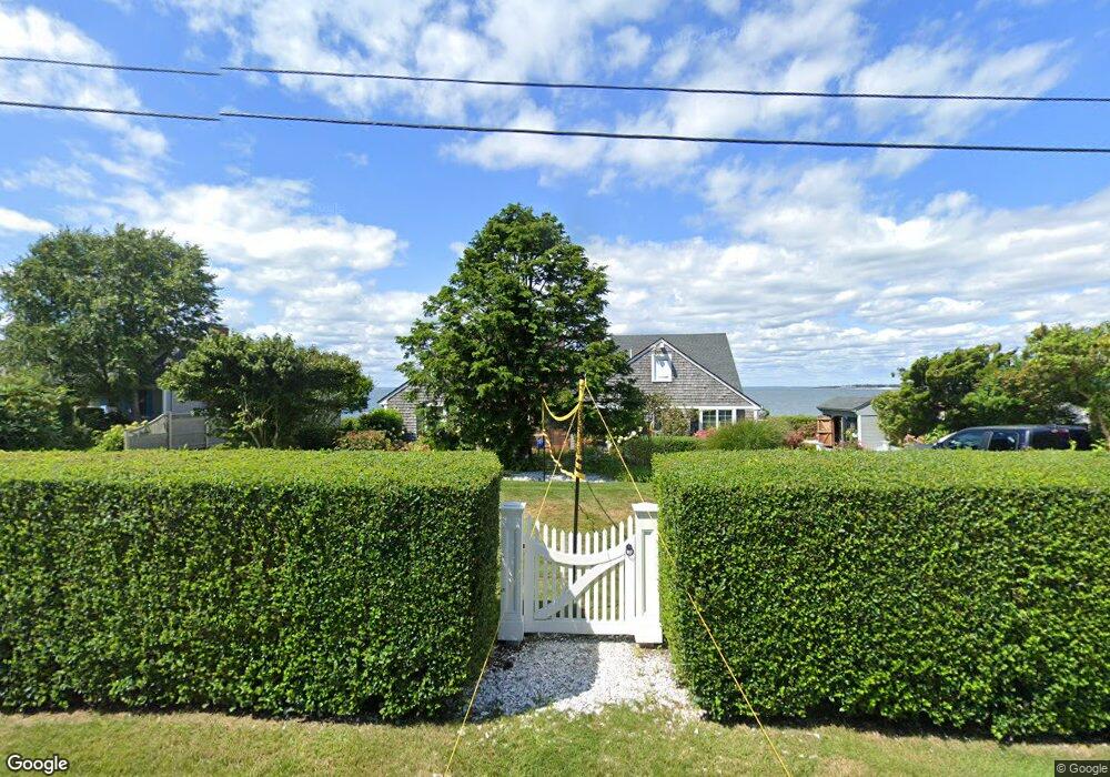
46 Cape Codder Rd Falmouth, MA 02540
Estimated Value: $2,312,000 - $2,876,000
4
Beds
4
Baths
3,937
Sq Ft
$682/Sq Ft
Est. Value
About This Home
This home is located at 46 Cape Codder Rd, Falmouth, MA 02540 and is currently estimated at $2,686,164, approximately $682 per square foot. 46 Cape Codder Rd is a home located in Barnstable County with nearby schools including Mullen-Hall School, Morse Pond School, and Lawrence School.
Ownership History
Date
Name
Owned For
Owner Type
Purchase Details
Closed on
Sep 16, 2005
Sold by
Esther C Feintuck Ret and Feintuck
Bought by
Levay James
Current Estimated Value
Purchase Details
Closed on
Sep 17, 1990
Sold by
Doe Charles F
Bought by
Feintuck Esther C
Create a Home Valuation Report for This Property
The Home Valuation Report is an in-depth analysis detailing your home's value as well as a comparison with similar homes in the area
Home Values in the Area
Average Home Value in this Area
Purchase History
| Date | Buyer | Sale Price | Title Company |
|---|---|---|---|
| Levay James | $2,100,000 | -- | |
| Levay James | $2,100,000 | -- | |
| Feintuck Esther C | $600,000 | -- |
Source: Public Records
Mortgage History
| Date | Status | Borrower | Loan Amount |
|---|---|---|---|
| Previous Owner | Feintuck Esther C | $167,000 | |
| Previous Owner | Feintuck Esther C | $172,000 | |
| Previous Owner | Feintuck Esther C | $200,000 | |
| Previous Owner | Feintuck Esther C | $400,000 |
Source: Public Records
Tax History Compared to Growth
Tax History
| Year | Tax Paid | Tax Assessment Tax Assessment Total Assessment is a certain percentage of the fair market value that is determined by local assessors to be the total taxable value of land and additions on the property. | Land | Improvement |
|---|---|---|---|---|
| 2025 | $14,993 | $2,554,100 | $1,605,400 | $948,700 |
| 2024 | $15,572 | $2,479,600 | $1,605,400 | $874,200 |
| 2023 | $15,758 | $2,277,100 | $1,605,400 | $671,700 |
| 2022 | $17,586 | $2,184,600 | $1,612,600 | $572,000 |
| 2021 | $17,555 | $2,065,300 | $1,542,500 | $522,800 |
| 2020 | $16,536 | $1,925,000 | $1,402,200 | $522,800 |
| 2019 | $16,437 | $1,920,200 | $1,402,200 | $518,000 |
| 2018 | $16,251 | $1,889,600 | $1,402,200 | $487,400 |
| 2017 | $15,968 | $1,872,000 | $1,402,200 | $469,800 |
| 2016 | $15,669 | $1,872,000 | $1,402,200 | $469,800 |
| 2015 | $15,332 | $1,872,000 | $1,402,200 | $469,800 |
| 2014 | $14,985 | $1,838,600 | $1,402,200 | $436,400 |
Source: Public Records
Map
Nearby Homes
- 50 Cape Codder Rd
- 42 Cape Codder Rd
- 45 Cape Codder Rd
- 52 Cape Codder Rd
- 49 Cape Codder Rd
- 41 Cape Codder Rd
- 40 Cape Codder Rd
- 53 Cape Codder Rd
- 39 Cape Codder Rd
- 39 Cape Codder Rd Unit Lot 4
- 58 Cape Codder Rd
- 36 Cape Codder Rd
- 6 Spindrift Hill
- 8 Spindrift Hill
- 8 Spindrift Hill
- 33 Cape Codder Rd Unit C
- 33 Cape Codder Rd Unit B
- 33 Cape Codder Rd Unit A
- 33 Cape Codder Rd Unit 33B
- 33 Cape Codder Rd Unit 33B