Estimated Value: $586,000 - $644,000
2
Beds
3
Baths
1,113
Sq Ft
$547/Sq Ft
Est. Value
About This Home
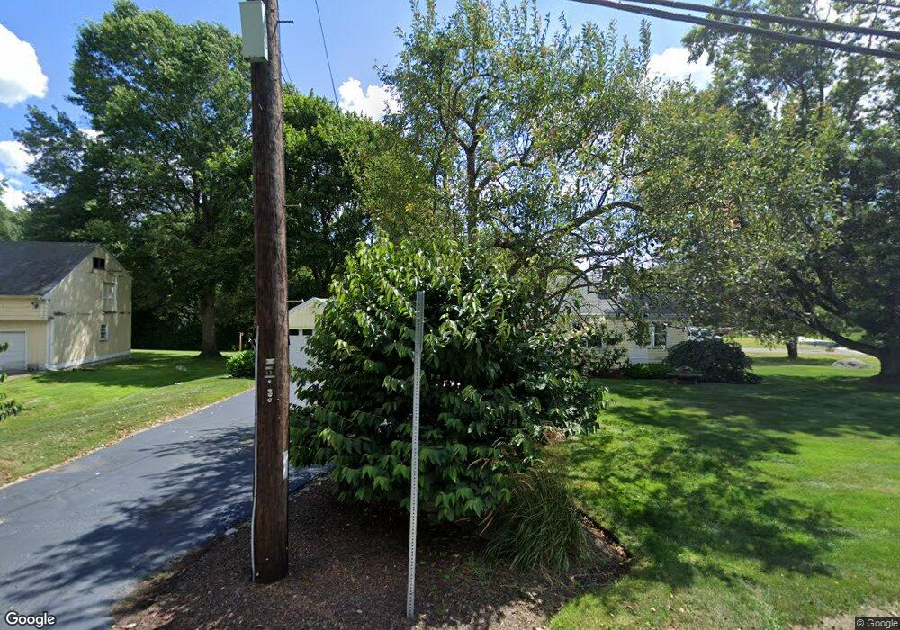
This home is located at 46 Central St, Acton, MA 01720 and is currently estimated at $609,090, approximately $547 per square foot. 46 Central St is a home located in Middlesex County with nearby schools including Acton-Boxborough Regional High School, Maynard Knowledge Beginnings, and The Imago School.
Ownership History
Date
Name
Owned For
Owner Type
Purchase Details
Closed on
Nov 19, 1993
Sold by
Lowell Peter C and Lowell Marilyn K
Bought by
Kutasz Charles and Kutasz Donna M
Current Estimated Value
Home Financials for this Owner
Home Financials are based on the most recent Mortgage that was taken out on this home.
Original Mortgage
$129,000
Interest Rate
6.77%
Mortgage Type
Purchase Money Mortgage
Create a Home Valuation Report for This Property
The Home Valuation Report is an in-depth analysis detailing your home's value as well as a comparison with similar homes in the area
Home Values in the Area
Average Home Value in this Area
Purchase History
| Date | Buyer | Sale Price | Title Company |
|---|---|---|---|
| Kutasz Charles | $136,000 | -- |
Source: Public Records
Mortgage History
| Date | Status | Borrower | Loan Amount |
|---|---|---|---|
| Closed | Kutasz Charles | $129,000 | |
| Previous Owner | Kutasz Charles | $122,600 |
Source: Public Records
Tax History
| Year | Tax Paid | Tax Assessment Tax Assessment Total Assessment is a certain percentage of the fair market value that is determined by local assessors to be the total taxable value of land and additions on the property. | Land | Improvement |
|---|---|---|---|---|
| 2025 | $8,422 | $491,100 | $265,600 | $225,500 |
| 2024 | $8,015 | $480,800 | $265,600 | $215,200 |
| 2023 | $7,656 | $436,000 | $241,400 | $194,600 |
| 2022 | $7,601 | $390,800 | $209,900 | $180,900 |
| 2021 | $7,382 | $364,900 | $194,400 | $170,500 |
| 2020 | $6,930 | $360,200 | $194,400 | $165,800 |
| 2019 | $6,586 | $340,000 | $194,400 | $145,600 |
| 2018 | $6,178 | $318,800 | $194,400 | $124,400 |
| 2017 | $6,076 | $318,800 | $194,400 | $124,400 |
| 2016 | $5,769 | $300,000 | $194,400 | $105,600 |
| 2015 | $5,803 | $304,600 | $194,400 | $110,200 |
| 2014 | $5,829 | $299,700 | $194,400 | $105,300 |
Source: Public Records
Map
Nearby Homes
- 19 Railroad St Unit D2
- 19 Railroad St Unit C2
- 131 Main St
- 129 Main St Unit 129
- 25 Nylander Way
- 40 High St
- 71 Liberty St
- 7 Kelley Rd
- 246 Main St Unit 2
- 70 River St
- 30 Brewster Ln
- 90 Willow St Unit 1
- 92 Willow St Unit 3
- 92 Willow St Unit 2
- 63 Conant St
- 285 Central St Unit 285
- 2 Marble Farm Rd
- 132 Parker St Unit G5
- 18 Hayward Rd
- 3 Drummer Rd Unit B3