46 Cimmaron Dr Saint Charles, MO 63304
Estimated Value: $282,000 - $329,000
3
Beds
2
Baths
1,092
Sq Ft
$274/Sq Ft
Est. Value
About This Home
This home is located at 46 Cimmaron Dr, Saint Charles, MO 63304 and is currently estimated at $298,930, approximately $273 per square foot. 46 Cimmaron Dr is a home located in St. Charles County with nearby schools including Warren Elementary School, Saeger Middle School, and Francis Howell Central High School.
Ownership History
Date
Name
Owned For
Owner Type
Purchase Details
Closed on
Dec 20, 2010
Sold by
Federal Home Loan Mortgage Corporation
Bought by
Jett David
Current Estimated Value
Home Financials for this Owner
Home Financials are based on the most recent Mortgage that was taken out on this home.
Original Mortgage
$82,600
Interest Rate
4.56%
Mortgage Type
Future Advance Clause Open End Mortgage
Purchase Details
Closed on
May 27, 2010
Sold by
Sands Scott R and Sands Vicky L
Bought by
Federal Home Loan Mortgage Corp
Purchase Details
Closed on
Aug 30, 2001
Sold by
Miller David D and Miller Vickie R
Bought by
Sands Scott R and Sands Vicky L
Home Financials for this Owner
Home Financials are based on the most recent Mortgage that was taken out on this home.
Original Mortgage
$125,750
Interest Rate
7%
Create a Home Valuation Report for This Property
The Home Valuation Report is an in-depth analysis detailing your home's value as well as a comparison with similar homes in the area
Home Values in the Area
Average Home Value in this Area
Purchase History
| Date | Buyer | Sale Price | Title Company |
|---|---|---|---|
| Jett David | $103,250 | Multiple | |
| Federal Home Loan Mortgage Corp | $120,650 | None Available | |
| Sands Scott R | -- | -- |
Source: Public Records
Mortgage History
| Date | Status | Borrower | Loan Amount |
|---|---|---|---|
| Closed | Jett David | $82,600 | |
| Previous Owner | Sands Scott R | $125,750 |
Source: Public Records
Tax History Compared to Growth
Tax History
| Year | Tax Paid | Tax Assessment Tax Assessment Total Assessment is a certain percentage of the fair market value that is determined by local assessors to be the total taxable value of land and additions on the property. | Land | Improvement |
|---|---|---|---|---|
| 2025 | $2,243 | $40,008 | -- | -- |
| 2024 | $2,243 | $37,357 | -- | -- |
| 2023 | $2,242 | $37,357 | $0 | $0 |
| 2022 | $2,035 | $31,471 | $0 | $0 |
| 2021 | $2,037 | $31,471 | $0 | $0 |
| 2020 | $1,898 | $28,362 | $0 | $0 |
| 2019 | $1,890 | $28,362 | $0 | $0 |
| 2018 | $1,837 | $26,346 | $0 | $0 |
| 2017 | $1,822 | $26,346 | $0 | $0 |
| 2016 | $1,841 | $25,652 | $0 | $0 |
| 2015 | $1,809 | $25,652 | $0 | $0 |
| 2014 | $1,719 | $23,642 | $0 | $0 |
Source: Public Records
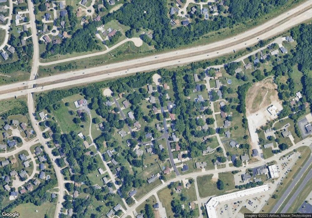
Map
Nearby Homes
- 344 Mason Ridge Dr
- 102 Deer Meadow Ct
- 1622 Piedmont Cir Unit 5C
- 25 Terre Verte Ct
- 507 Roth Ct
- 127 Cedar Mill Dr
- 5504 Dressel Dr
- 6024 Mo-N Unit Lot 2
- 6025 Mo-N Unit Lot 1
- 5576 Wavecrest Cir
- 301 Switchgrass Landing Ln
- 0 Universal Design Prairie Bluff Unit MAR24041208
- Rosemont Plan at Prairie Bluff - Heritage Collection
- Sierra Plan at Prairie Bluff - Heritage Collection
- Sierra – Universal Design Plan at Prairie Bluff - Heritage Collection
- Pierce Plan at Prairie Bluff - Heritage Collection
- Lancaster Plan at Prairie Bluff - Heritage Collection
- Chesapeake Plan at Prairie Bluff - Heritage Collection
- Windsor Plan at Prairie Bluff - Heritage Collection
- Bridgeport Plan at Prairie Bluff - Heritage Collection