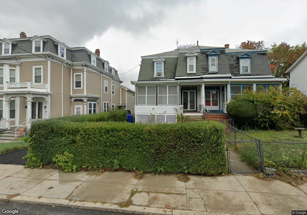
46 Clifford St Roxbury, MA 02119
Sav-Mor NeighborhoodEstimated Value: $631,586 - $754,000
4
Beds
1
Bath
2,220
Sq Ft
$314/Sq Ft
Est. Value
About This Home
This home is located at 46 Clifford St, Roxbury, MA 02119 and is currently estimated at $698,147, approximately $314 per square foot. 46 Clifford St is a home located in Suffolk County with nearby schools including Bridge Boston Charter School and City on a Hill Charter Public School.
Ownership History
Date
Name
Owned For
Owner Type
Purchase Details
Closed on
Mar 3, 2025
Sold by
Christmas Dianna
Bought by
41-46 Clifford Street Ret and Christmas
Current Estimated Value
Purchase Details
Closed on
Jan 31, 2025
Sold by
46 Clifford Street Irt and Christmas
Bought by
Christmas Dianna
Purchase Details
Closed on
Dec 1, 2023
Sold by
Christmas Dianna
Bought by
46 Clifford Street Irt and Christmas
Purchase Details
Closed on
Mar 20, 2020
Sold by
Lair and Pina Elsie
Bought by
Christmas Dianna
Create a Home Valuation Report for This Property
The Home Valuation Report is an in-depth analysis detailing your home's value as well as a comparison with similar homes in the area
Home Values in the Area
Average Home Value in this Area
Purchase History
| Date | Buyer | Sale Price | Title Company |
|---|---|---|---|
| 41-46 Clifford Street Ret | -- | None Available | |
| 41-46 Clifford Street Ret | -- | None Available | |
| Christmas Dianna | -- | None Available | |
| Christmas Dianna | -- | None Available | |
| 46 Clifford Street Irt | -- | None Available | |
| 46 Clifford Street Irt | -- | None Available | |
| Christmas Dianna | -- | None Available |
Source: Public Records
Tax History Compared to Growth
Tax History
| Year | Tax Paid | Tax Assessment Tax Assessment Total Assessment is a certain percentage of the fair market value that is determined by local assessors to be the total taxable value of land and additions on the property. | Land | Improvement |
|---|---|---|---|---|
| 2025 | $5,653 | $488,200 | $164,500 | $323,700 |
| 2024 | $4,907 | $450,200 | $142,000 | $308,200 |
| 2023 | $4,835 | $450,200 | $142,000 | $308,200 |
| 2022 | $4,453 | $409,300 | $129,100 | $280,200 |
| 2021 | $4,191 | $392,800 | $129,100 | $263,700 |
| 2020 | $3,628 | $343,600 | $113,600 | $230,000 |
| 2019 | $3,384 | $321,100 | $89,200 | $231,900 |
| 2018 | $3,060 | $292,000 | $89,200 | $202,800 |
| 2017 | $3,001 | $283,400 | $89,200 | $194,200 |
| 2016 | $2,969 | $269,900 | $89,200 | $180,700 |
| 2015 | $2,701 | $223,000 | $83,500 | $139,500 |
| 2014 | $2,724 | $216,500 | $83,500 | $133,000 |
Source: Public Records
Map
Nearby Homes
- 62 Clifford St Unit A
- 31 Alaska St
- 133 Blue Hill Ave
- 22 Alaska St
- Lot 84 Blue Hill Ave
- 59 Perrin St
- 59 Perrin St Unit 1
- 119 Blue Hill Ave
- 7 Langford Park Unit 3
- 30 Copeland St Unit 1
- 45 Woodville St
- 194 Blue Hill Ave
- 10 Rockland St Unit 4
- 79 W Cottage St
- 12 Gayland St
- 33 Copeland Park Unit C
- 8 Adrian St
- 80 Blue Hill Ave Unit 5
- 108 Maywood St Unit 2
- 36 Brookford St
- 48 Clifford St
- 40 Clifford St
- 50 Clifford St
- 36 Clifford St
- 59 Waverly St
- 61 Waverly St
- 52 Clifford St
- 57 Waverly St
- 55 Waverly St
- 2-10 Clifford St
- 65 Waverly St
- 63 Waverly St
- 63 Waverly St Unit 1
- 67 Waverly St
- 67 Waverly St Unit 1
- 53 Waverly St
- 69 Waverly St
- 54 Clifford St Unit 3
- 54 Clifford St
- 39 Clifford St