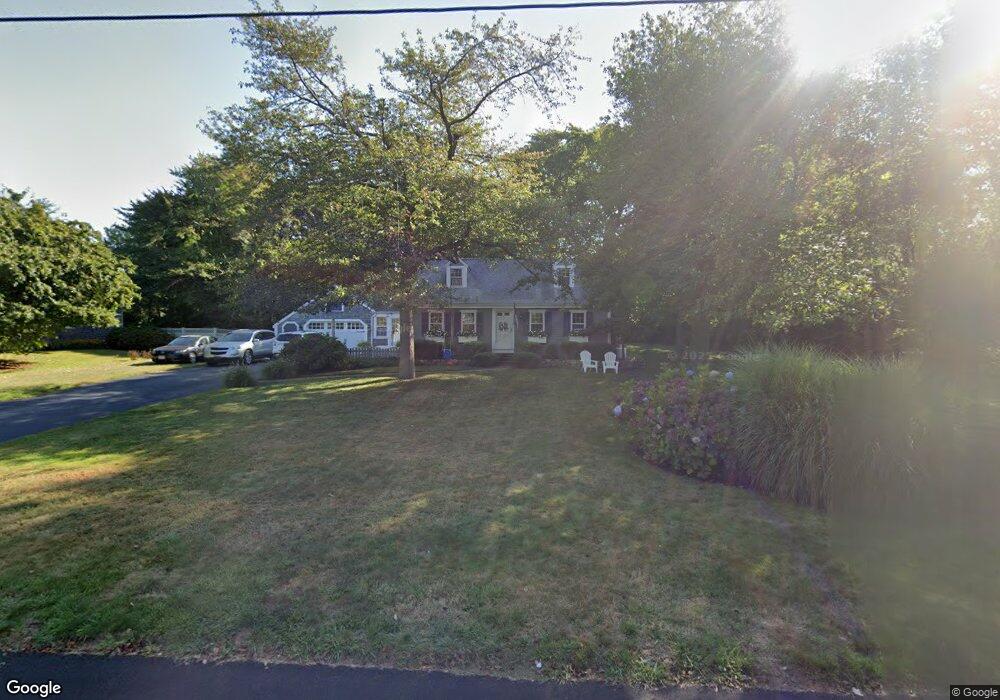
46 Cobb Ln Scituate, MA 02066
Estimated Value: $1,050,991 - $1,369,000
3
Beds
2
Baths
1,993
Sq Ft
$600/Sq Ft
Est. Value
About This Home
This home is located at 46 Cobb Ln, Scituate, MA 02066 and is currently estimated at $1,196,748, approximately $600 per square foot. 46 Cobb Ln is a home located in Plymouth County with nearby schools including Jenkins Elementary School, Lester J. Gates Middle School, and Scituate High School.
Ownership History
Date
Name
Owned For
Owner Type
Purchase Details
Closed on
Jun 1, 1983
Bought by
Newhall Richard S and Newhall Kathleen A
Current Estimated Value
Create a Home Valuation Report for This Property
The Home Valuation Report is an in-depth analysis detailing your home's value as well as a comparison with similar homes in the area
Home Values in the Area
Average Home Value in this Area
Purchase History
We collect this data history from publicly available records. To have your information removed, we recommend requesting removal directly through your county’s website.
| Date | Buyer | Sale Price | Title Company |
|---|---|---|---|
| Newhall Richard S | $95,000 | -- |
Source: Public Records
Mortgage History
We collect this data history from publicly available records. To have your information removed, we recommend requesting removal directly through your county’s website.
| Date | Status | Borrower | Loan Amount |
|---|---|---|---|
| Open | Newhall Richard S | $140,000 | |
| Closed | Newhall Richard S | $200,000 | |
| Closed | Newhall Richard S | $60,000 |
Source: Public Records
Tax History
| Year | Tax Paid | Tax Assessment Tax Assessment Total Assessment is a certain percentage of the fair market value that is determined by local assessors to be the total taxable value of land and additions on the property. | Land | Improvement |
|---|---|---|---|---|
| 2025 | $9,235 | $924,400 | $519,800 | $404,600 |
| 2024 | $9,760 | $942,100 | $491,400 | $450,700 |
| 2023 | $9,141 | $853,000 | $446,800 | $406,200 |
| 2022 | $9,141 | $724,300 | $383,800 | $340,500 |
| 2021 | $8,722 | $654,300 | $365,500 | $288,800 |
| 2020 | $8,508 | $630,200 | $351,400 | $278,800 |
| 2019 | $8,348 | $607,600 | $344,500 | $263,100 |
| 2018 | $8,051 | $577,100 | $331,500 | $245,600 |
| 2017 | $7,820 | $555,000 | $309,400 | $245,600 |
| 2016 | $7,848 | $555,000 | $309,400 | $245,600 |
| 2015 | $6,981 | $532,900 | $287,300 | $245,600 |
Source: Public Records
Map
Nearby Homes
- 9 Lincoln Ave
- 59 Greenfield Ln
- 0 Sunset Rd
- 156 First Parish Rd Unit 6
- 1 Trouants Island
- 11 Brookline Rd
- 32 Barker Rd Unit 3
- 6 Minot Light Ave
- 271 Central Ave
- 334 Chief Justice Cushing Hwy
- 25 Grace Way
- 23 Grace Way
- 6 Grace Way Unit 6
- 1 Grace Way Unit 1
- 234 Central Ave
- 23 Oceanside Dr
- 49 Jackson Rd
- 17 Hannah Brook Waye Unit 9
- 57 Oceanside Dr
- 5 Brand Blvd Unit 5
Your Personal Tour Guide
Ask me questions while you tour the home.