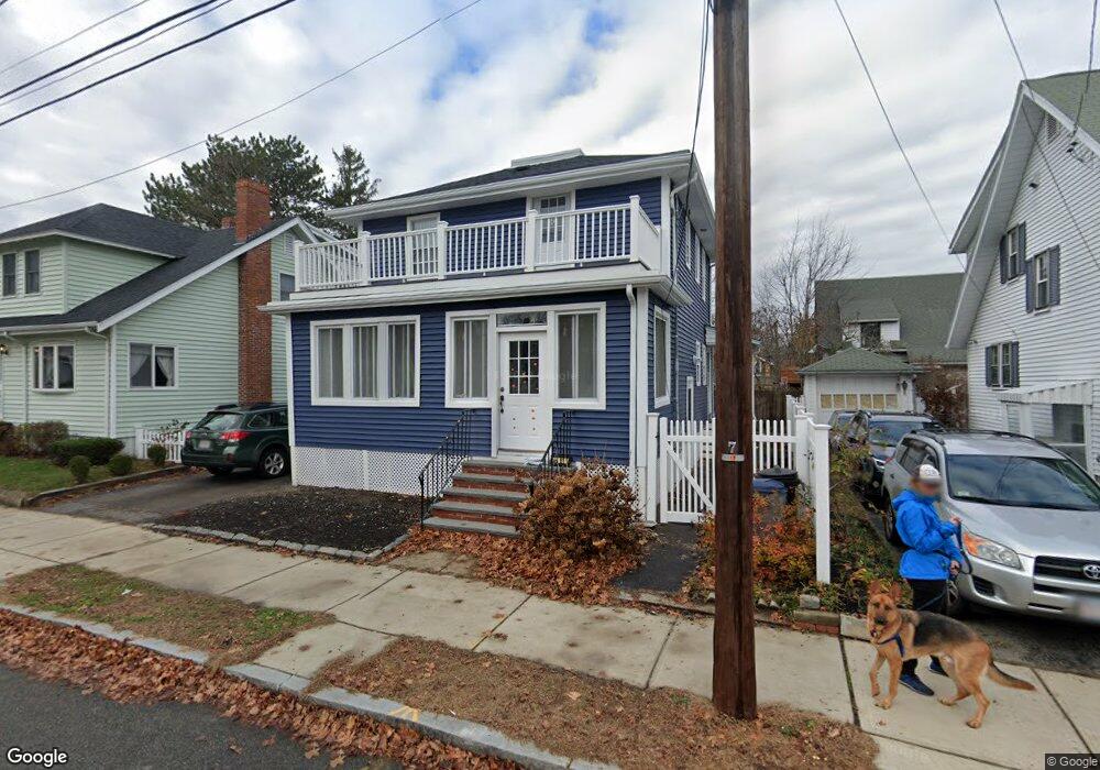
46 Conant Rd Quincy, MA 02171
North Quincy NeighborhoodEstimated Value: $723,504 - $747,000
4
Beds
1
Bath
1,296
Sq Ft
$568/Sq Ft
Est. Value
About This Home
This home is located at 46 Conant Rd, Quincy, MA 02171 and is currently estimated at $736,126, approximately $567 per square foot. 46 Conant Rd is a home located in Norfolk County with nearby schools including Squantum Elementary School, Atlantic Middle School, and North Quincy High School.
Ownership History
Date
Name
Owned For
Owner Type
Purchase Details
Closed on
Aug 18, 2017
Sold by
Choudhury Ashish and Choudhury Katarzyna
Bought by
Choudhury Ft
Current Estimated Value
Purchase Details
Closed on
May 11, 2011
Sold by
Krueger Francis J and Krueger Brianne
Bought by
Choudhury Katarzyna and Choudhury Ashish
Home Financials for this Owner
Home Financials are based on the most recent Mortgage that was taken out on this home.
Original Mortgage
$302,250
Interest Rate
4.88%
Mortgage Type
Purchase Money Mortgage
Purchase Details
Closed on
Sep 13, 2007
Sold by
Norton Marguerite M
Bought by
Botto Brianne and Krueger Francis J
Home Financials for this Owner
Home Financials are based on the most recent Mortgage that was taken out on this home.
Original Mortgage
$318,700
Interest Rate
6.7%
Mortgage Type
Purchase Money Mortgage
Create a Home Valuation Report for This Property
The Home Valuation Report is an in-depth analysis detailing your home's value as well as a comparison with similar homes in the area
Home Values in the Area
Average Home Value in this Area
Purchase History
| Date | Buyer | Sale Price | Title Company |
|---|---|---|---|
| Choudhury Ft | -- | -- | |
| Choudhury Katarzyna | $325,000 | -- | |
| Botto Brianne | $335,500 | -- |
Source: Public Records
Mortgage History
| Date | Status | Borrower | Loan Amount |
|---|---|---|---|
| Previous Owner | Choudhury Katarzyna | $302,250 | |
| Previous Owner | Botto Brianne | $318,700 |
Source: Public Records
Tax History
| Year | Tax Paid | Tax Assessment Tax Assessment Total Assessment is a certain percentage of the fair market value that is determined by local assessors to be the total taxable value of land and additions on the property. | Land | Improvement |
|---|---|---|---|---|
| 2025 | $7,612 | $660,200 | $328,600 | $331,600 |
| 2024 | $7,366 | $653,600 | $328,600 | $325,000 |
| 2023 | $6,692 | $601,300 | $298,700 | $302,600 |
| 2022 | $6,220 | $519,200 | $239,000 | $280,200 |
| 2021 | $5,923 | $487,900 | $239,000 | $248,900 |
| 2020 | $5,746 | $462,300 | $234,300 | $228,000 |
| 2019 | $5,069 | $403,900 | $225,300 | $178,600 |
| 2018 | $5,061 | $379,400 | $214,500 | $164,900 |
| 2017 | $4,879 | $344,300 | $195,000 | $149,300 |
| 2016 | $4,559 | $317,500 | $177,300 | $140,200 |
| 2015 | $4,228 | $289,600 | $161,200 | $128,400 |
| 2014 | $4,164 | $280,200 | $161,200 | $119,000 |
Source: Public Records
Map
Nearby Homes
- 297 Billings St
- 201 Billings St
- 212 Quincy Shore Dr
- 175 Quincy Shore Dr Unit B24
- 175 Quincy Shore Dr Unit B23
- 138 Quincy Shore Dr Unit 170
- 85 E Squantum St Unit 10
- 90 Quincy Shore Dr Unit 501
- 28 Apthorp St
- 133 Commander Shea Blvd Unit 502
- 133 Commander Shea Blvd Unit 203
- 133 Commander Shea Blvd Unit 709
- 100 Marina Dr Unit 615
- 100 Marina Dr Unit 306
- 10 Seaport Dr Unit 2213
- 865 E Squantum St
- 17 Holmes St Unit 204
- 17 Holmes St Unit 2
- 17 Holmes St Unit 1
- 19 Harbourside Rd Unit 19
Your Personal Tour Guide
Ask me questions while you tour the home.