46 Dartmouth St Hebron, OH 43025
Estimated Value: $431,879 - $516,000
3
Beds
3
Baths
1,848
Sq Ft
$255/Sq Ft
Est. Value
About This Home
This home is located at 46 Dartmouth St, Hebron, OH 43025 and is currently estimated at $471,720, approximately $255 per square foot. 46 Dartmouth St is a home located in Licking County with nearby schools including Jackson Intermediate School, Lakewood Middle School, and Lakewood High School.
Ownership History
Date
Name
Owned For
Owner Type
Purchase Details
Closed on
Nov 1, 2001
Sold by
Reis Priscilla K
Bought by
Smith E Craig
Current Estimated Value
Home Financials for this Owner
Home Financials are based on the most recent Mortgage that was taken out on this home.
Original Mortgage
$124,000
Outstanding Balance
$48,751
Interest Rate
6.8%
Mortgage Type
New Conventional
Estimated Equity
$422,969
Purchase Details
Closed on
Jun 6, 2001
Sold by
Reis Priscilla K
Bought by
Williams Judith A
Create a Home Valuation Report for This Property
The Home Valuation Report is an in-depth analysis detailing your home's value as well as a comparison with similar homes in the area
Home Values in the Area
Average Home Value in this Area
Purchase History
| Date | Buyer | Sale Price | Title Company |
|---|---|---|---|
| Smith E Craig | $155,000 | -- | |
| Williams Judith A | $27,000 | -- |
Source: Public Records
Mortgage History
| Date | Status | Borrower | Loan Amount |
|---|---|---|---|
| Open | Smith E Craig | $124,000 |
Source: Public Records
Tax History Compared to Growth
Tax History
| Year | Tax Paid | Tax Assessment Tax Assessment Total Assessment is a certain percentage of the fair market value that is determined by local assessors to be the total taxable value of land and additions on the property. | Land | Improvement |
|---|---|---|---|---|
| 2024 | $3,922 | $104,380 | $27,900 | $76,480 |
| 2023 | $3,934 | $104,380 | $27,900 | $76,480 |
| 2022 | $3,247 | $74,210 | $13,060 | $61,150 |
| 2021 | $3,347 | $74,210 | $13,060 | $61,150 |
| 2020 | $3,353 | $74,210 | $13,060 | $61,150 |
| 2019 | $2,663 | $55,340 | $10,050 | $45,290 |
| 2018 | $2,691 | $0 | $0 | $0 |
| 2017 | $2,535 | $0 | $0 | $0 |
| 2016 | $2,535 | $0 | $0 | $0 |
| 2015 | $2,380 | $0 | $0 | $0 |
| 2014 | $3,681 | $0 | $0 | $0 |
| 2013 | $2,352 | $0 | $0 | $0 |
Source: Public Records
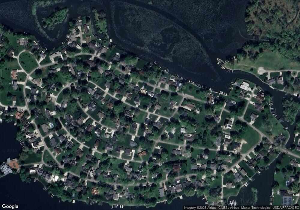
Map
Nearby Homes
- 22 Barton Place
- 149 Amherst Dr
- 206 Freeman Memorial Dr
- 459 Lakeshore Dr E
- 4401 Hunts Landing Rd Unit 202
- 4401 Hunts Landing Rd Unit 304
- 4401 Hunts Landing Rd Unit 204
- 541 Lakeshore Dr E
- 118 Sprague Dr
- 613 Newport Ln
- 615 Newport Ln
- 610 Newport Ln
- 142 Narragansett Dr
- 112 Narragansett Dr
- 11290 Honey Creek Rd
- 10726 Columbus Ave
- 29 Misty Ln
- 109 Beacon Light Ln
- 40 Beacon Light Ln
- 10800 Honey Creek Rd
- 33 Dartmouth St
- 26 Dartmouth Rd SE
- 26 Dartmouth St
- 76 Dartmouth Rd SE
- 908 Lakeshore Dr W
- 886 Lakeshore Dr W
- 866 Lakeshore Dr W
- 76 Dartmouth St
- 0 Hillcrest Dr
- 926 Lakeshore Dr W
- 854 Lakeshore Dr W
- 96 Dartmouth St
- 87 Dartmouth St
- 0 Avalon Place
- 87 Dartmouth Rd SE
- 226 Wilshire Dr
- 834 Lakeshore Dr W
- 206 Wilshire Dr
- 97 Wilshire Dr
- 941 Lakeshore Dr W