Estimated Value: $828,000 - $931,799
4
Beds
3
Baths
2,563
Sq Ft
$341/Sq Ft
Est. Value
About This Home
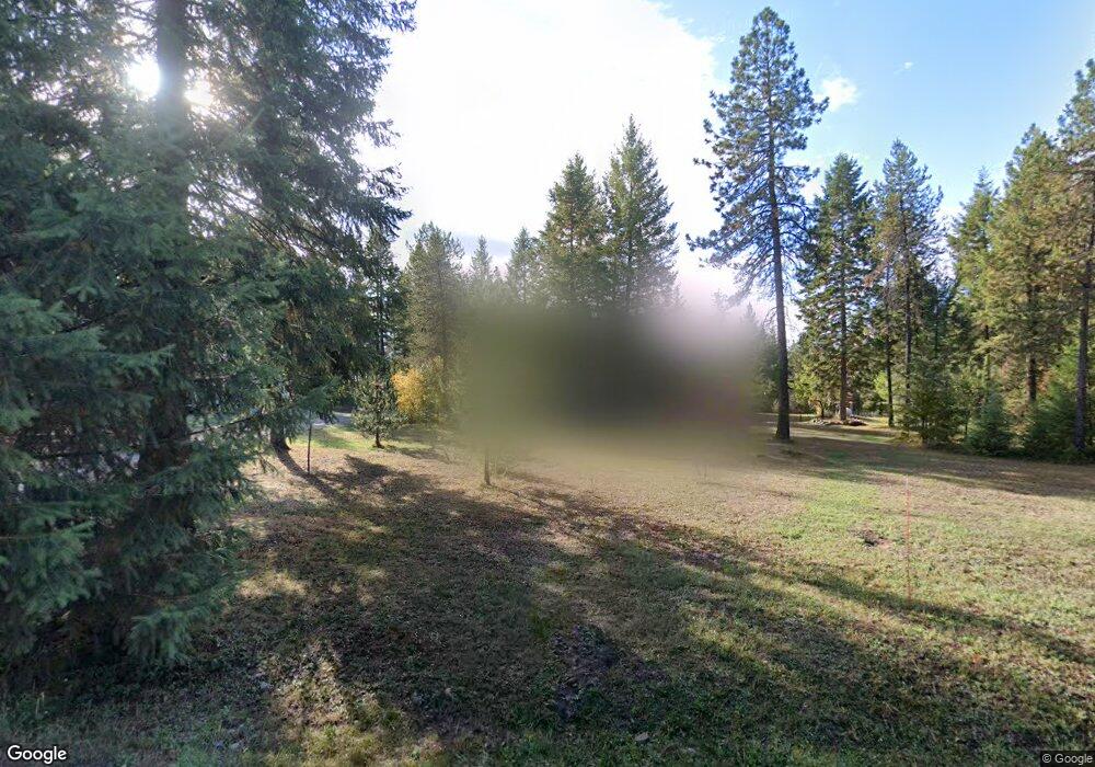
This home is located at 46 Doe Run, Athol, ID 83801 and is currently estimated at $875,200, approximately $341 per square foot. 46 Doe Run is a home located in Bonner County with nearby schools including Southside Elementary School, Sandpoint Middle School, and Sandpoint High School.
Ownership History
Date
Name
Owned For
Owner Type
Purchase Details
Closed on
Apr 17, 2020
Sold by
Rothgery Garrett and Rothgery Brandee
Bought by
Pasch Scott G and Pasch Melissa M
Current Estimated Value
Home Financials for this Owner
Home Financials are based on the most recent Mortgage that was taken out on this home.
Original Mortgage
$325,000
Outstanding Balance
$284,884
Interest Rate
3.2%
Mortgage Type
New Conventional
Estimated Equity
$590,316
Purchase Details
Closed on
May 16, 2019
Sold by
Montgomery John and Montgomery Debra I
Bought by
Rothgery Garrett and Rothgery Brandee
Purchase Details
Closed on
Aug 10, 2006
Sold by
Hansen Jon D and Hansen Elizabeth A
Bought by
Arnold Wincent W and Arnold Dana M
Home Financials for this Owner
Home Financials are based on the most recent Mortgage that was taken out on this home.
Original Mortgage
$160,000
Interest Rate
6.76%
Mortgage Type
New Conventional
Create a Home Valuation Report for This Property
The Home Valuation Report is an in-depth analysis detailing your home's value as well as a comparison with similar homes in the area
Purchase History
| Date | Buyer | Sale Price | Title Company |
|---|---|---|---|
| Pasch Scott G | -- | First American Ttl Sandpoint | |
| Rothgery Garrett | -- | Alliance Title Sandpoint | |
| Arnold Wincent W | -- | -- |
Source: Public Records
Mortgage History
| Date | Status | Borrower | Loan Amount |
|---|---|---|---|
| Open | Pasch Scott G | $325,000 | |
| Previous Owner | Arnold Wincent W | $160,000 |
Source: Public Records
Tax History
| Year | Tax Paid | Tax Assessment Tax Assessment Total Assessment is a certain percentage of the fair market value that is determined by local assessors to be the total taxable value of land and additions on the property. | Land | Improvement |
|---|---|---|---|---|
| 2025 | $3,110 | $812,633 | $250,895 | $561,738 |
| 2024 | $2,887 | $874,391 | $298,992 | $575,399 |
| 2023 | $2,457 | $733,820 | $267,704 | $466,116 |
| 2022 | $3,377 | $798,696 | $203,586 | $595,110 |
| 2021 | $3,048 | $524,344 | $99,630 | $424,714 |
| 2020 | $2,809 | $438,305 | $89,326 | $348,979 |
| 2019 | $2,204 | $429,414 | $89,326 | $340,088 |
| 2018 | $1,729 | $347,324 | $71,711 | $275,613 |
| 2017 | $1,729 | $282,010 | $0 | $0 |
| 2016 | $1,881 | $288,670 | $0 | $0 |
| 2015 | -- | $292,080 | $0 | $0 |
| 2014 | -- | $296,530 | $0 | $0 |
Source: Public Records
Map
Nearby Homes
- 600 Rock Springs Rd
- NKA E Lowland Dr
- NKA Hwy 95
- L23 Blk 2 Forest View Recreational Trac
- 133 Pine Meadow
- 67 Pine Meadow
- NKA Akin Back Ranch Rd
- 216 Mara Meadows
- 0 Nka Pine Meadow
- 1438 Granite Loop
- TBD Red Fir Rd
- 8599 E Apache Trail
- 3 Ellington Ct
- NNA Arden
- 4 Ellington Ct
- NKA Bunco Rd Lot 2
- 7741 E Howard Rd
- 10050 E Duce Rd
- 12664 E Howard Rd
- 12626 E Howard Rd
- TBD Rock Springs Rd
- NNA Rock Springs Rd
- NNA Rock Springs
- 777 Rock Springs Rd
- 72 Doe Run
- 0 Doe Run
- 680 Rock Springs Rd
- 31 Doe Run
- 128 Doe Run
- 600 Rock Springs Rd
- 777 Rock Springs Rd
- 1001 Rock Springs Rd
- 0 Rock Springs Rd
- 0 E Lowland Dr
- 0 E Lowland Dr
- Parcel 12 E Lowland Dr
- 520 Rock Springs Rd
- 602 Rock Springs Rd
- 193 Doe Run
- 190 Doe Run
Your Personal Tour Guide
Ask me questions while you tour the home.