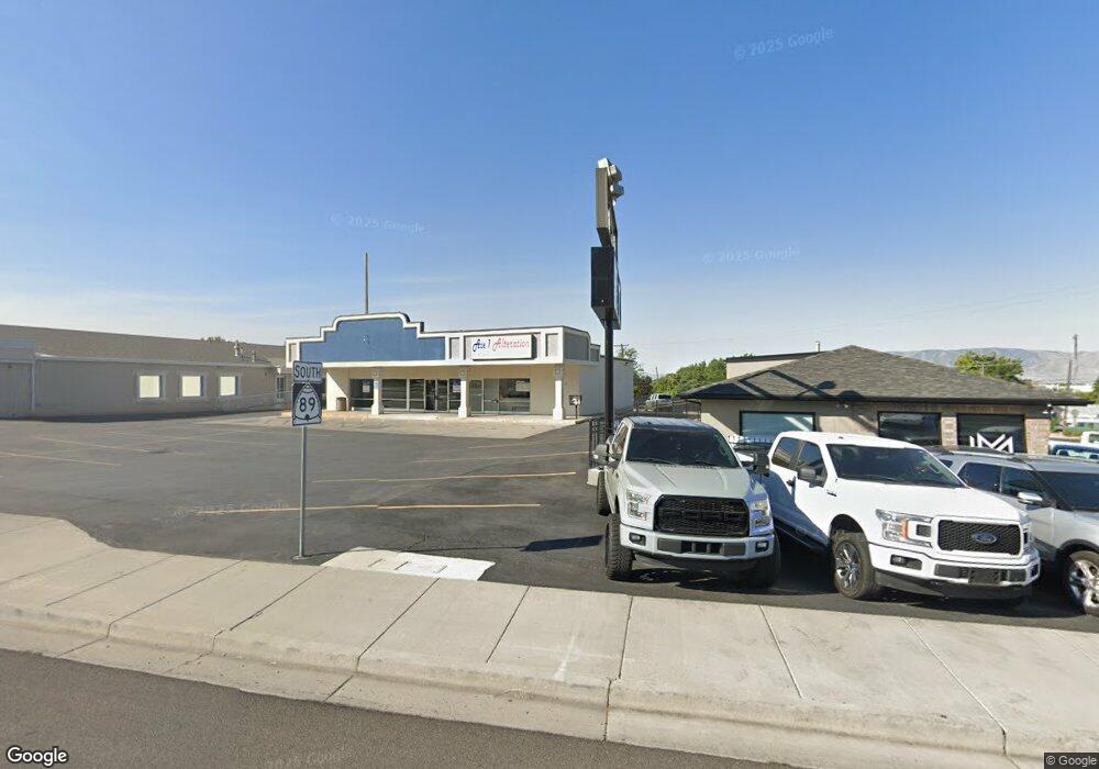
46 E State Rd Pleasant Grove, UT 84062
Studio
--
Bath
2,422
Sq Ft
18,295
Sq Ft Lot
About This Home
This home is located at 46 E State Rd, Pleasant Grove, UT 84062. 46 E State Rd is a home located in Utah County with nearby schools including Mount Mahogany School, Pleasant Grove Junior High School, and Pleasant Grove High School.
Ownership History
Date
Name
Owned For
Owner Type
Purchase Details
Closed on
Oct 24, 2013
Sold by
D B T Properties Llc
Bought by
Dbt Subway Llc
Purchase Details
Closed on
Feb 1, 2012
Sold by
Hmc Investment Corporation
Bought by
Utah Department Of Transportation
Purchase Details
Closed on
Nov 3, 2010
Sold by
Hmc Investment Corporation
Bought by
D B T Properties Llc
Home Financials for this Owner
Home Financials are based on the most recent Mortgage that was taken out on this home.
Original Mortgage
$300,000
Interest Rate
4.33%
Mortgage Type
Commercial
Create a Home Valuation Report for This Property
The Home Valuation Report is an in-depth analysis detailing your home's value as well as a comparison with similar homes in the area
Home Values in the Area
Average Home Value in this Area
Purchase History
| Date | Buyer | Sale Price | Title Company |
|---|---|---|---|
| Dbt Subway Llc | -- | None Available | |
| Utah Department Of Transportation | -- | Founders Title Company | |
| Utah Department Of Transportation | -- | Founders Title Company | |
| D B T Properties Llc | -- | Access Title Company |
Source: Public Records
Mortgage History
| Date | Status | Borrower | Loan Amount |
|---|---|---|---|
| Previous Owner | D B T Properties Llc | $300,000 |
Source: Public Records
Tax History
| Year | Tax Paid | Tax Assessment Tax Assessment Total Assessment is a certain percentage of the fair market value that is determined by local assessors to be the total taxable value of land and additions on the property. | Land | Improvement |
|---|---|---|---|---|
| 2025 | $4,945 | $581,600 | $371,000 | $210,600 |
| 2024 | $4,945 | $589,800 | $0 | $0 |
| 2023 | $4,708 | $575,200 | $0 | $0 |
| 2022 | $4,438 | $539,500 | $355,100 | $184,400 |
| 2021 | $4,575 | $465,700 | $323,300 | $142,400 |
| 2020 | $4,912 | $490,200 | $323,300 | $166,900 |
| 2019 | $4,566 | $471,300 | $303,700 | $167,600 |
| 2018 | $4,459 | $435,200 | $289,200 | $146,000 |
| 2017 | $4,462 | $421,500 | $0 | $0 |
| 2016 | $4,479 | $408,500 | $0 | $0 |
| 2015 | $4,942 | $426,800 | $0 | $0 |
| 2014 | $3,905 | $334,100 | $0 | $0 |
Source: Public Records
Map
Nearby Homes
- 412 S 350 E
- 165 S 200 E
- 190 E 100 S
- 35 S 100 E
- 77 N Main St
- 435 E 790 S Unit 8
- 494 E Apple Blossom Dr
- 308 S 740 W Unit 303
- 383 S 790 W
- 784 W 260 S
- 276 S 840 W
- 312 N 440 W
- 916 W 260 S
- 169 S Pleasant Grove Blvd Unit 51
- 165 S Pleasant Grove Blvd Unit 45
- 956 W 580 S Unit 120
- 240 Grove Creek Dr
- 461 S 980 W Unit 128
- 929 W 670 S Unit 9
- 590 N Buffalo Grass Ln
- 26 E State Rd
- 38 E State Rd Unit 32
- 63 E State Rd
- 18 E State Rd Unit 31
- 3 W State St Unit 30
- 88 E State Rd
- 505 S Main St
- 45 E State Rd
- 397 S Main St
- 490 S Main St
- 40 Smith Ln Unit 38
- 33 E State Rd
- 387 S Main St
- 530 N Geneva Rd
- 50 Smith Ln
- 100 E 500 S
- 16 W Country Vllg Plat A
- 540 S Main St
- 379 S Main St
- 60 Smith Ln
Your Personal Tour Guide
Ask me questions while you tour the home.