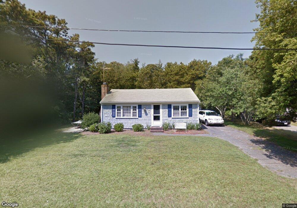
46 Ellis Dr Dennis Port, MA 02639
Dennis Port NeighborhoodEstimated Value: $486,000 - $573,000
2
Beds
1
Bath
800
Sq Ft
$664/Sq Ft
Est. Value
About This Home
This home is located at 46 Ellis Dr, Dennis Port, MA 02639 and is currently estimated at $530,878, approximately $663 per square foot. 46 Ellis Dr is a home located in Barnstable County with nearby schools including Dennis-Yarmouth Regional High School and St. Pius X. School.
Ownership History
Date
Name
Owned For
Owner Type
Purchase Details
Closed on
Feb 19, 2025
Sold by
Stafford William M and Stafford Gail M
Bought by
46 Ellis Dr Rt and Stafford
Current Estimated Value
Purchase Details
Closed on
Oct 3, 2003
Sold by
Ross Patricia Ann and Ross Philip A
Bought by
Stafford William M and Stafford Gail M
Home Financials for this Owner
Home Financials are based on the most recent Mortgage that was taken out on this home.
Original Mortgage
$184,000
Interest Rate
6.25%
Mortgage Type
Purchase Money Mortgage
Create a Home Valuation Report for This Property
The Home Valuation Report is an in-depth analysis detailing your home's value as well as a comparison with similar homes in the area
Home Values in the Area
Average Home Value in this Area
Purchase History
| Date | Buyer | Sale Price | Title Company |
|---|---|---|---|
| 46 Ellis Dr Rt | -- | None Available | |
| Stafford William M | $230,000 | -- | |
| Stafford William M | $230,000 | -- |
Source: Public Records
Mortgage History
| Date | Status | Borrower | Loan Amount |
|---|---|---|---|
| Previous Owner | Stafford William M | $184,000 |
Source: Public Records
Tax History Compared to Growth
Tax History
| Year | Tax Paid | Tax Assessment Tax Assessment Total Assessment is a certain percentage of the fair market value that is determined by local assessors to be the total taxable value of land and additions on the property. | Land | Improvement |
|---|---|---|---|---|
| 2025 | $2,038 | $470,700 | $182,900 | $287,800 |
| 2024 | $1,901 | $433,000 | $175,900 | $257,100 |
| 2023 | $1,838 | $393,600 | $159,900 | $233,700 |
| 2022 | $1,766 | $315,400 | $144,100 | $171,300 |
| 2021 | $5,508 | $282,100 | $141,200 | $140,900 |
| 2020 | $1,576 | $258,300 | $130,400 | $127,900 |
| 2019 | $1,491 | $241,700 | $127,800 | $113,900 |
| 2018 | $5,232 | $236,600 | $131,800 | $104,800 |
| 2017 | $4,938 | $219,100 | $121,700 | $97,400 |
| 2016 | $1,332 | $204,000 | $126,800 | $77,200 |
| 2015 | $1,306 | $204,000 | $126,800 | $77,200 |
| 2014 | $1,198 | $188,700 | $111,500 | $77,200 |
Source: Public Records
Map
Nearby Homes
- 12 Cross St
- 102 Sea St
- 22 Ferncliff Rd
- 159 Center St Unit 22
- 26 Manning Rd
- 72 Bassett Ln
- 22 Wixon Rd
- 10 Candlewood Ln Unit 2-1
- 12 Candlewood Ln Unit 2-9
- 402 Old Wharf Rd
- 402 Old Wharf Rd
- 31 Easy St
- 268 Main St
- 11 Ocean Park W
- 405 Old Wharf Rd Unit B204
- 405 Old Wharf Rd Unit B204
- 37-A Beach Hills Rd
- 37 Beach Hills Rd
- 221 Upper County Rd Unit 2A
- 221 Upper County Rd Unit 2A