Estimated Value: $568,667
--
Bed
--
Bath
800
Sq Ft
$711/Sq Ft
Est. Value
About This Home
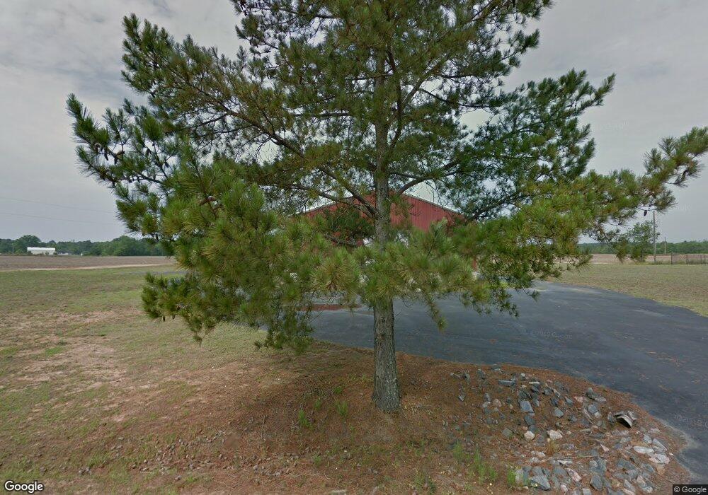
This home is located at 46 Enterprise Ave, Aiken, SC 29803 and is currently estimated at $568,667, approximately $710 per square foot. 46 Enterprise Ave is a home located in Aiken County with nearby schools including East Aiken School of the Arts, M.B. Kennedy Middle School, and Aiken Intermediate School.
Ownership History
Date
Name
Owned For
Owner Type
Purchase Details
Closed on
Feb 8, 2021
Sold by
Cottone Michael B and Cottone Mary A
Bought by
Golden Harvest Food Bank Inc
Current Estimated Value
Purchase Details
Closed on
Feb 28, 2018
Sold by
Automotive Of Aiken Llc
Bought by
Cottone Michael B
Purchase Details
Closed on
Aug 22, 2014
Sold by
Wc Of Aiken Llc
Bought by
W & C Automotive Of Aiken Llc
Home Financials for this Owner
Home Financials are based on the most recent Mortgage that was taken out on this home.
Original Mortgage
$148,000
Interest Rate
4.19%
Mortgage Type
Commercial
Create a Home Valuation Report for This Property
The Home Valuation Report is an in-depth analysis detailing your home's value as well as a comparison with similar homes in the area
Home Values in the Area
Average Home Value in this Area
Purchase History
| Date | Buyer | Sale Price | Title Company |
|---|---|---|---|
| Golden Harvest Food Bank Inc | $405,000 | None Available | |
| Cottone Michael B | -- | None Available | |
| W & C Automotive Of Aiken Llc | -- | -- |
Source: Public Records
Mortgage History
| Date | Status | Borrower | Loan Amount |
|---|---|---|---|
| Previous Owner | W & C Automotive Of Aiken Llc | $148,000 |
Source: Public Records
Tax History Compared to Growth
Tax History
| Year | Tax Paid | Tax Assessment Tax Assessment Total Assessment is a certain percentage of the fair market value that is determined by local assessors to be the total taxable value of land and additions on the property. | Land | Improvement |
|---|---|---|---|---|
| 2023 | $0 | $0 | $0 | $337,520 |
| 2022 | $6,447 | $27,770 | $0 | $0 |
| 2021 | $1,529 | $15,850 | $0 | $0 |
| 2020 | $1,349 | $13,500 | $0 | $0 |
| 2019 | $1,349 | $13,500 | $0 | $0 |
| 2018 | $4,738 | $13,500 | $2,280 | $11,220 |
| 2017 | $4,708 | $0 | $0 | $0 |
| 2016 | $4,710 | $0 | $0 | $0 |
| 2015 | $4,843 | $0 | $0 | $0 |
| 2014 | $3,301 | $0 | $0 | $0 |
| 2013 | -- | $0 | $0 | $0 |
Source: Public Records
Map
Nearby Homes
- 4047 Sorensten Dr
- 4127 Sorensten Dr
- 192 Sierra Dr
- 500 Date Palm Cir
- 610 Date Palm Cir
- 770 E Pine Log Rd
- 188 Fox Haven Dr
- 254 Harrow Cir
- 401 Fox Haven Dr
- 63 Ward Cir
- 678 Fox Haven Dr
- 95 Trailwood Ave
- 106 Mallard Lake Dr
- 327 Southbank Dr
- 159 Mallard Lake Dr
- 107 Robinwood Dr
- 124 Driftwood Cir
- 810 Carnation Pass
- 503 E Pine Log Rd
- 477 E Pine Log Rd
- 14 Enterprise Ave
- 808 Market Place
- 145 Riverbirch Dr
- 827 Market Place
- 361 Tahoe Dr
- 4015 Sorensten Dr
- 357 Tahoe Dr
- 4025 Sorensten Dr
- 4029 Sorensten Dr
- 4035 Sorensten Dr
- 4041 Sorensten Dr
- 4027 Sorensten Dr
- 160 Riverbirch Dr Unit 2
- 160 Riverbirch Dr Unit 5
- 160 Riverbirch Dr Unit 7D
- 160 Riverbirch Dr
- 341 Tahoe Dr
- 4024 Sorensten Dr
- 356 Tahoe Dr
- 350 Tahoe Dr