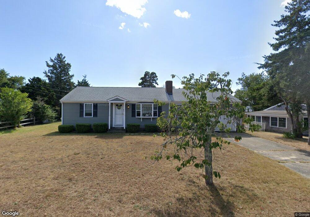
46 Glen Rd Hyannis, MA 02601
Hyannis NeighborhoodEstimated Value: $521,867 - $675,000
3
Beds
1
Bath
1,201
Sq Ft
$484/Sq Ft
Est. Value
About This Home
This home is located at 46 Glen Rd, Hyannis, MA 02601 and is currently estimated at $581,467, approximately $484 per square foot. 46 Glen Rd is a home located in Barnstable County with nearby schools including Hyannis West Elementary School, Barnstable United Elementary School, and Barnstable Intermediate School.
Ownership History
Date
Name
Owned For
Owner Type
Purchase Details
Closed on
Feb 25, 2025
Sold by
Maroney Mary L and Maroney Vincent G
Bought by
Maroney Ft and Maroney
Current Estimated Value
Purchase Details
Closed on
Sep 28, 2000
Sold by
Milardo Michael P and Milardo Diane C
Bought by
Maroney Vincent G
Home Financials for this Owner
Home Financials are based on the most recent Mortgage that was taken out on this home.
Original Mortgage
$132,400
Interest Rate
7.94%
Mortgage Type
Purchase Money Mortgage
Create a Home Valuation Report for This Property
The Home Valuation Report is an in-depth analysis detailing your home's value as well as a comparison with similar homes in the area
Home Values in the Area
Average Home Value in this Area
Purchase History
| Date | Buyer | Sale Price | Title Company |
|---|---|---|---|
| Maroney Ft | -- | None Available | |
| Maroney Ft | -- | None Available | |
| Maroney Vincent G | $165,500 | -- | |
| Maroney Vincent G | $165,500 | -- |
Source: Public Records
Mortgage History
| Date | Status | Borrower | Loan Amount |
|---|---|---|---|
| Previous Owner | Maroney Vincent G | $131,974 | |
| Previous Owner | Maroney Vincent G | $132,400 |
Source: Public Records
Tax History
| Year | Tax Paid | Tax Assessment Tax Assessment Total Assessment is a certain percentage of the fair market value that is determined by local assessors to be the total taxable value of land and additions on the property. | Land | Improvement |
|---|---|---|---|---|
| 2025 | $4,094 | $441,600 | $164,700 | $276,900 |
| 2024 | $3,979 | $439,700 | $164,700 | $275,000 |
| 2023 | $3,873 | $404,700 | $162,700 | $242,000 |
| 2022 | $3,782 | $326,900 | $115,700 | $211,200 |
| 2021 | $3,459 | $290,400 | $115,700 | $174,700 |
| 2020 | $3,473 | $281,700 | $115,700 | $166,000 |
| 2019 | $3,336 | $265,200 | $115,700 | $149,500 |
| 2018 | $2,905 | $236,200 | $126,900 | $109,300 |
| 2017 | $2,772 | $231,200 | $126,900 | $104,300 |
| 2016 | $2,764 | $235,600 | $131,300 | $104,300 |
| 2015 | $2,638 | $228,000 | $123,800 | $104,200 |
Source: Public Records
Map
Nearby Homes
Your Personal Tour Guide
Ask me questions while you tour the home.