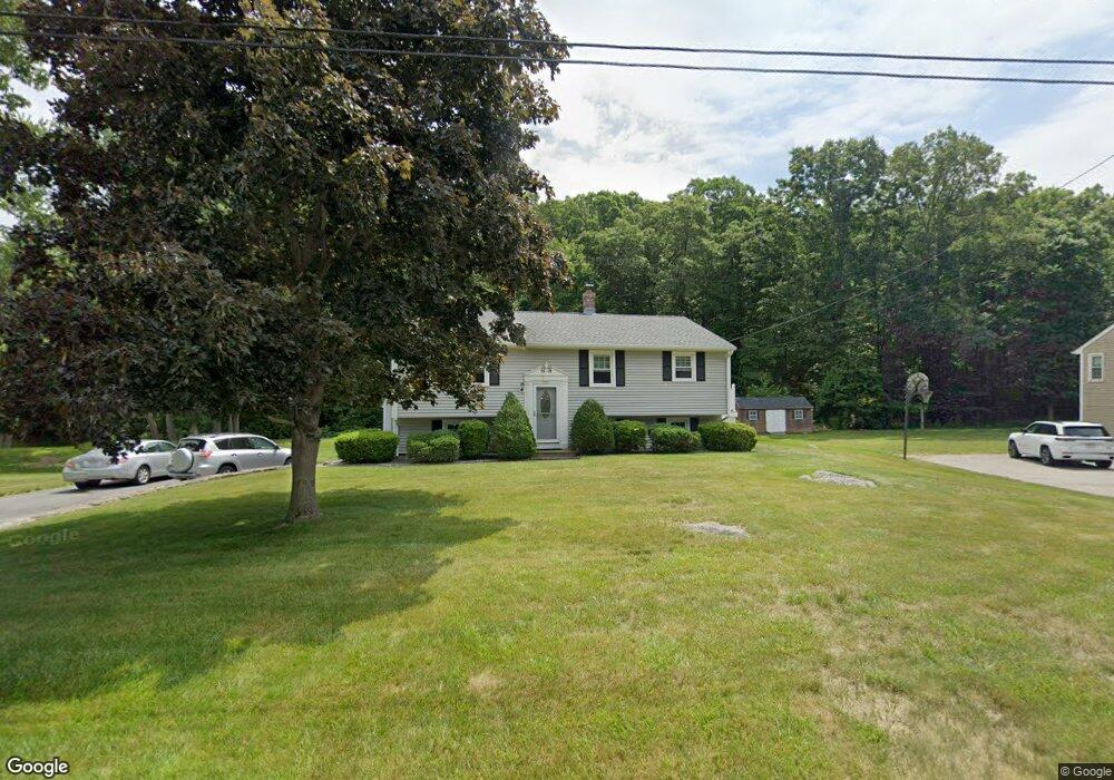
46 Gover Rd Millbury, MA 01527
Estimated Value: $444,000 - $484,000
3
Beds
1
Bath
1,040
Sq Ft
$441/Sq Ft
Est. Value
About This Home
This home is located at 46 Gover Rd, Millbury, MA 01527 and is currently estimated at $458,122, approximately $440 per square foot. 46 Gover Rd is a home located in Worcester County with nearby schools including Elmwood Street Elementary School, Raymond E. Shaw Elementary School, and Millbury Junior/Senior High School.
Ownership History
Date
Name
Owned For
Owner Type
Purchase Details
Closed on
May 30, 2023
Sold by
Huchowski Jay J and Huchowski Deborah M
Bought by
Huchowski Ft and Huchowski
Current Estimated Value
Purchase Details
Closed on
May 3, 1985
Bought by
Huchowski Jay J and Huchowski Deborah M
Create a Home Valuation Report for This Property
The Home Valuation Report is an in-depth analysis detailing your home's value as well as a comparison with similar homes in the area
Home Values in the Area
Average Home Value in this Area
Purchase History
| Date | Buyer | Sale Price | Title Company |
|---|---|---|---|
| Huchowski Ft | -- | None Available | |
| Huchowski Ft | -- | None Available | |
| Huchowski Jay J | -- | -- |
Source: Public Records
Mortgage History
| Date | Status | Borrower | Loan Amount |
|---|---|---|---|
| Previous Owner | Huchowski Jay J | $108,200 | |
| Previous Owner | Huchowski Jay J | $110,000 | |
| Previous Owner | Huchowski Jay J | $12,300 |
Source: Public Records
Tax History Compared to Growth
Tax History
| Year | Tax Paid | Tax Assessment Tax Assessment Total Assessment is a certain percentage of the fair market value that is determined by local assessors to be the total taxable value of land and additions on the property. | Land | Improvement |
|---|---|---|---|---|
| 2025 | $5,647 | $421,700 | $113,300 | $308,400 |
| 2024 | $5,181 | $391,600 | $105,000 | $286,600 |
| 2023 | $4,808 | $332,700 | $73,600 | $259,100 |
| 2022 | $4,487 | $299,100 | $73,600 | $225,500 |
| 2021 | $4,411 | $285,900 | $73,600 | $212,300 |
| 2020 | $4,527 | $295,300 | $73,600 | $221,700 |
| 2019 | $4,284 | $270,300 | $73,300 | $197,000 |
| 2018 | $4,232 | $259,000 | $73,300 | $185,700 |
| 2017 | $3,713 | $226,000 | $73,300 | $152,700 |
| 2016 | $3,490 | $212,000 | $73,300 | $138,700 |
| 2015 | $3,424 | $208,000 | $74,500 | $133,500 |
| 2014 | $3,466 | $202,700 | $77,900 | $124,800 |
Source: Public Records
Map
Nearby Homes
- 90 Macarthur Dr
- 123 Riverlin St
- 64 Millbury Ave
- 15 Rayburn Dr
- 3 May St
- 12 Alstead Path
- 2 Diane St
- 86 Wheelock Ave
- 20 Woodridge Rd
- 52 Clearview Terrace Unit 39
- 17 Atwood Ave
- 11 Westview Ave
- 30 Lexington Rd
- 1 Pineland Ave
- 1 Broadmeadow Ave
- 12 Irene Ct
- 15 Clearview Terrace Unit 68
- 5 Edward Dr
- 16 Jackie Dr
- Lot 1 Cooper Rd