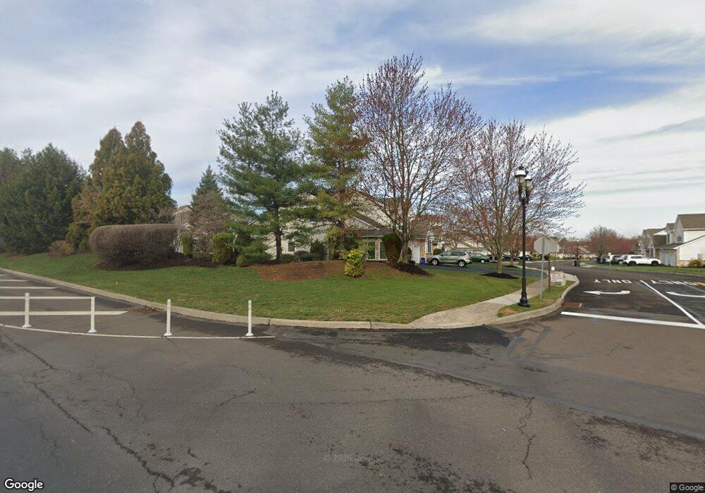
46 Griffith Miles Cir Warminster, PA 18974
Estimated Value: $466,000 - $494,000
2
Beds
3
Baths
1,798
Sq Ft
$270/Sq Ft
Est. Value
About This Home
This home is located at 46 Griffith Miles Cir, Warminster, PA 18974 and is currently estimated at $485,769, approximately $270 per square foot. 46 Griffith Miles Cir is a home located in Bucks County with nearby schools including Maureen M. Welch Elementary School, Richboro Middle School, and Council Rock High School - South.
Ownership History
Date
Name
Owned For
Owner Type
Purchase Details
Closed on
Jun 17, 2013
Sold by
Norbeck John R and Norbek Sandra T
Bought by
Norbeck John R and Norbeck Sandra T
Current Estimated Value
Purchase Details
Closed on
Sep 6, 2001
Sold by
Deluca Enterprises Inc
Bought by
Norbeck John R and Norbeck Sandra T
Home Financials for this Owner
Home Financials are based on the most recent Mortgage that was taken out on this home.
Original Mortgage
$135,000
Interest Rate
6.6%
Create a Home Valuation Report for This Property
The Home Valuation Report is an in-depth analysis detailing your home's value as well as a comparison with similar homes in the area
Home Values in the Area
Average Home Value in this Area
Purchase History
| Date | Buyer | Sale Price | Title Company |
|---|---|---|---|
| Norbeck John R | $175,385 | None Available | |
| Norbeck John R | $218,800 | -- |
Source: Public Records
Mortgage History
| Date | Status | Borrower | Loan Amount |
|---|---|---|---|
| Closed | Norbeck John R | $135,000 |
Source: Public Records
Tax History Compared to Growth
Tax History
| Year | Tax Paid | Tax Assessment Tax Assessment Total Assessment is a certain percentage of the fair market value that is determined by local assessors to be the total taxable value of land and additions on the property. | Land | Improvement |
|---|---|---|---|---|
| 2025 | $6,009 | $31,200 | $4,500 | $26,700 |
| 2024 | $6,009 | $31,200 | $4,500 | $26,700 |
| 2023 | $5,664 | $31,200 | $4,500 | $26,700 |
| 2022 | $5,612 | $31,200 | $4,500 | $26,700 |
| 2021 | $5,434 | $31,200 | $4,500 | $26,700 |
| 2020 | $5,312 | $31,200 | $4,500 | $26,700 |
| 2019 | $5,085 | $31,200 | $4,500 | $26,700 |
| 2018 | $4,994 | $31,200 | $4,500 | $26,700 |
| 2017 | $4,802 | $31,200 | $4,500 | $26,700 |
| 2016 | $4,802 | $31,200 | $4,500 | $26,700 |
| 2015 | -- | $31,200 | $4,500 | $26,700 |
| 2014 | -- | $31,200 | $4,500 | $26,700 |
Source: Public Records
Map
Nearby Homes
- 146 Grandview Dr
- 56 Parry Way
- 10 Spring Mill Dr
- 55 Parry Way
- The Addis Plan at The Reserve at Spring Mill
- The Beckett Plan at The Reserve at Spring Mill
- 59 Parry Way
- 9 Spring Mill Dr
- 11 Spring Mill Dr
- 8 Lacey Ln
- 18 Lacey Ln
- 11 Lincoln Ave
- 1297 Twin Streams Dr
- 109 Wilson Ave
- 451 Twin Streams Dr
- 667 Arbor Ln
- 675 Cheryl Dr
- 1240 June Rd
- 290 Hatboro Rd
- 1256 Dahlia Rd
- 50 Griffith Miles Cir
- 54 Griffith Miles Cir
- 32 Ashley Dr
- 36 Ashley Dr
- 38 Ashley Dr
- 24 Grandview Dr
- 58 Griffith Miles Cir
- 26 Grandview Dr
- 42 Ashley Dr
- 28 Grandview Dr
- 22 Ashley Dr
- 30 Grandview Dr
- 34 Grandview Dr
- 18 Ashley Dr
- 47 Griffith Miles Cir
- 43 Griffith Miles Cir
- 51 Griffith Miles Cir
- 55 Griffith Miles Cir
- 14 Ashley Dr
- 59 Griffith Miles Cir